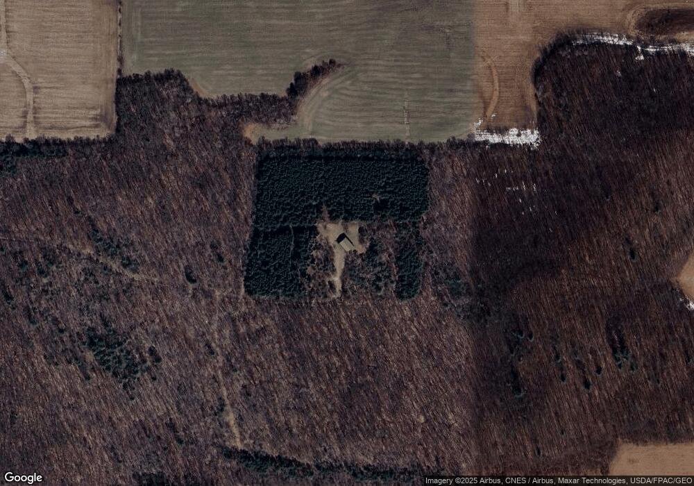
24435 10th St New Auburn, WI 54757
Estimated Value: $297,000 - $508,000
3
Beds
1
Bath
1,472
Sq Ft
$273/Sq Ft
Est. Value
About This Home
This home is located at 24435 10th St, New Auburn, WI 54757 and is currently estimated at $402,321, approximately $273 per square foot. 24435 10th St is a home located in Chippewa County with nearby schools including Roselawn Elementary School, Chetek-Weyerhaeuser Middle School, and Chetek-Weyerhaeuser High School.
Ownership History
Date
Name
Owned For
Owner Type
Purchase Details
Closed on
Nov 28, 2011
Sold by
Lindeman V Michael and Lindeman Jt
Bought by
Branville Martin P
Current Estimated Value
Purchase Details
Closed on
Aug 25, 2011
Sold by
Lindeman Michael
Bought by
The Michael V & Amanda M Lindeman Joint
Create a Home Valuation Report for This Property
The Home Valuation Report is an in-depth analysis detailing your home's value as well as a comparison with similar homes in the area
Home Values in the Area
Average Home Value in this Area
Purchase History
| Date | Buyer | Sale Price | Title Company |
|---|---|---|---|
| Branville Martin P | $225,000 | -- | |
| The Michael V & Amanda M Lindeman Joint | -- | -- |
Source: Public Records
Tax History Compared to Growth
Tax History
| Year | Tax Paid | Tax Assessment Tax Assessment Total Assessment is a certain percentage of the fair market value that is determined by local assessors to be the total taxable value of land and additions on the property. | Land | Improvement |
|---|---|---|---|---|
| 2024 | $2,872 | $285,100 | $105,600 | $179,500 |
| 2023 | $2,819 | $285,100 | $105,600 | $179,500 |
| 2022 | $2,853 | $194,800 | $77,200 | $117,600 |
| 2021 | $2,598 | $194,800 | $77,200 | $117,600 |
| 2020 | $3,037 | $194,800 | $77,200 | $117,600 |
| 2019 | $3,114 | $194,800 | $77,200 | $117,600 |
| 2018 | $3,074 | $194,800 | $77,200 | $117,600 |
| 2017 | $3,070 | $194,800 | $77,200 | $117,600 |
| 2016 | $3,063 | $194,800 | $77,200 | $117,600 |
| 2015 | $3,055 | $194,800 | $77,200 | $117,600 |
| 2014 | $3,169 | $194,400 | $77,200 | $117,200 |
Source: Public Records
Map
Nearby Homes
- 0 21 1 4 St
- 125 E North St
- 626 S East St
- 00 21 1 4 St
- 202 S East St
- XXX Ave
- 392 27th St
- E7633 1400th Ave
- 2015 3 1 2 Ave
- 7335 County Highway M
- 2038 Cedar Dr
- 141 18 1 2 St
- TBD 810th St
- 141 17 3 4 - 18 1 2 St
- 2104 5th Ave
- 159 17 3 4 - 18 1 2 St
- 2732 6 3 16 Ave
- Lot 28 25 1 2
- 0 24 3 4 St Unit 1594066
- N734 Musky Bay Rd
- 1595 250th Ave
- N14181 970th St
- 1111 Barron Dunn Ave
- 1519 1519 250th Ave
- 1217 250th Ave
- 2468 Barron Dunn Ave
- 9571 1410th Ave
- 13 24 1/2 St
- 40A 250th Ave
- 2484 Barron Dunn Ave
- 23 24 1/2 St
- E9536 1410th Ave
- 23 24 1 2 St
- 0 23 3/4 St
- 0 23 3 4 St
- 20 23 3 4 St
- 25 23 3/4 St
- 23638 20th St
- 2518 Barron Dunn Ave
- 2233 250th Ave
