24438 Florence Rd Armada, MI 48005
Estimated Value: $392,000 - $444,000
Studio
1
Bath
1,879
Sq Ft
$227/Sq Ft
Est. Value
About This Home
This home is located at 24438 Florence Rd, Armada, MI 48005 and is currently estimated at $426,611, approximately $227 per square foot. 24438 Florence Rd is a home located in Macomb County with nearby schools including Orville C. Krause Elementary School, Armada Middle School, and Armada High School.
Ownership History
Date
Name
Owned For
Owner Type
Purchase Details
Closed on
Oct 24, 2006
Sold by
Rooney Gary L and Rooney Lillian A
Bought by
Mattox Bret and Mattox Kathleen D
Current Estimated Value
Home Financials for this Owner
Home Financials are based on the most recent Mortgage that was taken out on this home.
Original Mortgage
$218,310
Outstanding Balance
$130,558
Interest Rate
6.5%
Mortgage Type
Purchase Money Mortgage
Estimated Equity
$296,053
Create a Home Valuation Report for This Property
The Home Valuation Report is an in-depth analysis detailing your home's value as well as a comparison with similar homes in the area
Home Values in the Area
Average Home Value in this Area
Purchase History
| Date | Buyer | Sale Price | Title Company |
|---|---|---|---|
| Mattox Bret | $272,900 | Great Lakes Title Of Mi |
Source: Public Records
Mortgage History
| Date | Status | Borrower | Loan Amount |
|---|---|---|---|
| Open | Mattox Bret | $218,310 |
Source: Public Records
Tax History
| Year | Tax Paid | Tax Assessment Tax Assessment Total Assessment is a certain percentage of the fair market value that is determined by local assessors to be the total taxable value of land and additions on the property. | Land | Improvement |
|---|---|---|---|---|
| 2025 | $2,705 | $211,100 | $0 | $0 |
| 2024 | $26 | $203,600 | $0 | $0 |
| 2023 | $2,493 | $176,400 | $0 | $0 |
| 2022 | $3,775 | $160,300 | $0 | $0 |
| 2021 | $3,671 | $153,100 | $0 | $0 |
| 2020 | $2,292 | $148,900 | $0 | $0 |
| 2019 | $3,370 | $140,500 | $0 | $0 |
| 2018 | $3,089 | $141,800 | $0 | $0 |
| 2017 | $3,047 | $134,800 | $41,200 | $93,600 |
| 2016 | $3,025 | $134,800 | $0 | $0 |
| 2015 | -- | $117,800 | $0 | $0 |
| 2011 | -- | $105,161 | $36,290 | $68,871 |
Source: Public Records
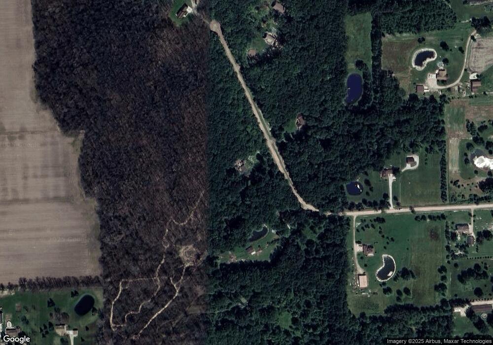
Map
Nearby Homes
- 0 Irwin Unit 20251018591
- 00 Irwin Rd
- 76845 North Ave
- 23335 McPhall Rd
- 75901 North Ave
- 26850 Irwin Rd
- 23100 Pratt Rd
- 23644 E Main St
- 00 Angling Rd #6 Rd
- 22601 W Main St
- 73615 Church St
- 73385 Floral St
- 27780 Pratt Rd
- 21830 Bordman Rd
- 0 Fox Ridge 1-A Unit 50200438
- 73763 Coon Creek Rd
- 2.0 Acres Vacant Lan Coon Creek Rd
- 21572 34 Mile Rd
- 00 33 Mile Rd
- 14150 Hough Rd
- 24500 Florence Rd
- 24376 Florence Rd
- 24562 Florence Rd
- 24421 Florence Rd
- 24314 Florence Rd
- 24624 Florence Rd
- 24603 Florence Rd
- 23923 Irwin Rd
- 24300 Irwin Rd
- 24776 Florence Rd
- 24333 Florence Rd
- 23950 Irwin Rd
- 23801 Irwin Rd
- 24252 Florence Rd
- 24255 Florence Rd
- 0 Irwin Unit 28086861
- 0 Irwin Unit 28086853
- 0 Irwin Unit 29012432
- 0 Irwin Unit 29104326
- 04 Irwin Rd
Your Personal Tour Guide
Ask me questions while you tour the home.