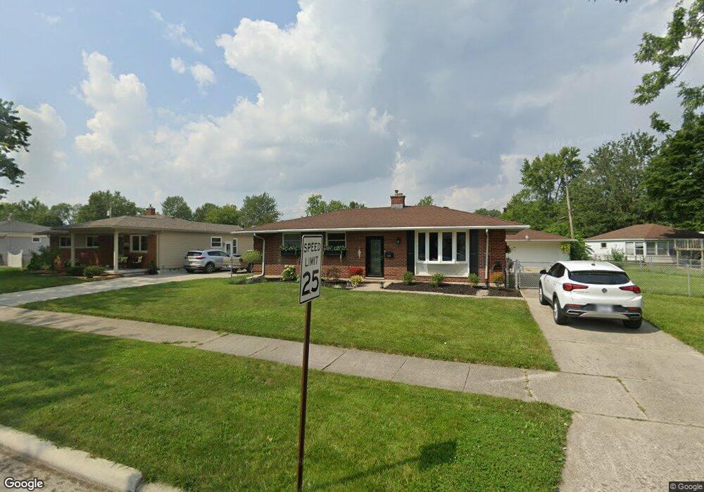
24438 Laurel St Flat Rock, MI 48134
Estimated Value: $211,000 - $241,000
Studio
--
Bath
1,088
Sq Ft
$204/Sq Ft
Est. Value
About This Home
This home is located at 24438 Laurel St, Flat Rock, MI 48134 and is currently estimated at $222,487, approximately $204 per square foot. 24438 Laurel St is a home located in Wayne County with nearby schools including Ethel C. Bobcean Elementary School, John M. Barnes Elementary School, and Thomas Simpson Middle School.
Ownership History
Date
Name
Owned For
Owner Type
Purchase Details
Closed on
Apr 7, 2023
Sold by
Baker Freieda M
Bought by
Bitner Kelsey
Current Estimated Value
Home Financials for this Owner
Home Financials are based on the most recent Mortgage that was taken out on this home.
Original Mortgage
$146,700
Outstanding Balance
$142,719
Interest Rate
6.73%
Mortgage Type
New Conventional
Estimated Equity
$79,768
Purchase Details
Closed on
Dec 15, 2010
Sold by
Wessels Marilyn A
Bought by
Wessels Marilyn A and Baker Freieda M
Create a Home Valuation Report for This Property
The Home Valuation Report is an in-depth analysis detailing your home's value as well as a comparison with similar homes in the area
Home Values in the Area
Average Home Value in this Area
Purchase History
| Date | Buyer | Sale Price | Title Company |
|---|---|---|---|
| Bitner Kelsey | $163,000 | First American Title | |
| Wessels Marilyn A | -- | None Available |
Source: Public Records
Mortgage History
| Date | Status | Borrower | Loan Amount |
|---|---|---|---|
| Open | Bitner Kelsey | $146,700 |
Source: Public Records
Tax History
| Year | Tax Paid | Tax Assessment Tax Assessment Total Assessment is a certain percentage of the fair market value that is determined by local assessors to be the total taxable value of land and additions on the property. | Land | Improvement |
|---|---|---|---|---|
| 2025 | $4,356 | $108,700 | $0 | $0 |
| 2024 | $4,229 | $98,800 | $0 | $0 |
| 2023 | $3,939 | $91,900 | $0 | $0 |
| 2022 | $3,135 | $76,000 | $0 | $0 |
| 2021 | $2,932 | $71,100 | $0 | $0 |
| 2020 | $2,892 | $71,400 | $0 | $0 |
| 2019 | $2,838 | $64,800 | $0 | $0 |
| 2018 | $2,206 | $58,700 | $0 | $0 |
| 2017 | $1,164 | $56,600 | $0 | $0 |
| 2016 | $2,672 | $53,400 | $0 | $0 |
| 2015 | $4,913 | $52,900 | $0 | $0 |
| 2013 | $4,760 | $47,600 | $0 | $0 |
| 2012 | $1,965 | $50,100 | $10,600 | $39,500 |
Source: Public Records
Map
Nearby Homes
- 23838 Meadows Ave
- 23814 Meadows Ave
- 23911 Romero
- 23897 Romero
- 23883 Romero
- 23855 Romero
- 0 Woodruff Unit 20251062264
- 23869 Romero
- 23841 Romero
- 23827 Romero
- 24664 E Huron River Dr
- 23376 Port St
- 29530 Cambridge St
- 24943 Mayfair St
- 23965 Gibraltar Rd
- 29715 Walnut St
- VL Gibraltar Rd
- 00 Gibraltar Rd
- 23452 Astrid Ln
- 31733 E Ditner Dr
- 24452 Laurel St
- 29818 Ailanthus Dr Unit Bldg-Unit
- 29818 Ailanthus Dr
- 29832 Ailanthus Dr
- 24451 Palmetto Dr
- 29806 Ailanthus Dr
- 24468 Laurel St
- 24463 Palmetto Dr
- 24437 Laurel St
- 24425 Laurel St
- 29864 Ailanthus Dr
- 24482 Laurel St
- 24475 Palmetto Dr
- 24473 Laurel St
- 29890 Ailanthus Dr
- 29772 Ailanthus Dr
- 29829 Ailanthus Dr
- 29817 Ailanthus Dr
- 29841 Ailanthus Dr
- 24505 Palmetto Dr
Your Personal Tour Guide
Ask me questions while you tour the home.