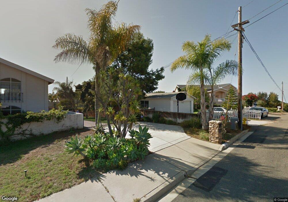
2445 Dunstan St Oceanside, CA 92054
Fire Mountain NeighborhoodEstimated Value: $1,052,927 - $1,199,000
1
Bed
1
Bath
1,117
Sq Ft
$1,011/Sq Ft
Est. Value
About This Home
This home is located at 2445 Dunstan St, Oceanside, CA 92054 and is currently estimated at $1,128,982, approximately $1,010 per square foot. 2445 Dunstan St is a home located in San Diego County with nearby schools including Palmquist Elementary School, Lincoln Middle School, and Oceanside High School.
Ownership History
Date
Name
Owned For
Owner Type
Purchase Details
Closed on
Apr 23, 2025
Sold by
Brown Robert Lee and Brown Melinda A
Bought by
Robert Lee And Melinda Brown Living Trust and Brown
Current Estimated Value
Purchase Details
Closed on
Dec 13, 2002
Sold by
Shaver Raymond J and Shaver Constance C
Bought by
Brown Robert L and Brown Melinda A
Home Financials for this Owner
Home Financials are based on the most recent Mortgage that was taken out on this home.
Original Mortgage
$167,300
Interest Rate
6.03%
Purchase Details
Closed on
Jul 12, 2000
Sold by
Living Trust Gregory John A & Melissa G Famil and Gregory John Arthur
Bought by
Shaver Raymond J and Shaver Constance C
Home Financials for this Owner
Home Financials are based on the most recent Mortgage that was taken out on this home.
Original Mortgage
$80,000
Interest Rate
8.2%
Purchase Details
Closed on
Jan 24, 1997
Sold by
Gregory John A and Gregory Melissa G
Bought by
Gregory John Arthur and Gregory Melissa Grace
Purchase Details
Closed on
Jul 8, 1994
Sold by
Giebel Thomas D and Giebel Kimberlee G
Bought by
Gregory John A and Gregory Melissa G
Purchase Details
Closed on
Feb 28, 1986
Create a Home Valuation Report for This Property
The Home Valuation Report is an in-depth analysis detailing your home's value as well as a comparison with similar homes in the area
Home Values in the Area
Average Home Value in this Area
Purchase History
| Date | Buyer | Sale Price | Title Company |
|---|---|---|---|
| Robert Lee And Melinda Brown Living Trust | -- | None Listed On Document | |
| Brown Robert L | -- | Commonwealth Land Title Co | |
| Shaver Raymond J | $300,000 | Southland Title | |
| Gregory John Arthur | -- | -- | |
| Gregory John A | $170,000 | Chicago Title Company | |
| -- | $115,000 | -- |
Source: Public Records
Mortgage History
| Date | Status | Borrower | Loan Amount |
|---|---|---|---|
| Previous Owner | Brown Robert L | $167,300 | |
| Previous Owner | Shaver Raymond J | $80,000 |
Source: Public Records
Tax History
| Year | Tax Paid | Tax Assessment Tax Assessment Total Assessment is a certain percentage of the fair market value that is determined by local assessors to be the total taxable value of land and additions on the property. | Land | Improvement |
|---|---|---|---|---|
| 2025 | $5,778 | $529,529 | $361,562 | $167,967 |
| 2024 | $5,778 | $519,147 | $354,473 | $164,674 |
| 2023 | $5,598 | $508,969 | $347,523 | $161,446 |
| 2022 | $4,913 | $444,990 | $340,709 | $104,281 |
| 2021 | $4,930 | $436,266 | $334,029 | $102,237 |
| 2020 | $4,778 | $431,793 | $330,604 | $101,189 |
| 2019 | $4,638 | $423,327 | $324,122 | $99,205 |
| 2018 | $4,587 | $415,027 | $317,767 | $97,260 |
| 2017 | $4,502 | $406,890 | $311,537 | $95,353 |
| 2016 | $8,888 | $398,913 | $305,429 | $93,484 |
| 2015 | $8,771 | $392,922 | $300,842 | $92,080 |
| 2014 | $4,062 | $385,226 | $294,949 | $90,277 |
Source: Public Records
Map
Nearby Homes
- 2311 Loker Way
- 2312 Loker Way
- 2308 Loker Way
- 2306 Loker Way
- 2309 Loker Way
- 1355 Knoll Dr
- 1305 Cornish Dr
- 1535 Molly Cir
- 2241 California St
- 2277 Dunstan St
- 1520 Downs St
- 519 Camelot Dr
- 540 S Barnwell St
- 2619 Fire Mountain Dr
- 1824 Portofino Dr
- 1916 Laurel Rd
- 1850 Downs St
- 1782 Troy Ln
- 403 Foussat Rd
- 1858 Avocado Rd
- 2480 Dunstan St
- 2451 Dunstan St
- 2439 Dunstan St
- 2500 Dunstan St
- 2446 Dunstan St
- 2435 Dunstan St
- 2504 Dunstan St
- 1517 Laurel Rd
- 2444 Dunstan St
- 1501 Laurel Rd
- 2510 Dunstan St
- 2440 Dunstan St
- 2425 Dunstan St
- 2525 Dunstan St
- 2427 Dunstan St
- 2514 Dunstan St
- 2514 Dunstan St Unit 8
- 2514 Dunstan St Unit A
- 2448 Dunstan St
- 2520 Dunstan St
Your Personal Tour Guide
Ask me questions while you tour the home.