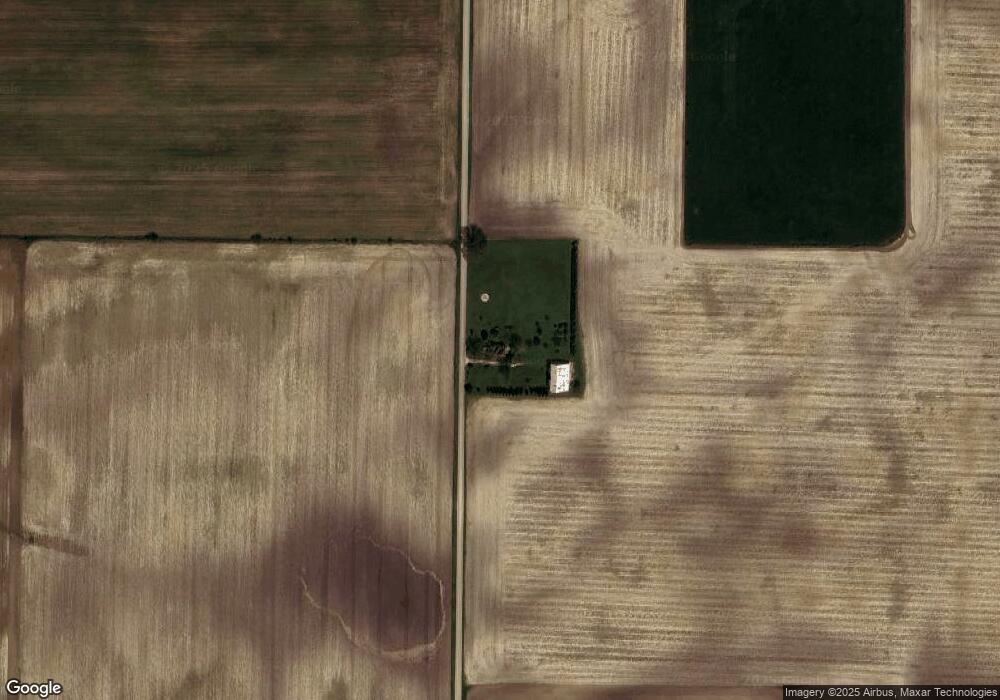
2445 N 675 W Thorntown, IN 46071
Estimated Value: $319,000 - $326,000
2
Beds
1
Bath
1,324
Sq Ft
$242/Sq Ft
Est. Value
About This Home
This home is located at 2445 N 675 W, Thorntown, IN 46071 and is currently estimated at $320,916, approximately $242 per square foot. 2445 N 675 W is a home located in Boone County with nearby schools including Western Boone Junior/Senior High School.
Ownership History
Date
Name
Owned For
Owner Type
Purchase Details
Closed on
Mar 28, 2025
Sold by
Starr Brian David
Bought by
Shepherd Rachel
Current Estimated Value
Purchase Details
Closed on
Sep 19, 2006
Sold by
Marsh Jubal S and Dolwick James B
Bought by
Romaine Ryan J and Romaine Kristen Elizabeth
Home Financials for this Owner
Home Financials are based on the most recent Mortgage that was taken out on this home.
Original Mortgage
$143,000
Interest Rate
6.59%
Mortgage Type
VA
Create a Home Valuation Report for This Property
The Home Valuation Report is an in-depth analysis detailing your home's value as well as a comparison with similar homes in the area
Home Values in the Area
Average Home Value in this Area
Purchase History
| Date | Buyer | Sale Price | Title Company |
|---|---|---|---|
| Shepherd Rachel | $310,000 | Royal Title Services | |
| Romaine Ryan J | -- | -- |
Source: Public Records
Mortgage History
| Date | Status | Borrower | Loan Amount |
|---|---|---|---|
| Previous Owner | Romaine Ryan J | $143,000 |
Source: Public Records
Tax History Compared to Growth
Tax History
| Year | Tax Paid | Tax Assessment Tax Assessment Total Assessment is a certain percentage of the fair market value that is determined by local assessors to be the total taxable value of land and additions on the property. | Land | Improvement |
|---|---|---|---|---|
| 2025 | $1,542 | $254,400 | $40,100 | $214,300 |
| 2024 | $1,542 | $251,100 | $40,100 | $211,000 |
| 2023 | $1,610 | $236,500 | $40,100 | $196,400 |
| 2022 | $1,451 | $202,000 | $40,100 | $161,900 |
| 2021 | $1,384 | $184,400 | $40,100 | $144,300 |
| 2020 | $2,321 | $172,200 | $40,100 | $132,100 |
| 2019 | $2,176 | $165,300 | $40,100 | $125,200 |
| 2018 | $2,008 | $154,700 | $40,100 | $114,600 |
| 2017 | $1,896 | $150,700 | $40,100 | $110,600 |
| 2016 | $1,811 | $148,900 | $40,100 | $108,800 |
| 2014 | $1,589 | $137,800 | $41,600 | $96,200 |
| 2013 | $1,785 | $136,000 | $41,600 | $94,400 |
Source: Public Records
Map
Nearby Homes
- 5388 W Hazelrigg Rd
- 695 N 650 W
- 690 N 600 W
- 7820 W State Road 32
- 7159 W 50 S
- 440 Indiana 75
- 6433 W State Road 47
- 6691 Indiana 47
- 4535 N Us Hwy 52
- 223 S West St
- 5779 W State Road 47
- 1321 Locust Place
- 1323 Locust Place
- 117 N Market St
- 3502 W 450 N
- 328 N Front St
- 6139 Westfall Dr
- Ironwood Plan at Northwood Haven
- Spruce Plan at Northwood Haven
- Ashton Plan at Northwood Haven