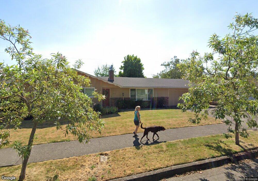
2445 Taylor St Eugene, OR 97405
Friendly NeighborhoodEstimated Value: $438,451 - $482,000
3
Beds
2
Baths
1,380
Sq Ft
$331/Sq Ft
Est. Value
About This Home
This home is located at 2445 Taylor St, Eugene, OR 97405 and is currently estimated at $456,863, approximately $331 per square foot. 2445 Taylor St is a home located in Lane County with nearby schools including Adams Elementary School, Arts And Technology Academy At Jefferson, and Churchill High School.
Ownership History
Date
Name
Owned For
Owner Type
Purchase Details
Closed on
Jul 28, 1998
Sold by
Roger Lee Terry
Bought by
Gallagher Pamela A
Current Estimated Value
Home Financials for this Owner
Home Financials are based on the most recent Mortgage that was taken out on this home.
Original Mortgage
$72,900
Interest Rate
6.9%
Create a Home Valuation Report for This Property
The Home Valuation Report is an in-depth analysis detailing your home's value as well as a comparison with similar homes in the area
Home Values in the Area
Average Home Value in this Area
Purchase History
| Date | Buyer | Sale Price | Title Company |
|---|---|---|---|
| Gallagher Pamela A | $129,900 | Western Pioneer Title Co |
Source: Public Records
Mortgage History
| Date | Status | Borrower | Loan Amount |
|---|---|---|---|
| Previous Owner | Gallagher Pamela A | $72,900 |
Source: Public Records
Tax History
| Year | Tax Paid | Tax Assessment Tax Assessment Total Assessment is a certain percentage of the fair market value that is determined by local assessors to be the total taxable value of land and additions on the property. | Land | Improvement |
|---|---|---|---|---|
| 2025 | $4,424 | $227,036 | -- | -- |
| 2024 | $4,369 | $220,424 | -- | -- |
| 2023 | $4,369 | $214,004 | $0 | $0 |
| 2022 | $4,093 | $207,771 | $0 | $0 |
| 2021 | $3,844 | $201,720 | $0 | $0 |
| 2020 | $3,857 | $195,845 | $0 | $0 |
| 2019 | $3,726 | $190,141 | $0 | $0 |
| 2018 | $3,504 | $179,226 | $0 | $0 |
| 2017 | $3,279 | $179,226 | $0 | $0 |
| 2016 | $3,142 | $174,006 | $0 | $0 |
| 2015 | $3,035 | $168,938 | $0 | $0 |
| 2014 | $2,994 | $164,017 | $0 | $0 |
Source: Public Records
Map
Nearby Homes
- 2095 Polk St
- 951 W 27th Ave
- 870 W 25th Ave
- 865 W 28th Ave
- 1890 Taylor St
- 0 Monroe St Unit 343774498
- 2673 Garfield St
- 1924 Friendly St
- 1783 Graham Dr
- 2037 Morning View Dr
- 2850 Garfield St
- 1612 Polk St
- 0 Mclean Blvd Unit 24671448
- 0 Mclean Blvd Unit 697374759
- 2096 1/2 Arthur St
- 3087 Whitbeck Blvd
- 2230 Cleveland St
- 1955 Arthur St
- 2225 W 28th Ave
- 2260 Orr Ln
Your Personal Tour Guide
Ask me questions while you tour the home.