2447 Fir St North Bend, OR 97459
Estimated Value: $401,448 - $408,000
3
Beds
2
Baths
1,458
Sq Ft
$278/Sq Ft
Est. Value
About This Home
This home is located at 2447 Fir St, North Bend, OR 97459 and is currently estimated at $404,724, approximately $277 per square foot. 2447 Fir St is a home located in Coos County with nearby schools including Hillcrest Elementary School, North Bend Middle School, and North Bend Senior High School.
Ownership History
Date
Name
Owned For
Owner Type
Purchase Details
Closed on
May 13, 2019
Sold by
Reed Paul B and Harness Reed Deborah A
Bought by
Reed Paul Brian and Harness Reed Deborah Ann
Current Estimated Value
Purchase Details
Closed on
Dec 6, 2016
Sold by
Allison Lucille
Bought by
Reed Paul B and Reed Deborah A
Home Financials for this Owner
Home Financials are based on the most recent Mortgage that was taken out on this home.
Original Mortgage
$232,425
Outstanding Balance
$187,795
Interest Rate
3.54%
Mortgage Type
VA
Estimated Equity
$216,929
Create a Home Valuation Report for This Property
The Home Valuation Report is an in-depth analysis detailing your home's value as well as a comparison with similar homes in the area
Home Values in the Area
Average Home Value in this Area
Purchase History
| Date | Buyer | Sale Price | Title Company |
|---|---|---|---|
| Reed Paul Brian | -- | None Available | |
| Reed Paul B | $225,000 | Ticor Title Company |
Source: Public Records
Mortgage History
| Date | Status | Borrower | Loan Amount |
|---|---|---|---|
| Open | Reed Paul B | $232,425 |
Source: Public Records
Tax History Compared to Growth
Tax History
| Year | Tax Paid | Tax Assessment Tax Assessment Total Assessment is a certain percentage of the fair market value that is determined by local assessors to be the total taxable value of land and additions on the property. | Land | Improvement |
|---|---|---|---|---|
| 2024 | $3,029 | $196,840 | -- | -- |
| 2023 | $2,940 | $191,110 | $0 | $0 |
| 2022 | $2,908 | $185,550 | $0 | $0 |
| 2021 | $2,979 | $180,150 | $0 | $0 |
| 2020 | $2,791 | $180,150 | $0 | $0 |
| 2019 | $2,669 | $169,820 | $0 | $0 |
| 2018 | $2,594 | $164,880 | $0 | $0 |
| 2017 | $2,522 | $160,080 | $0 | $0 |
| 2016 | $2,446 | $155,420 | $0 | $0 |
| 2015 | $2,241 | $150,900 | $0 | $0 |
| 2014 | $2,241 | $147,940 | $0 | $0 |
Source: Public Records
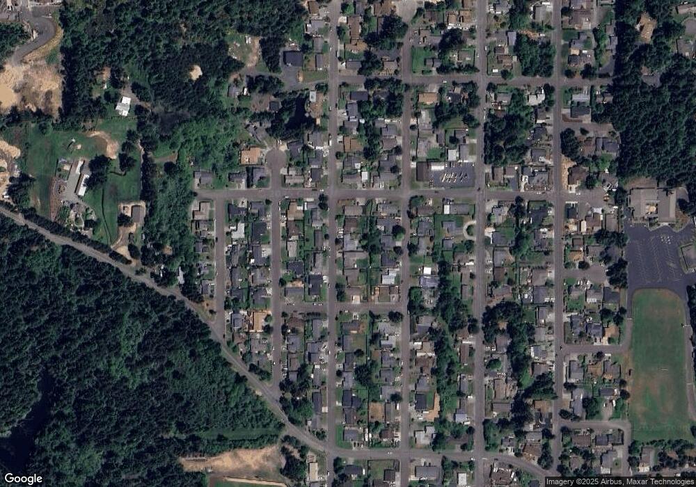
Map
Nearby Homes
- 00 Ash St
- 2125 Pine St
- 0 Fir St Unit 182520474
- 2215 Garfield St
- 3390 Lakeshore Dr
- 2270 Hayes St
- 2143 Ash St
- 2180 Hayes St
- 2200 17th St
- 2065 Hayes St
- 0 Pine St Unit 125871289
- 2355 Lombard St
- 1931 Oak St
- 2245 Broadway Ave
- 2317 Laura Ln
- 2011 Ohio Ave
- 1900 Grant St
- 2292 Clark St
- 1915 Arthur St
- 2165 Lewis St