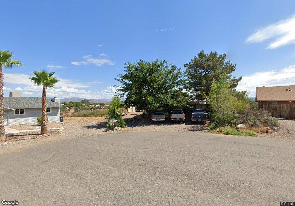
2447 S High View Cir Unit 2 Cottonwood, AZ 86326
3
Beds
--
Bath
1,579
Sq Ft
0.25
Acres
About This Home
This home is located at 2447 S High View Cir Unit 2, Cottonwood, AZ 86326. 2447 S High View Cir Unit 2 is a home located in Yavapai County with nearby schools including Dr Daniel Bright Elementary School, Cottonwood Elementary School, and Cottonwood Community School.
Ownership History
Date
Name
Owned For
Owner Type
Purchase Details
Closed on
Jan 20, 2016
Sold by
Toal Daisey
Bought by
Rivera Roberto and Landaverde Regina
Home Financials for this Owner
Home Financials are based on the most recent Mortgage that was taken out on this home.
Original Mortgage
$108,000
Interest Rate
3.81%
Mortgage Type
Seller Take Back
Purchase Details
Closed on
Feb 2, 2009
Sold by
The Bank Of New York
Bought by
Toal Daisey
Home Financials for this Owner
Home Financials are based on the most recent Mortgage that was taken out on this home.
Original Mortgage
$54,000
Interest Rate
5.17%
Mortgage Type
New Conventional
Purchase Details
Closed on
Jul 11, 2008
Sold by
Carl David
Bought by
The Bank Of New York
Purchase Details
Closed on
Feb 28, 2007
Sold by
Carl Amy
Bought by
Carl David
Home Financials for this Owner
Home Financials are based on the most recent Mortgage that was taken out on this home.
Original Mortgage
$161,405
Interest Rate
6.13%
Mortgage Type
New Conventional
Create a Home Valuation Report for This Property
The Home Valuation Report is an in-depth analysis detailing your home's value as well as a comparison with similar homes in the area
Home Values in the Area
Average Home Value in this Area
Purchase History
| Date | Buyer | Sale Price | Title Company |
|---|---|---|---|
| Rivera Roberto | $118,000 | Lawyers Title Yavapai-Coconi | |
| Toal Daisey | $72,000 | First American Title Ins | |
| The Bank Of New York | $145,149 | First American Title Ins | |
| Carl David | -- | Transnation Title Ins Co | |
| Carl David | $169,900 | Transnation Title Ins Co |
Source: Public Records
Mortgage History
| Date | Status | Borrower | Loan Amount |
|---|---|---|---|
| Previous Owner | Rivera Roberto | $108,000 | |
| Previous Owner | Toal Daisey | $54,000 | |
| Previous Owner | Carl David | $161,405 |
Source: Public Records
Tax History Compared to Growth
Tax History
| Year | Tax Paid | Tax Assessment Tax Assessment Total Assessment is a certain percentage of the fair market value that is determined by local assessors to be the total taxable value of land and additions on the property. | Land | Improvement |
|---|---|---|---|---|
| 2026 | $1,590 | $29,549 | -- | -- |
| 2024 | $1,023 | $29,173 | -- | -- |
| 2023 | $1,041 | $17,962 | $3,718 | $14,244 |
| 2022 | $1,023 | $14,834 | $3,082 | $11,752 |
| 2021 | $1,069 | $13,996 | $3,224 | $10,772 |
| 2020 | $1,049 | $0 | $0 | $0 |
| 2019 | $1,031 | $0 | $0 | $0 |
| 2018 | $989 | $0 | $0 | $0 |
| 2017 | $946 | $0 | $0 | $0 |
| 2016 | $922 | $0 | $0 | $0 |
| 2015 | $912 | $0 | $0 | $0 |
| 2014 | $825 | $0 | $0 | $0 |
Source: Public Records
Map
Nearby Homes
- 4253 E Mission Ln
- 2320 S Eastern Dr Unit 669
- 2319 S Eastern Dr Unit 670
- 2314 S Valley Dr
- 2362 S Lariat Cir
- 2306 S Eastern Dr
- 3556 Grand View Dr
- 2649 S Village Dr
- 2366 Eastern Dr
- 4359 E Butte Dr
- 4252 Canyon Trail
- 4000 E Mustang Dr
- 3501 E Hogan Cir
- 2743 Yuma Cir
- 2234 S Eastern Dr
- 3619 Western Dr
- 4249 E Vista Dr
- 3461 Tower Dr
- 2713 S Rio Verde Dr
- 3253 E Grand View Dr
- 2447 S High View Cir
- 2430 S Valley Dr Unit 2
- 2430 S Valley Dr
- 4012 E Mission Ln Unit 2
- 4012 E Mission Ln
- 4036 E Mission Ln Unit 3
- 4036 E Mission Ln
- 4036 E Mission Ln Unit 2
- 2446 S High View Cir Unit 4
- 2446 S High View Cir Unit 2
- 2446 S High View Cir Unit 1
- 2460 S High View Cir Unit 7
- 2460 S High View Cir
- 2420 S Valley Dr
- 4060 E Mission Ln
- 3980 Mission Ln
- 4041 E Mission Ln
- 0 Mission Ln