24473 Hwy 10 Cle Elum, WA 98922
Estimated Value: $1,104,000 - $1,436,000
3
Beds
3
Baths
3,022
Sq Ft
$407/Sq Ft
Est. Value
About This Home
This home is located at 24473 Hwy 10, Cle Elum, WA 98922 and is currently estimated at $1,229,328, approximately $406 per square foot. 24473 Hwy 10 is a home located in Kittitas County with nearby schools including Cle Elum Roslyn Elementary School, Walter Strom Middle School, and Cle Elum Roslyn High School.
Ownership History
Date
Name
Owned For
Owner Type
Purchase Details
Closed on
Jul 29, 2019
Sold by
Nienaber Susan E and Nienaber Michael N
Bought by
Wallace Ranch Ii Llc
Current Estimated Value
Purchase Details
Closed on
May 9, 2012
Sold by
Nienaber Susan E
Bought by
Nienaber Susan E and Nienaber Michael N
Home Financials for this Owner
Home Financials are based on the most recent Mortgage that was taken out on this home.
Original Mortgage
$207,000
Interest Rate
3.84%
Purchase Details
Closed on
Oct 27, 2008
Sold by
Wallace Ranch Ii Llc
Bought by
Nienaber Susan E
Create a Home Valuation Report for This Property
The Home Valuation Report is an in-depth analysis detailing your home's value as well as a comparison with similar homes in the area
Home Values in the Area
Average Home Value in this Area
Purchase History
| Date | Buyer | Sale Price | Title Company |
|---|---|---|---|
| Wallace Ranch Ii Llc | $675,000 | Wfg Natl Ttl Co Of Wa Llc | |
| Nienaber Susan E | -- | Amerititle | |
| Nienaber Susan E | -- | Stwt Title |
Source: Public Records
Mortgage History
| Date | Status | Borrower | Loan Amount |
|---|---|---|---|
| Previous Owner | Nienaber Susan E | $207,000 |
Source: Public Records
Tax History Compared to Growth
Tax History
| Year | Tax Paid | Tax Assessment Tax Assessment Total Assessment is a certain percentage of the fair market value that is determined by local assessors to be the total taxable value of land and additions on the property. | Land | Improvement |
|---|---|---|---|---|
| 2025 | $5,319 | $948,950 | $294,750 | $654,200 |
| 2023 | $5,319 | $845,040 | $244,750 | $600,290 |
| 2022 | $4,831 | $700,820 | $209,750 | $491,070 |
| 2021 | $4,984 | $690,590 | $199,750 | $490,840 |
| 2019 | $4,065 | $564,210 | $174,750 | $389,460 |
| 2018 | $3,468 | $438,090 | $174,750 | $263,340 |
| 2017 | $3,468 | $438,090 | $174,750 | $263,340 |
| 2016 | $3,475 | $438,090 | $174,750 | $263,340 |
| 2015 | $3,676 | $438,090 | $174,750 | $263,340 |
| 2013 | -- | $447,970 | $179,750 | $268,220 |
Source: Public Records
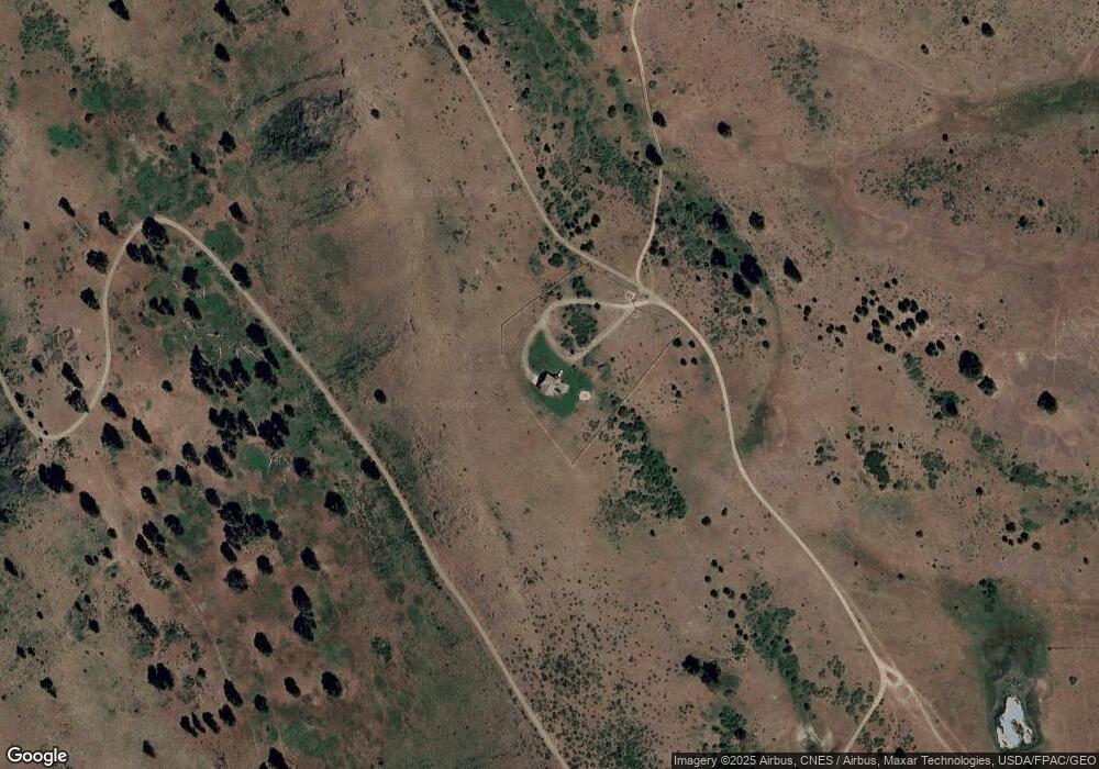
Map
Nearby Homes
- 53 Highway 10
- 54 Highway 10
- 49 Highway 10
- 56 Washington 10
- 52 Highway 10
- 55 Highway 10
- 50 Highway 10
- 51 Highway 10
- 48 Highway 10
- 621 Twin Lakes Rd
- 3653 Hart Rd
- 1600 Twin Lakes Rd
- 451 Twin Lakes Rd
- 490 Morrison Canyon Ln
- 70 Loel Place
- 351 Ridge Loop Rd
- 5 Sunlight Dr
- 1190 Sunlight Dr
- 91 Twin Lakes Rd
- 8440 Upper Peoh Point