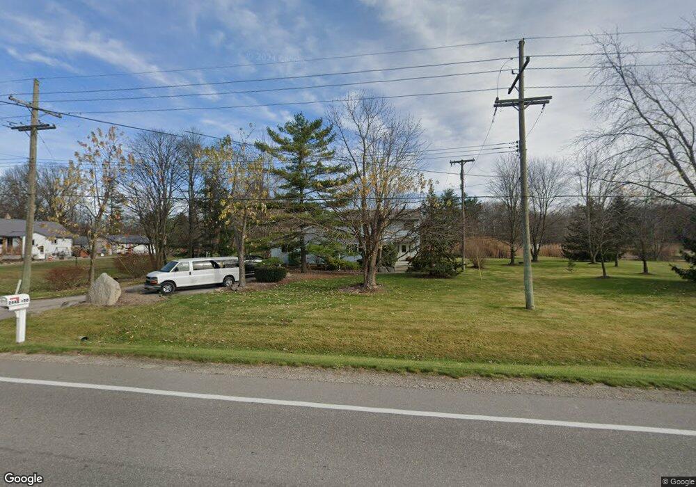
2448 Range Rd Port Huron, MI 48060
Estimated Value: $218,000 - $387,000
4
Beds
2
Baths
2,624
Sq Ft
$115/Sq Ft
Est. Value
About This Home
This home is located at 2448 Range Rd, Port Huron, MI 48060 and is currently estimated at $303,052, approximately $115 per square foot. 2448 Range Rd is a home located in St. Clair County with nearby schools including Indian Woods Elementary School, Central Middle School, and Port Huron High School.
Ownership History
Date
Name
Owned For
Owner Type
Purchase Details
Closed on
Jul 17, 2025
Sold by
Anthony F Richards Living Trust and Anthony F Richards Family Trust
Bought by
Gillett John P and Gillett Deborah L
Current Estimated Value
Purchase Details
Closed on
May 15, 2014
Sold by
Richards Anthony F and Richards Althea D
Bought by
Anthony F Richards Living Trust
Create a Home Valuation Report for This Property
The Home Valuation Report is an in-depth analysis detailing your home's value as well as a comparison with similar homes in the area
Home Values in the Area
Average Home Value in this Area
Purchase History
| Date | Buyer | Sale Price | Title Company |
|---|---|---|---|
| Gillett John P | -- | None Listed On Document | |
| Gillett John P | -- | None Listed On Document | |
| Anthony F Richards Living Trust | -- | None Available |
Source: Public Records
Tax History Compared to Growth
Tax History
| Year | Tax Paid | Tax Assessment Tax Assessment Total Assessment is a certain percentage of the fair market value that is determined by local assessors to be the total taxable value of land and additions on the property. | Land | Improvement |
|---|---|---|---|---|
| 2025 | $1,949 | $147,300 | $0 | $0 |
| 2024 | $1,891 | $152,200 | $0 | $0 |
| 2023 | $1,758 | $140,400 | $0 | $0 |
| 2022 | $4,831 | $115,300 | $0 | $0 |
| 2020 | $4,437 | $93,600 | $93,600 | $0 |
| 2019 | $4,327 | $70,200 | $0 | $0 |
| 2018 | $4,196 | $70,200 | $0 | $0 |
| 2017 | $4,137 | $65,800 | $0 | $0 |
| 2016 | $1,453 | $65,800 | $0 | $0 |
| 2015 | -- | $64,700 | $64,700 | $0 |
| 2014 | -- | $62,800 | $62,800 | $0 |
| 2013 | -- | $61,900 | $0 | $0 |
Source: Public Records
Map
Nearby Homes
- 4380 Lapeer Rd
- 0 Wall Rd Unit 50185999
- 0 Lapeer Rd Unit 50137357
- 0000 Range Rd
- 00 Howard Rd
- 4911 Castlewood Dr
- 0 Allen Rd Unit 20250008597
- 0 Allen Rd Unit 20250008612
- 4915 Griswold Rd
- 3101 Range Rd
- 3115 Spruce Dr
- 4440 Cambridge Dr
- 0000 W Water St
- 1405 Range Rd
- 4224 Atkins Rd
- 00 Range Rd
- 2940 Westland Dr
- V/L Allen
- 4425 Atkins Rd
- 3255 Harrington Rd