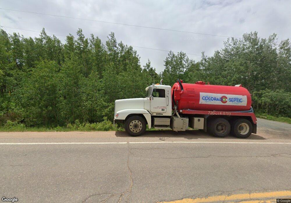
24485 Peak To Peak Hwy Nederland, CO 80466
Estimated Value: $457,000 - $625,000
2
Beds
1
Bath
1,557
Sq Ft
$360/Sq Ft
Est. Value
About This Home
This home is located at 24485 Peak To Peak Hwy, Nederland, CO 80466 and is currently estimated at $560,379, approximately $359 per square foot. 24485 Peak To Peak Hwy is a home with nearby schools including Nederland Elementary School and Nederland Middle-Senior High School.
Ownership History
Date
Name
Owned For
Owner Type
Purchase Details
Closed on
Dec 5, 2022
Sold by
Hasenbalg Rita
Bought by
Broadwell Robert
Current Estimated Value
Home Financials for this Owner
Home Financials are based on the most recent Mortgage that was taken out on this home.
Original Mortgage
$396,000
Outstanding Balance
$384,117
Interest Rate
6.95%
Mortgage Type
New Conventional
Estimated Equity
$176,262
Purchase Details
Closed on
Nov 19, 1986
Bought by
Hasenbalg Rita
Purchase Details
Closed on
Aug 16, 1966
Bought by
Hasenbalg Rita
Create a Home Valuation Report for This Property
The Home Valuation Report is an in-depth analysis detailing your home's value as well as a comparison with similar homes in the area
Home Values in the Area
Average Home Value in this Area
Purchase History
| Date | Buyer | Sale Price | Title Company |
|---|---|---|---|
| Broadwell Robert | -- | -- | |
| Hasenbalg Rita | $27,500 | -- | |
| Hasenbalg Rita | -- | -- |
Source: Public Records
Mortgage History
| Date | Status | Borrower | Loan Amount |
|---|---|---|---|
| Open | Broadwell Robert | $396,000 |
Source: Public Records
Tax History Compared to Growth
Tax History
| Year | Tax Paid | Tax Assessment Tax Assessment Total Assessment is a certain percentage of the fair market value that is determined by local assessors to be the total taxable value of land and additions on the property. | Land | Improvement |
|---|---|---|---|---|
| 2025 | $3,568 | $36,350 | $17,219 | $19,131 |
| 2024 | $3,568 | $36,350 | $17,219 | $19,131 |
| 2023 | $3,456 | $36,562 | $16,717 | $23,530 |
| 2022 | $3,103 | $31,129 | $14,929 | $16,200 |
| 2021 | $3,036 | $32,025 | $15,358 | $16,667 |
| 2020 | $2,581 | $26,892 | $13,943 | $12,949 |
| 2019 | $2,545 | $26,892 | $13,943 | $12,949 |
| 2018 | $2,297 | $23,962 | $9,792 | $14,170 |
| 2017 | $2,241 | $26,491 | $10,826 | $15,665 |
| 2016 | $2,087 | $21,643 | $9,552 | $12,091 |
| 2015 | $1,984 | $20,545 | $10,348 | $10,197 |
| 2014 | $1,984 | $20,545 | $10,348 | $10,197 |
Source: Public Records
Map
Nearby Homes
- 11650 Peak To Peak Hwy
- 24333 Peak To Peak Hwy
- 590 W Pine St
- 710 Mcmillen Way
- 550 W Breed St
- 470 W Spring St
- 105 S Caribou St
- 546 Haul Rd
- 0 Peak To Peak Hwy Unit REC2002177
- 0 Peak To Peak Hwy Unit 1040129
- 0 Peak To Peak Hwy Unit 1042718
- 135 E 2nd St
- 239 Big Springs Dr
- 252 5th St
- 0 E 5th St Unit 1034288
- 242 E 5th St
- 850 W 5th St
- 46 Pinecliff Trail
- 45 Alpine Dr
- 87 Sundance Cir
- 16510 Peak To Peak Hwy
- 14372 Peak To Peak Hwy
- 16744 Peak To Peak Hwy
- 24469 Peak To Peak Hwy
- 11982 Peak To Peak Hwy
- 11614 Peak To Peak Hwy
- 19000 Peak To Peak Hwy
- 19002 Peak To Peak Hwy
- 24473 Peak To Peak Hwy
- 10094 Peak To Peak Hwy
- 8340 Peak To Peak Hwy
- 24803 Peak To Peak Hwy
- 24410 Peak To Peak Hwy
- 23600 Peak To Peak Hwy
- 5462 72 Hwy
- 24810 Peak To Peak Hwy
- 24427 Peak To Peak Hwy
- 24742 Peak To Peak Hwy
- 626 S State Highway 119
- 24415 Peak To Peak Hwy
