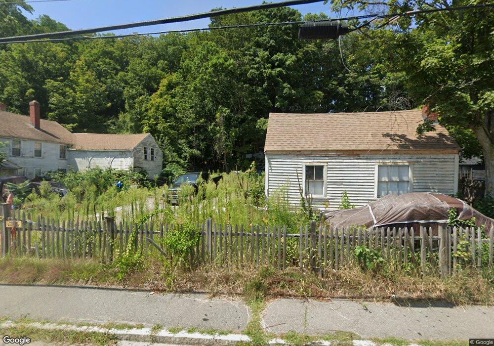
245 1/2 Main St Groveland, MA 01834
Estimated Value: $322,000 - $641,000
--
Bed
1
Bath
--
Sq Ft
7,579
Sq Ft Lot
About This Home
This home is located at 245 1/2 Main St, Groveland, MA 01834 and is currently estimated at $466,667. 245 1/2 Main St is a home located in Essex County with nearby schools including Pentucket Regional High School.
Create a Home Valuation Report for This Property
The Home Valuation Report is an in-depth analysis detailing your home's value as well as a comparison with similar homes in the area
Home Values in the Area
Average Home Value in this Area
Tax History Compared to Growth
Tax History
| Year | Tax Paid | Tax Assessment Tax Assessment Total Assessment is a certain percentage of the fair market value that is determined by local assessors to be the total taxable value of land and additions on the property. | Land | Improvement |
|---|---|---|---|---|
| 2025 | $1,797 | $141,600 | $141,600 | $0 |
| 2024 | $1,897 | $140,100 | $140,100 | $0 |
| 2023 | $1,897 | $144,500 | $144,500 | $0 |
| 2022 | $1,835 | $126,800 | $126,800 | $0 |
| 2021 | $1,650 | $112,100 | $112,100 | $0 |
| 2020 | $1,430 | $101,800 | $101,800 | $0 |
| 2019 | $1,418 | $98,800 | $98,800 | $0 |
| 2018 | $1,322 | $90,000 | $90,000 | $0 |
| 2017 | $3,014 | $205,300 | $90,000 | $115,300 |
| 2016 | $2,908 | $192,700 | $85,500 | $107,200 |
| 2015 | $2,462 | $168,500 | $66,400 | $102,100 |
| 2014 | $2,279 | $151,300 | $66,400 | $84,900 |
Source: Public Records
Map
Nearby Homes
- 47 Gardner St
- 20 Francis Ave
- 28 Coffin Ave
- 33 Groveland Commons Way
- 3 Marjorie St
- 7 Marjorie St
- 144 Old Ferry Rd Unit H
- 19 Orchard Ave Unit F
- 18-1/2 Cannon Hill Ave
- 23 Orchard Ave Unit E
- 358 Main St
- 63 Old Ferry Rd
- 106 School St
- 404 Main St
- 280 E Broadway
- 49 Douglas St
- 98 King St
- 425 Main St
- 100 King St
- 10 Carlida Rd