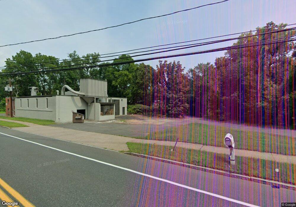
245 Adams St Manchester, CT 06042
Waddell NeighborhoodEstimated Value: $335,000 - $484,969
--
Bed
1
Bath
--
Sq Ft
1.86
Acres
About This Home
This home is located at 245 Adams St, Manchester, CT 06042 and is currently estimated at $399,656. 245 Adams St is a home located in Hartford County with nearby schools including Illing Middle School, Elisabeth M. Bennet Academy, and Manchester High School.
Ownership History
Date
Name
Owned For
Owner Type
Purchase Details
Closed on
Jun 29, 1994
Sold by
Whalen Mary F
Bought by
Bobair Tina
Current Estimated Value
Home Financials for this Owner
Home Financials are based on the most recent Mortgage that was taken out on this home.
Original Mortgage
$102,600
Interest Rate
4%
Mortgage Type
Unknown
Create a Home Valuation Report for This Property
The Home Valuation Report is an in-depth analysis detailing your home's value as well as a comparison with similar homes in the area
Home Values in the Area
Average Home Value in this Area
Purchase History
| Date | Buyer | Sale Price | Title Company |
|---|---|---|---|
| Bobair Tina | $114,000 | -- | |
| Bobair Tina | $114,000 | -- |
Source: Public Records
Mortgage History
| Date | Status | Borrower | Loan Amount |
|---|---|---|---|
| Closed | Bobair Tina | $102,600 |
Source: Public Records
Tax History Compared to Growth
Tax History
| Year | Tax Paid | Tax Assessment Tax Assessment Total Assessment is a certain percentage of the fair market value that is determined by local assessors to be the total taxable value of land and additions on the property. | Land | Improvement |
|---|---|---|---|---|
| 2025 | $11,026 | $276,900 | $91,500 | $185,400 |
| 2024 | $10,710 | $276,900 | $91,500 | $185,400 |
| 2023 | $10,301 | $276,900 | $91,500 | $185,400 |
| 2022 | $10,099 | $276,900 | $91,500 | $185,400 |
| 2021 | $9,298 | $254,600 | $91,500 | $163,100 |
| 2020 | $9,298 | $254,600 | $91,500 | $163,100 |
| 2019 | $9,298 | $254,600 | $91,500 | $163,100 |
| 2018 | $9,117 | $254,600 | $91,500 | $163,100 |
| 2017 | $8,873 | $254,600 | $91,500 | $163,100 |
| 2016 | $8,786 | $252,100 | $91,500 | $160,600 |
| 2015 | $8,743 | $252,100 | $91,500 | $160,600 |
| 2014 | $8,571 | $252,100 | $91,500 | $160,600 |
Source: Public Records
Map
Nearby Homes
- 708 Hilliard St
- 12 Butler Rd
- 14 Evergreen Rd
- 60 Deerfield Dr
- 47 Crestwood Dr
- 43 Salem Rd
- 9 Deepwood Dr
- 13 Oak Forest Dr Unit 6
- 186 Irving St
- 41 Windemere St
- 126 Falknor Dr
- 92 Westerly St
- 565 Adams St
- 113 Deepwood Dr
- 86 Westerly St
- 80 Westerly St
- 74 Westerly St
- 149 Deepwood Dr
- 21 Saint John St
- 15 Saint John St
- 205 Adams St
- 215 Adams St
- 191 Adams St
- 199 Adams St
- 185 Adams St
- 533 Hilliard St Unit A
- 533 Hilliard St Unit B
- 533 Hilliard St Unit A
- 533 Hilliard St
- 531 Hilliard St Unit B
- 531 Hilliard St Unit A
- 531 Hilliard St
- 531 Hilliard St Unit 531-B
- 531 Hilliard St Unit 531-A
- 529 Hilliard St Unit D
- 529 Hilliard St Unit C
- 529 Hilliard St Unit B
- 529 Hilliard St Unit A
- 529 Hilliard St Unit A1
- 529 Hilliard St Unit D