245 Arlis Grant Rd Glens Fork, KY 42741
Estimated Value: $138,000 - $269,000
2
Beds
1
Bath
1,084
Sq Ft
$184/Sq Ft
Est. Value
About This Home
This home is located at 245 Arlis Grant Rd, Glens Fork, KY 42741 and is currently estimated at $199,848, approximately $184 per square foot. 245 Arlis Grant Rd is a home located in Adair County with nearby schools including Colonel William Casey Elementary School, Adair County Elementary School, and Adair County Middle School.
Ownership History
Date
Name
Owned For
Owner Type
Purchase Details
Closed on
Aug 29, 2025
Sold by
Brummett Matthew and Brummett Laura
Bought by
Abbott Delbert and Abbott Amanda
Current Estimated Value
Purchase Details
Closed on
Apr 30, 2019
Sold by
West James E and West Judy
Bought by
Brummett Matthew and Brummett Laura
Purchase Details
Closed on
Jul 1, 2010
Sold by
Estate Of Lina J Grant
Bought by
West James E and West Judy
Create a Home Valuation Report for This Property
The Home Valuation Report is an in-depth analysis detailing your home's value as well as a comparison with similar homes in the area
Home Values in the Area
Average Home Value in this Area
Purchase History
| Date | Buyer | Sale Price | Title Company |
|---|---|---|---|
| Abbott Delbert | -- | None Listed On Document | |
| Brummett Matthew | $66,000 | None Available | |
| West James E | $100,000 | None Available |
Source: Public Records
Tax History Compared to Growth
Tax History
| Year | Tax Paid | Tax Assessment Tax Assessment Total Assessment is a certain percentage of the fair market value that is determined by local assessors to be the total taxable value of land and additions on the property. | Land | Improvement |
|---|---|---|---|---|
| 2025 | $206 | $18,100 | $8,100 | $10,000 |
| 2024 | $202 | $18,100 | $8,100 | $10,000 |
| 2023 | $205 | $18,100 | $8,100 | $10,000 |
| 2022 | $204 | $18,100 | $8,100 | $10,000 |
| 2021 | $206 | $18,100 | $8,100 | $10,000 |
| 2020 | $227 | $18,100 | $8,100 | $10,000 |
| 2019 | $272 | $18,100 | $8,100 | $10,000 |
| 2018 | $274 | $24,100 | $24,100 | $0 |
| 2017 | $273 | $24,100 | $24,100 | $0 |
| 2016 | $266 | $24,100 | $24,100 | $0 |
| 2015 | $224 | $24,100 | $24,100 | $0 |
| 2013 | $224 | $24,100 | $24,100 | $0 |
Source: Public Records
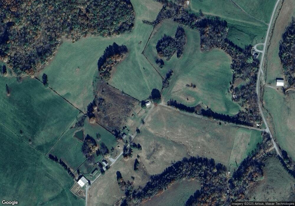
Map
Nearby Homes
- 14.59 Mary Allender Rd
- 1724 Melson Ridge Rd
- 2111 Highway 768 Rd E
- 633 T Bradshaw Rd
- 0 County Line Rd
- 59.75 Cr-1841
- 7384 N Highway 55
- 113 Montpelier Rd
- 1660 Crocus Rd
- 0 Old Sulphur Spring Rd
- 740 Jay Wheeler Rd
- 2237 Kentucky 55
- 5410 Kentucky 92
- 300 Helm Ln
- 500 Helm Ln
- 2300 Fairplay Rd
- 3424 Russell Springs Rd
- 3201 Russell Springs Rd
- 775 Conover Ln
- 110 Crocus View Rd
- 321 Arlis Grant Rd
- 387 Arlis Grant Rd
- 385 Arlis Grant Rd
- 955 Highway 900 Rd
- 675 Hwy 900 Rd
- 675 Highway 900 Rd
- 825 Powell Creek Rd
- 1242 Highway 900 Rd
- 650 Powell Creek Rd
- 480 Lay Rd
- 245 Lay Rd
- 3195 Glensfork Rd
- 3468 Glensfork Rd
- 3492 Glensfork Rd
- 3578 Glensfork Rd
- 3610 Glensfork Rd
- 3610 Glensfork Rd
- 3349 Glensfork Rd
- 2997 Glensfork Rd
- 3154 Glensfork Rd