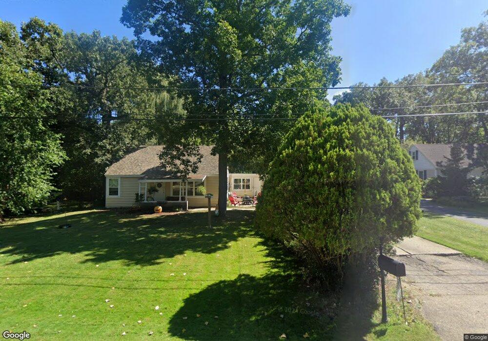
245 Bayshore Dr Lake Bluff, IL 60044
Estimated Value: $371,789 - $510,000
--
Bed
2
Baths
1,561
Sq Ft
$279/Sq Ft
Est. Value
About This Home
This home is located at 245 Bayshore Dr, Lake Bluff, IL 60044 and is currently estimated at $435,447, approximately $278 per square foot. 245 Bayshore Dr is a home located in Lake County with nearby schools including Lake Bluff Elementary School, Lake Bluff Middle School, and Lake Forest High School.
Ownership History
Date
Name
Owned For
Owner Type
Purchase Details
Closed on
Feb 25, 2013
Sold by
Federal National Mortgage Association
Bought by
Gokhale Rajeev and Gokhale Sunanda
Current Estimated Value
Purchase Details
Closed on
Mar 14, 2012
Sold by
Morris Hilma D and Bank Of America Na
Bought by
Federal National Mortgage Association
Purchase Details
Closed on
Feb 7, 2004
Sold by
Morris Ralph W
Bought by
Morris Hilma D
Purchase Details
Closed on
Oct 17, 2003
Sold by
Morris Hilma D
Bought by
Morris Ralph W
Create a Home Valuation Report for This Property
The Home Valuation Report is an in-depth analysis detailing your home's value as well as a comparison with similar homes in the area
Home Values in the Area
Average Home Value in this Area
Purchase History
| Date | Buyer | Sale Price | Title Company |
|---|---|---|---|
| Gokhale Rajeev | $90,000 | None Available | |
| Federal National Mortgage Association | -- | None Available | |
| Morris Hilma D | -- | -- | |
| Morris Ralph W | -- | -- |
Source: Public Records
Tax History Compared to Growth
Tax History
| Year | Tax Paid | Tax Assessment Tax Assessment Total Assessment is a certain percentage of the fair market value that is determined by local assessors to be the total taxable value of land and additions on the property. | Land | Improvement |
|---|---|---|---|---|
| 2024 | $6,196 | $110,030 | $42,494 | $67,536 |
| 2023 | $5,493 | $101,429 | $39,172 | $62,257 |
| 2022 | $5,493 | $91,367 | $35,286 | $56,081 |
| 2021 | $5,304 | $90,579 | $34,982 | $55,597 |
| 2020 | $5,198 | $91,079 | $35,175 | $55,904 |
| 2019 | $4,981 | $89,407 | $34,529 | $54,878 |
| 2018 | $4,695 | $86,786 | $38,235 | $48,551 |
| 2017 | $4,605 | $85,335 | $37,596 | $47,739 |
| 2016 | $4,428 | $81,225 | $35,785 | $45,440 |
| 2015 | $4,371 | $76,483 | $33,696 | $42,787 |
| 2014 | $1,468 | $29,732 | $19,828 | $9,904 |
| 2012 | $3,427 | $69,780 | $30,515 | $39,265 |
Source: Public Records
Map
Nearby Homes
- 230 Bayshore Dr
- 233 Kohl Ave
- 307 Forest View Dr
- 188 Melvin Dr
- 1061 Green Bay Rd
- 205 Bradford Ct
- 240 Shore Acres Cir
- 505 Lincoln Ave
- 120 E Scranton Ave Unit 103
- 120 E Scranton Ave Unit 201
- 120 E Scranton Ave Unit 202
- 120 E Scranton Ave Unit 102
- 120 E Scranton Ave Unit 203
- 717 Burris Ave
- 511 Rockland Rd
- 11 Shagbark Rd
- 228 E Center Ave
- 666 Maple Ave
- 223 Sylvan Rd
- 321 Newman Ct
- 29777 Bayshore Dr
- 249 Bayshore Dr
- 249 Bayshore Dr
- 305 Bayshore Dr
- 239 Bayshore Dr
- 29800 Bayshore Dr
- 29811 Bayshore Dr
- 29759 Bayshore Dr
- 218 Forest View Dr
- 29738 Glendell Ave
- 29724 Forest View Dr
- 235 Bayshore Dr
- 29748 Forest View Dr
- 226 Forest View Dr
- 29746 Glendell Ave
- 302 Bayshore Dr
- 1045 Glendell Ave
- 233 Bayshore Dr
- 29710 Forest View Dr
- 234 Bayshore Dr