245 Bentbrook Cir Unit C Cranberry Township, PA 16066
Estimated Value: $372,100 - $400,000
3
Beds
3
Baths
1,536
Sq Ft
$250/Sq Ft
Est. Value
About This Home
This home is located at 245 Bentbrook Cir Unit C, Cranberry Township, PA 16066 and is currently estimated at $384,525, approximately $250 per square foot. 245 Bentbrook Cir Unit C is a home located in Butler County with nearby schools including Evans City Middle School, Ryan Gloyer Middle School, and Seneca Valley Senior High School.
Ownership History
Date
Name
Owned For
Owner Type
Purchase Details
Closed on
Sep 25, 2021
Sold by
Chang Baojun and Wu Xu
Bought by
Sornarajaperumal Chandramohan Raju Karasangal
Current Estimated Value
Home Financials for this Owner
Home Financials are based on the most recent Mortgage that was taken out on this home.
Original Mortgage
$269,600
Outstanding Balance
$207,172
Interest Rate
2.1%
Mortgage Type
New Conventional
Estimated Equity
$177,353
Purchase Details
Closed on
Sep 24, 2015
Sold by
S & A Homes Inc
Bought by
Wu Xu
Home Financials for this Owner
Home Financials are based on the most recent Mortgage that was taken out on this home.
Original Mortgage
$215,900
Interest Rate
3.95%
Mortgage Type
New Conventional
Create a Home Valuation Report for This Property
The Home Valuation Report is an in-depth analysis detailing your home's value as well as a comparison with similar homes in the area
Home Values in the Area
Average Home Value in this Area
Purchase History
| Date | Buyer | Sale Price | Title Company |
|---|---|---|---|
| Sornarajaperumal Chandramohan Raju Karasangal | $337,000 | Everest Settlement | |
| Wu Xu | $269,900 | None Available |
Source: Public Records
Mortgage History
| Date | Status | Borrower | Loan Amount |
|---|---|---|---|
| Open | Sornarajaperumal Chandramohan Raju Karasangal | $269,600 | |
| Previous Owner | Wu Xu | $215,900 |
Source: Public Records
Tax History Compared to Growth
Tax History
| Year | Tax Paid | Tax Assessment Tax Assessment Total Assessment is a certain percentage of the fair market value that is determined by local assessors to be the total taxable value of land and additions on the property. | Land | Improvement |
|---|---|---|---|---|
| 2025 | $4,344 | $24,240 | $1,000 | $23,240 |
| 2024 | $4,215 | $24,240 | $1,000 | $23,240 |
| 2023 | $4,153 | $24,240 | $1,000 | $23,240 |
| 2022 | $4,153 | $24,240 | $1,000 | $23,240 |
| 2021 | $4,091 | $24,240 | $0 | $0 |
| 2020 | $4,091 | $24,240 | $1,000 | $23,240 |
| 2019 | $4,045 | $24,240 | $1,000 | $23,240 |
| 2018 | $4,045 | $24,240 | $1,000 | $23,240 |
| 2017 | $3,972 | $24,240 | $1,000 | $23,240 |
| 2016 | $1,090 | $24,240 | $1,000 | $23,240 |
| 2015 | $491 | $24,240 | $1,000 | $23,240 |
| 2014 | $24 | $1,200 | $1,000 | $200 |
Source: Public Records
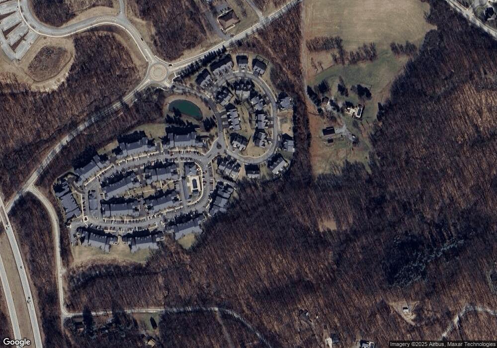
Map
Nearby Homes
- 715 Stockton Ridge
- 209 Stockton Ridge
- 1009 Stockton Ridge
- 1558 Garvin Rd
- 311 Stockton Ridge
- 1547 Garvin Rd
- 91 Celtic Ash Ct
- 207 Falcon Ln
- 119 Grindstone Place
- 205 Carry Back Ct
- 106 Moyer Hill Dr
- 139 Moyer Hill Dr
- 218 Gate Dancer Dr
- 0 Friendship Ln
- 403 Worth Ct
- 504 Day Star Ct
- 8057 Maureen Dr
- 503 Tioga Dr
- 108 Castle Brook Dr
- 203 Forest Dr
- 245 Bentbrook Cir
- 243 Bentbrook Cir
- 243 Bentbrook Cir Unit B
- 247 Bentbrook Cir
- 241 Bentbrook Cir
- 241 Bentbrook Cir Unit A
- 249 Bentbrook Cir
- 251 Bentbrook Cir
- 225 Bentbrook Cir
- 227 Bentbrook Cir
- 229 Bentbrook Cir
- 213 Bentbrook Cir
- 211 Bentbrook Cir
- 248 Bentbrook Cir
- 814 Stockton Ridge
- 808 Stockton Ridge
- 321 Bentbrook Cir
- 237 Bentbrook Cir
- 250 Bentbrook Cir
- 812 Stockton Ridge