245 Bridle Path North Andover, MA 01845
Estimated Value: $1,580,587 - $1,992,000
3
Beds
3
Baths
6,919
Sq Ft
$250/Sq Ft
Est. Value
About This Home
This home is located at 245 Bridle Path, North Andover, MA 01845 and is currently estimated at $1,731,147, approximately $250 per square foot. 245 Bridle Path is a home located in Essex County with nearby schools including Kittredge Elementary School, North Andover Middle School, and North Andover High School.
Ownership History
Date
Name
Owned For
Owner Type
Purchase Details
Closed on
Mar 29, 2017
Sold by
Grasso Denise J
Bought by
Denise J Grasso Lt
Current Estimated Value
Purchase Details
Closed on
Feb 27, 1998
Sold by
Bankamerica Natl T Ny
Bought by
Grasso Denise J
Home Financials for this Owner
Home Financials are based on the most recent Mortgage that was taken out on this home.
Original Mortgage
$327,000
Interest Rate
6.85%
Mortgage Type
Purchase Money Mortgage
Create a Home Valuation Report for This Property
The Home Valuation Report is an in-depth analysis detailing your home's value as well as a comparison with similar homes in the area
Home Values in the Area
Average Home Value in this Area
Purchase History
| Date | Buyer | Sale Price | Title Company |
|---|---|---|---|
| Denise J Grasso Lt | -- | -- | |
| Grasso Denise J | $427,000 | -- |
Source: Public Records
Mortgage History
| Date | Status | Borrower | Loan Amount |
|---|---|---|---|
| Previous Owner | Grasso Denise J | $320,000 | |
| Previous Owner | Grasso Denise J | $327,000 | |
| Previous Owner | Grasso Denise J | $200,000 | |
| Previous Owner | Grasso Denise J | $500,000 |
Source: Public Records
Tax History Compared to Growth
Tax History
| Year | Tax Paid | Tax Assessment Tax Assessment Total Assessment is a certain percentage of the fair market value that is determined by local assessors to be the total taxable value of land and additions on the property. | Land | Improvement |
|---|---|---|---|---|
| 2025 | $15,011 | $1,333,100 | $466,000 | $867,100 |
| 2024 | $13,972 | $1,259,900 | $444,200 | $815,700 |
| 2023 | $13,219 | $1,080,000 | $356,400 | $723,600 |
| 2022 | $13,381 | $989,000 | $312,800 | $676,200 |
| 2021 | $12,953 | $914,100 | $286,700 | $627,400 |
| 2020 | $12,050 | $877,000 | $280,100 | $596,900 |
| 2019 | $11,761 | $877,000 | $280,100 | $596,900 |
| 2018 | $12,743 | $877,000 | $280,100 | $596,900 |
| 2017 | $16,693 | $1,169,000 | $250,100 | $918,900 |
| 2016 | $15,362 | $1,076,500 | $254,500 | $822,000 |
| 2015 | $14,760 | $1,025,700 | $238,900 | $786,800 |
Source: Public Records
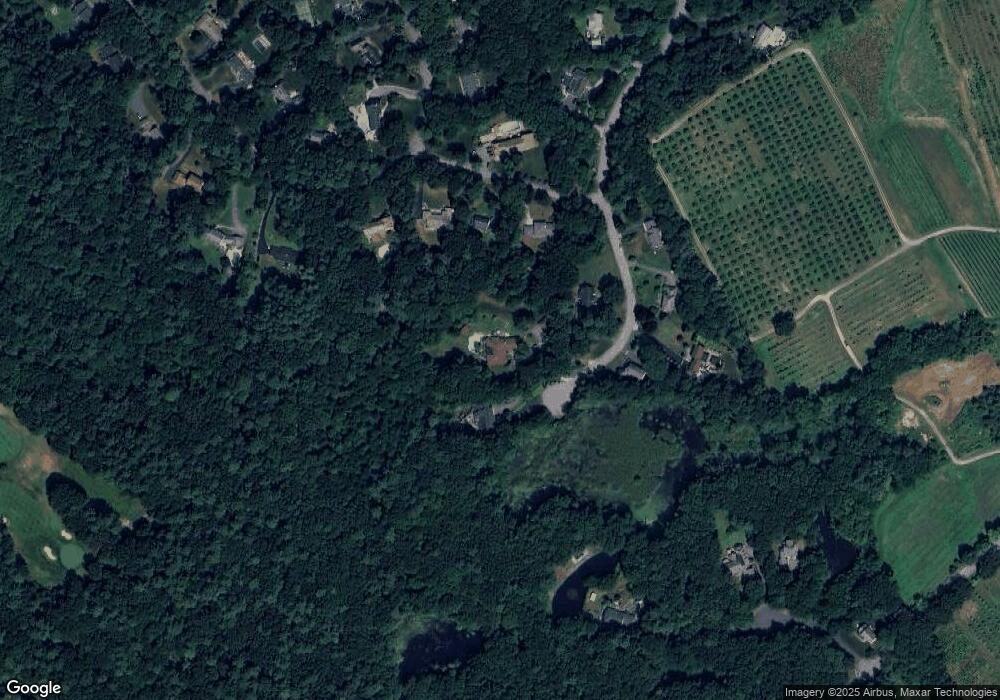
Map
Nearby Homes
- 65 Saile Way
- 141 Cortland Dr Unit 141
- 141 Cortland Dr
- 121 Cortland Dr
- 378 Salem St
- 75 Thistle Rd
- 45 Thistle Rd
- 116 Mill Pond
- 115 Mill Pond
- 112 Mill Pond
- 447 Stevens St
- 479 Stevens St
- 3 Great Pond Rd
- 98 Mill Pond
- 43 Belvedere Rd
- 64 Cochichewick Dr
- 80 Sandra Ln
- 495 Johnson St
- 16 Court St
- 590 Foster St
- 257 Bridle Path
- 22 Timber Ln
- 30 Timber Ln
- 6 Timber Ln
- 225 Bridle Path
- 191 Brentwood Cir
- 15 Timber Ln
- 250 Bridle Path
- 200 Bridle Path
- 224 Bridle Path
- 236 Bridle Path
- 178 Brentwood Cir
- 137 Brentwood Cir
- 195 Bridle Path
- 205 Brentwood Cir
- 9 Village Way
- 135 Brentwood Cir
- 200 Brentwood Cir
- 7 Village Way
- 132 Brentwood Cir