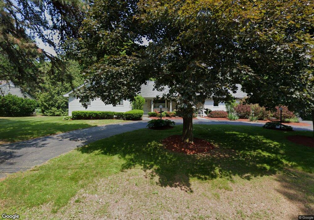
245 Captain Rd Longmeadow, MA 01106
Estimated Value: $505,000 - $605,000
3
Beds
3
Baths
1,952
Sq Ft
$288/Sq Ft
Est. Value
About This Home
This home is located at 245 Captain Rd, Longmeadow, MA 01106 and is currently estimated at $561,883, approximately $287 per square foot. 245 Captain Rd is a home located in Hampden County with nearby schools including Blueberry Hill, Glenbrook Middle School, and Longmeadow High School.
Ownership History
Date
Name
Owned For
Owner Type
Purchase Details
Closed on
Feb 5, 2021
Sold by
Feinstein Michele J
Bought by
Bassell Robert S and Bassell Patti L
Current Estimated Value
Purchase Details
Closed on
Jan 5, 2021
Sold by
Bassell Robert S and Bassell Patti L
Bought by
Feinstein Michele J
Purchase Details
Closed on
Feb 11, 2015
Sold by
Bassell Robert S
Bought by
Bassell Robert S and Bassell Patti L
Create a Home Valuation Report for This Property
The Home Valuation Report is an in-depth analysis detailing your home's value as well as a comparison with similar homes in the area
Home Values in the Area
Average Home Value in this Area
Purchase History
| Date | Buyer | Sale Price | Title Company |
|---|---|---|---|
| Bassell Robert S | -- | None Available | |
| Feinstein Michele J | -- | None Available | |
| Bassell Robert S | -- | -- |
Source: Public Records
Tax History Compared to Growth
Tax History
| Year | Tax Paid | Tax Assessment Tax Assessment Total Assessment is a certain percentage of the fair market value that is determined by local assessors to be the total taxable value of land and additions on the property. | Land | Improvement |
|---|---|---|---|---|
| 2025 | $10,634 | $503,500 | $176,200 | $327,300 |
| 2024 | $10,412 | $503,500 | $176,200 | $327,300 |
| 2023 | $10,064 | $439,100 | $160,900 | $278,200 |
| 2022 | $9,959 | $404,200 | $160,900 | $243,300 |
| 2021 | $9,567 | $386,700 | $153,100 | $233,600 |
| 2020 | $9,362 | $386,700 | $153,100 | $233,600 |
| 2019 | $8,908 | $369,800 | $153,100 | $216,700 |
| 2018 | $8,169 | $335,600 | $178,800 | $156,800 |
| 2017 | $7,913 | $335,600 | $178,800 | $156,800 |
| 2016 | $7,727 | $317,600 | $166,800 | $150,800 |
| 2015 | $7,466 | $316,100 | $165,300 | $150,800 |
Source: Public Records
Map
Nearby Homes
- 911 Williams St
- 361 Frank Smith Rd
- 111 Ashford Rd
- 64 Magnolia Cir
- 47 Academy Dr
- 217 Inverness Ln
- 202 Williamsburg Dr
- 132 Coventry Ln
- 120 Inverness Ln
- 196 Cambridge Cir
- 85 Inverness Ln
- 124 Tecumseh Dr
- 58 Shady Side Dr
- 49 Wimbleton Dr
- 67 Shady Side Dr
- 52 Smithfield Ct
- 0 Dennis Rd
- 757 Shaker Rd
- 44 Wendover Rd
- 7 Fields Dr Unit 7
- 257 Captain Rd
- 114 Caravelle Dr
- 108 Pendleton Ln
- 90 Pendleton Ln
- 246 Captain Rd
- 269 Captain Rd
- 232 Captain Rd
- 256 Captain Rd
- 117 Caravelle Dr
- 21 Memery Ln
- 111 Caravelle Dr
- 272 Captain Rd
- 281 Captain Rd
- 118 Pendleton Ln
- 68 Pendleton Ln
- 214 Captain Rd
- 89 Pendleton Ln
- 203 Captain Rd
- 85 Viscount Rd
- 79 Viscount Rd