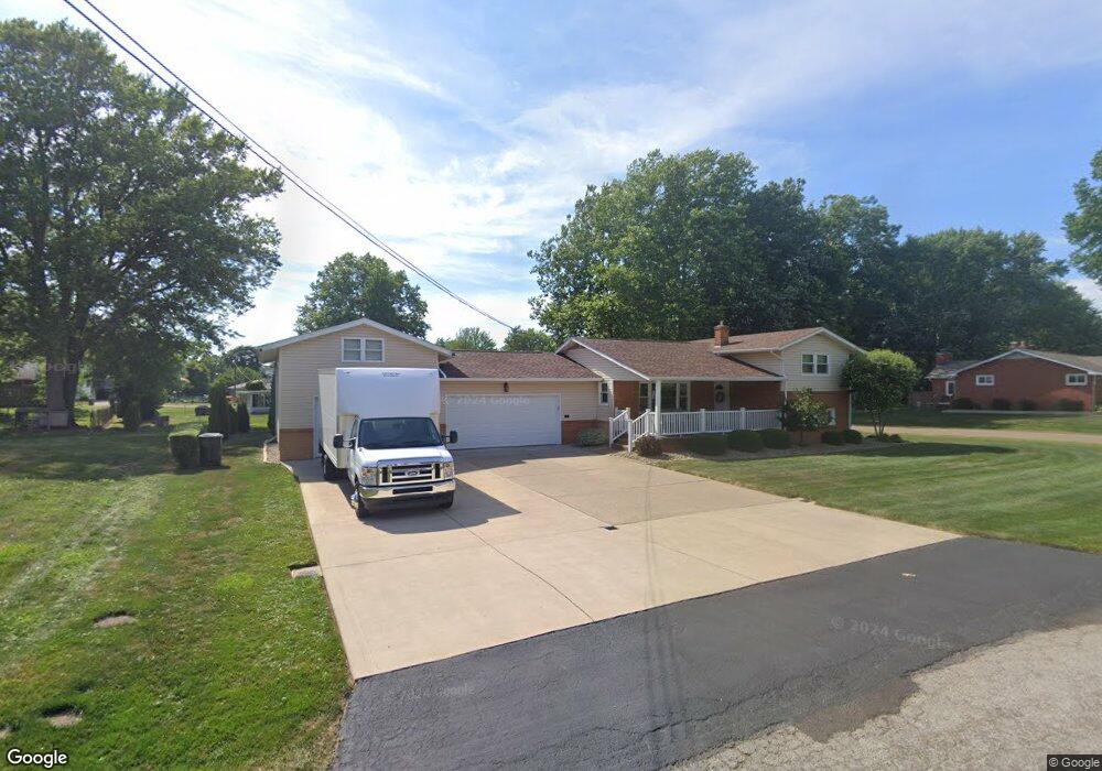
245 Cedar St N East Canton, OH 44730
Estimated Value: $149,000 - $216,000
4
Beds
2
Baths
1,076
Sq Ft
$176/Sq Ft
Est. Value
About This Home
This home is located at 245 Cedar St N, East Canton, OH 44730 and is currently estimated at $189,764, approximately $176 per square foot. 245 Cedar St N is a home located in Stark County with nearby schools including East Canton Elementary School, East Canton Middle School, and East Canton High School.
Ownership History
Date
Name
Owned For
Owner Type
Purchase Details
Closed on
Aug 31, 1994
Sold by
Wanda L Pentecost Trst
Bought by
Smith Dave E and Smith Linda
Current Estimated Value
Home Financials for this Owner
Home Financials are based on the most recent Mortgage that was taken out on this home.
Original Mortgage
$9,000
Interest Rate
8.59%
Mortgage Type
New Conventional
Create a Home Valuation Report for This Property
The Home Valuation Report is an in-depth analysis detailing your home's value as well as a comparison with similar homes in the area
Home Values in the Area
Average Home Value in this Area
Purchase History
| Date | Buyer | Sale Price | Title Company |
|---|---|---|---|
| Smith Dave E | $70,000 | -- |
Source: Public Records
Mortgage History
| Date | Status | Borrower | Loan Amount |
|---|---|---|---|
| Closed | Smith Dave E | $9,000 |
Source: Public Records
Tax History Compared to Growth
Tax History
| Year | Tax Paid | Tax Assessment Tax Assessment Total Assessment is a certain percentage of the fair market value that is determined by local assessors to be the total taxable value of land and additions on the property. | Land | Improvement |
|---|---|---|---|---|
| 2025 | -- | $68,540 | $13,690 | $54,850 |
| 2024 | -- | $68,540 | $13,690 | $54,850 |
| 2023 | $2,286 | $51,070 | $11,830 | $39,240 |
| 2022 | $1,084 | $51,070 | $11,830 | $39,240 |
| 2021 | $2,177 | $51,070 | $11,830 | $39,240 |
| 2020 | $2,130 | $45,330 | $10,570 | $34,760 |
| 2019 | $2,095 | $45,330 | $10,570 | $34,760 |
| 2018 | $2,078 | $45,330 | $10,570 | $34,760 |
| 2017 | $1,880 | $43,510 | $9,770 | $33,740 |
| 2016 | $1,890 | $43,510 | $9,770 | $33,740 |
| 2015 | $1,907 | $43,510 | $9,770 | $33,740 |
| 2014 | $1,758 | $36,550 | $8,230 | $28,320 |
| 2013 | $883 | $36,550 | $8,230 | $28,320 |
Source: Public Records
Map
Nearby Homes
- 137 Noble St W
- 223 Nassau St W
- 233 Nassau St W
- 225 - 227 Plum St N
- 711 Nassau St W
- 0 Lincoln St SE Unit 5157290
- 0 Lincoln St SE Unit 5157308
- 0 Lincoln St SE Unit 5157344
- 2260 Broadway Ave NE
- 1527 Johns Ave SE
- 2386 Broadway Ave NE
- 6416 15th St NE
- 2425 Miday Ave NE
- 4520 Georgetown Rd NE
- 6969 Georgetown St NE
- 1990 Belfort Ave
- 2802 Trump Ave SE
- 7205 Mapleton St SE
- 8225 Georgetown St
- 2923 Lincoln St E
- 231 Cedar St N
- 303 Cedar St N
- 116 3rd St W
- 244 Cedar St N
- 230 Ranowsky Ct N
- 302 Ranowsky Ct N
- 224 Cedar St N
- 215 Cedar St N
- 307 Cedar St N
- 101 3rd St E
- 214 Cedar St N
- 222 Ranowsky Ct N
- 311 Cedar St N
- 245 Wood St N
- 231 Wood St N
- 105 Noble St W
- 320 Ranowsky Ct N
- 109 Noble St W
- 101 Noble St E
- 128 3rd St W