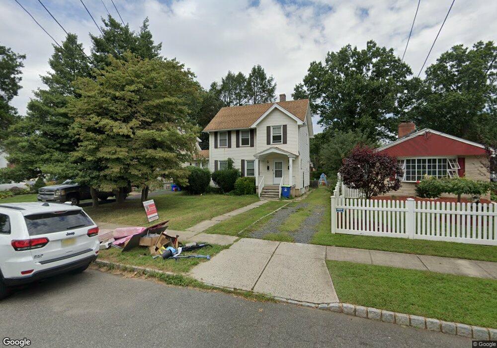
245 Chestnut St Unit 1 Bound Brook, NJ 08805
Estimated Value: $529,000 - $558,000
2
Beds
1
Bath
1,558
Sq Ft
$350/Sq Ft
Est. Value
About This Home
This home is located at 245 Chestnut St Unit 1, Bound Brook, NJ 08805 and is currently estimated at $544,873, approximately $349 per square foot. 245 Chestnut St Unit 1 is a home located in Somerset County with nearby schools including LaMonte Annex Elementary School, Lafayette Elementary School, and Bound Brook High School.
Ownership History
Date
Name
Owned For
Owner Type
Purchase Details
Closed on
Sep 5, 2018
Sold by
Cirello Family Associates Iv Llc
Bought by
Ng Matthew T
Current Estimated Value
Home Financials for this Owner
Home Financials are based on the most recent Mortgage that was taken out on this home.
Original Mortgage
$1,875,003
Outstanding Balance
$1,157,919
Interest Rate
4.6%
Mortgage Type
New Conventional
Estimated Equity
-$613,046
Purchase Details
Closed on
Jul 17, 2010
Sold by
Cirello Assunta A
Bought by
Cirello Family Associates Iv Llc
Create a Home Valuation Report for This Property
The Home Valuation Report is an in-depth analysis detailing your home's value as well as a comparison with similar homes in the area
Home Values in the Area
Average Home Value in this Area
Purchase History
We collect this data history from publicly available records. To have your information removed, we recommend requesting removal directly through your county’s website.
| Date | Buyer | Sale Price | Title Company |
|---|---|---|---|
| Ng Matthew T | $250,000 | Fidelity Natl Title Ins Co | |
| Cirello Family Associates Iv Llc | -- | None Available |
Source: Public Records
Mortgage History
We collect this data history from publicly available records. To have your information removed, we recommend requesting removal directly through your county’s website.
| Date | Status | Borrower | Loan Amount |
|---|---|---|---|
| Open | Ng Matthew T | $1,875,003 |
Source: Public Records
Tax History
| Year | Tax Paid | Tax Assessment Tax Assessment Total Assessment is a certain percentage of the fair market value that is determined by local assessors to be the total taxable value of land and additions on the property. | Land | Improvement |
|---|---|---|---|---|
| 2025 | $11,454 | $527,800 | $237,000 | $290,800 |
| 2024 | $11,454 | $504,800 | $222,000 | $282,800 |
| 2023 | $11,509 | $488,100 | $212,000 | $276,100 |
| 2022 | $11,059 | $444,500 | $202,000 | $242,500 |
| 2021 | $10,690 | $379,900 | $162,000 | $217,900 |
| 2020 | $10,554 | $341,900 | $142,000 | $199,900 |
| 2019 | $8,403 | $259,600 | $137,000 | $122,600 |
| 2018 | $8,305 | $249,100 | $127,000 | $122,100 |
| 2017 | $7,613 | $223,200 | $117,000 | $106,200 |
| 2016 | $7,744 | $228,700 | $97,000 | $131,700 |
| 2015 | $7,721 | $233,200 | $87,000 | $146,200 |
| 2014 | $8,508 | $248,200 | $102,000 | $146,200 |
Source: Public Records
Map
Nearby Homes
- 520 Winsor St
- 280 Metape Cir S
- 705 Schoolhouse Ln
- 153 W Union Ave
- 11 E Union Ave
- 28 W Union Ave
- 317 Livingston St
- 308 Church St
- 206 E Union Ave
- 3 E High St
- 561 Marion St
- 65 Shady Ln
- 553 Marion St
- 408 E Union Ave
- 732 Park Ave
- 507 E Union Ave
- 617 Vosseller Ave
- 811 Mountain Ave
- 125 Linden Ave
- 34 Church St
- 228 Chestnut St
- 224 Chestnut St
- 232 Chestnut St
- 559 Winsor St
- 240 Chestnut St
- 241 Chestnut St
- 239 Chestnut St
- 555 Winsor St
- 235 Chestnut St
- 244 Chestnut St
- 247 Chestnut St
- 245 Chestnut St
- 245 Chestnut St Unit 2
- 551 Winsor St
- 249 Chestnut St
- 249 Chestnut St Unit 2
- 620 Winsor St
- 248 Chestnut St
- 253 Chestnut St
- 549 Winsor St
Your Personal Tour Guide
Ask me questions while you tour the home.