245 Crouch Rd West Warren, MA 01092
Estimated Value: $379,000 - $423,000
1
Bed
1
Bath
1,890
Sq Ft
$213/Sq Ft
Est. Value
About This Home
This home is located at 245 Crouch Rd, West Warren, MA 01092 and is currently estimated at $402,445, approximately $212 per square foot. 245 Crouch Rd is a home with nearby schools including Quaboag Regional High School.
Ownership History
Date
Name
Owned For
Owner Type
Purchase Details
Closed on
Jun 30, 2005
Sold by
Jalbert Kathy A and Janosz Kathy A
Bought by
Nau Daniel
Current Estimated Value
Home Financials for this Owner
Home Financials are based on the most recent Mortgage that was taken out on this home.
Original Mortgage
$147,000
Outstanding Balance
$77,082
Interest Rate
5.73%
Mortgage Type
Purchase Money Mortgage
Estimated Equity
$325,363
Create a Home Valuation Report for This Property
The Home Valuation Report is an in-depth analysis detailing your home's value as well as a comparison with similar homes in the area
Home Values in the Area
Average Home Value in this Area
Purchase History
| Date | Buyer | Sale Price | Title Company |
|---|---|---|---|
| Nau Daniel | $282,500 | -- |
Source: Public Records
Mortgage History
| Date | Status | Borrower | Loan Amount |
|---|---|---|---|
| Open | Nau Daniel | $147,000 |
Source: Public Records
Tax History
| Year | Tax Paid | Tax Assessment Tax Assessment Total Assessment is a certain percentage of the fair market value that is determined by local assessors to be the total taxable value of land and additions on the property. | Land | Improvement |
|---|---|---|---|---|
| 2025 | $4,874 | $329,100 | $57,700 | $271,400 |
| 2024 | $4,960 | $329,100 | $57,700 | $271,400 |
| 2023 | $4,797 | $303,600 | $57,700 | $245,900 |
| 2022 | $4,133 | $265,600 | $49,700 | $215,900 |
| 2021 | $4,047 | $253,600 | $46,900 | $206,700 |
| 2020 | $4,093 | $238,500 | $46,900 | $191,600 |
| 2019 | $4,104 | $226,100 | $46,900 | $179,200 |
| 2018 | $3,916 | $226,100 | $46,900 | $179,200 |
| 2017 | $3,862 | $208,100 | $48,700 | $159,400 |
| 2016 | $3,954 | $199,300 | $46,400 | $152,900 |
| 2015 | $3,566 | $190,200 | $46,400 | $143,800 |
| 2014 | $3,652 | $191,200 | $46,400 | $144,800 |
Source: Public Records
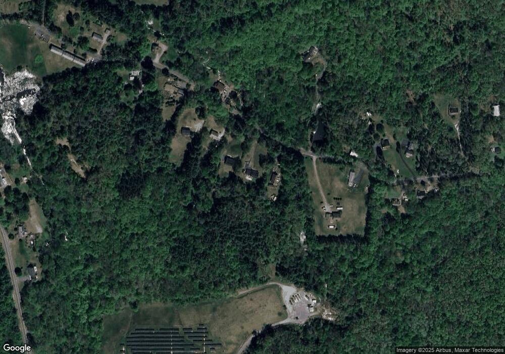
Map
Nearby Homes
- 235 Crouch Rd
- Lot 3C Crouch Rd
- 352 Reed St
- Lot 4 Reed St
- Lot 7 Reed St
- 2240 Main St
- Lot 5 Brimfield Rd
- Lot 3 Brimfield Rd
- 77 O'Neil Rd
- 95 Town Farm Rd
- 0 Town Farm Rd
- 59 High St
- 0 Brimfield Rd Unit 73426061
- 83 Comins Pond Rd
- Lot 4 Brimfield Rd
- 36 Nelson St
- 17 Otis St
- 40 Hillside Ave
- 8 Otis St
- Lot 8 Southbridge Rd
Your Personal Tour Guide
Ask me questions while you tour the home.