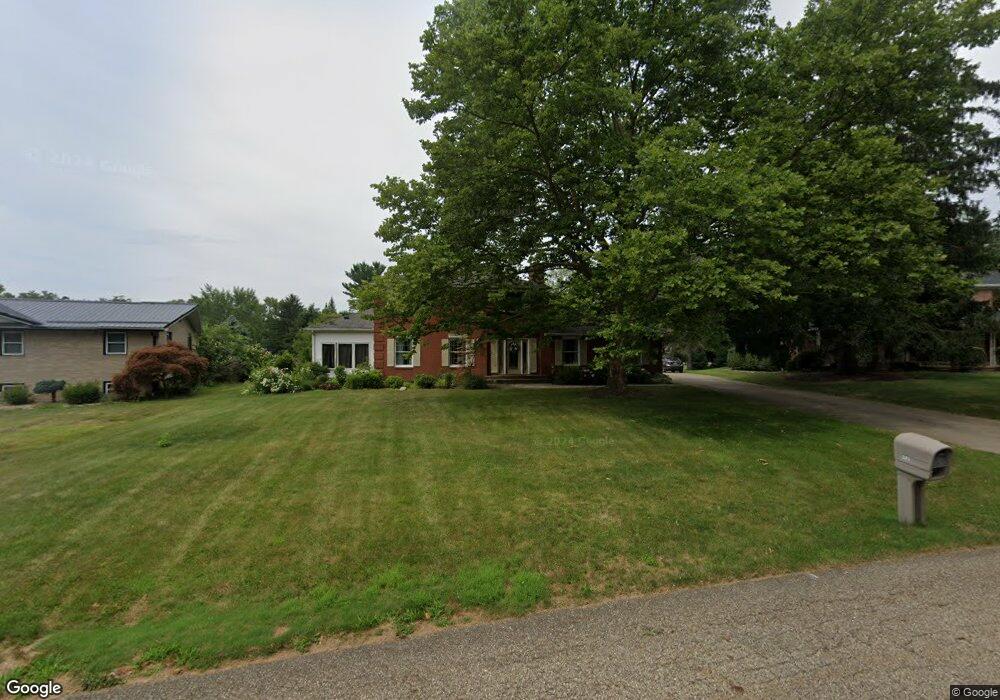
245 Dogwood St Louisville, OH 44641
Estimated Value: $291,000 - $337,000
3
Beds
2
Baths
2,432
Sq Ft
$125/Sq Ft
Est. Value
About This Home
This home is located at 245 Dogwood St, Louisville, OH 44641 and is currently estimated at $304,654, approximately $125 per square foot. 245 Dogwood St is a home located in Stark County with nearby schools including Louisville High School and St. Thomas Aquinas High School & Middle School.
Ownership History
Date
Name
Owned For
Owner Type
Purchase Details
Closed on
Jun 23, 2025
Sold by
Collins Annette L
Bought by
Rich Nathan Ray and Rich Jordan Elise
Current Estimated Value
Home Financials for this Owner
Home Financials are based on the most recent Mortgage that was taken out on this home.
Original Mortgage
$246,500
Outstanding Balance
$245,646
Interest Rate
6.76%
Mortgage Type
New Conventional
Estimated Equity
$59,008
Purchase Details
Closed on
Dec 23, 2004
Sold by
Kerzan Eric J and Kerzan Mary A
Bought by
Collins Jeffrey S and Collins Annette L
Home Financials for this Owner
Home Financials are based on the most recent Mortgage that was taken out on this home.
Original Mortgage
$166,000
Interest Rate
5.25%
Mortgage Type
Purchase Money Mortgage
Create a Home Valuation Report for This Property
The Home Valuation Report is an in-depth analysis detailing your home's value as well as a comparison with similar homes in the area
Home Values in the Area
Average Home Value in this Area
Purchase History
| Date | Buyer | Sale Price | Title Company |
|---|---|---|---|
| Rich Nathan Ray | $290,000 | None Listed On Document | |
| Collins Jeffrey S | $207,500 | -- |
Source: Public Records
Mortgage History
| Date | Status | Borrower | Loan Amount |
|---|---|---|---|
| Open | Rich Nathan Ray | $246,500 | |
| Previous Owner | Collins Jeffrey S | $166,000 |
Source: Public Records
Tax History Compared to Growth
Tax History
| Year | Tax Paid | Tax Assessment Tax Assessment Total Assessment is a certain percentage of the fair market value that is determined by local assessors to be the total taxable value of land and additions on the property. | Land | Improvement |
|---|---|---|---|---|
| 2025 | -- | $95,270 | $22,960 | $72,310 |
| 2024 | -- | $95,270 | $22,960 | $72,310 |
| 2023 | $3,382 | $78,720 | $21,670 | $57,050 |
| 2022 | $3,389 | $78,720 | $21,670 | $57,050 |
| 2021 | $3,398 | $78,720 | $21,670 | $57,050 |
| 2020 | $2,781 | $69,970 | $19,530 | $50,440 |
| 2019 | $2,792 | $68,190 | $17,750 | $50,440 |
| 2018 | $2,711 | $68,190 | $17,750 | $50,440 |
| 2017 | $2,488 | $60,380 | $15,580 | $44,800 |
| 2016 | $2,539 | $60,380 | $15,580 | $44,800 |
| 2015 | $2,546 | $60,380 | $15,580 | $44,800 |
| 2014 | $368 | $52,190 | $13,480 | $38,710 |
| 2013 | $1,188 | $52,190 | $13,480 | $38,710 |
Source: Public Records
Map
Nearby Homes
- 1715 High St
- 1812 E Broad St
- 0 Michigan Blvd
- 2015 E Main St
- 308 Superior St
- 641 S Nickelplate St
- 520 S Silver St
- 728 E Broad St
- 2110 Edmar St
- 325 Lincoln Ave
- 1170 Winding Ridge Ave
- 204 E Broad St
- 510 S Bauman Ct
- 107 E Broad St
- 910 Crosswyck Cir
- 908 Sand Lot Cir
- 428 Honeycrisp Dr NE
- 3047 Mcintosh Dr NE
- 432 Honeycrisp Dr NE
- 2962 Mcintosh Dr NE
- 235 Dogwood St
- 253 Dogwood St
- 236 S Marion Ave
- 1637 Monter Ave
- 300 S Marion Ave
- 227 Dogwood St
- 226 S Marion Ave
- 1625 Monter Ave
- 1649 Monter Ave
- 1661 Monter Ave
- 310 S Marion Ave
- 216 S Marion Ave
- 234 Dogwood St
- 1711 Monter Ave
- 1711 Monter Ave
- 320 S Marion Ave
- 1630 Cedar St
- 206 S Marion Ave
- 222 Dogwood St
- 235 S Marion Ave