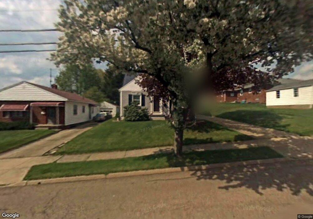
245 E Woodsdale Ave Akron, OH 44301
Firestone Park NeighborhoodEstimated Value: $149,000 - $164,000
3
Beds
2
Baths
912
Sq Ft
$173/Sq Ft
Est. Value
About This Home
This home is located at 245 E Woodsdale Ave, Akron, OH 44301 and is currently estimated at $158,010, approximately $173 per square foot. 245 E Woodsdale Ave is a home located in Summit County with nearby schools including Kenmore Garfield Community Learning Center, Main Preparatory Academy, and Eagle Elementary.
Ownership History
Date
Name
Owned For
Owner Type
Purchase Details
Closed on
Oct 22, 2013
Sold by
Tritt Vickie Lynn
Bought by
Summit Federal Credit Union
Current Estimated Value
Purchase Details
Closed on
Feb 14, 1996
Sold by
Saunders Ralph C
Bought by
Whited Vickie L
Home Financials for this Owner
Home Financials are based on the most recent Mortgage that was taken out on this home.
Original Mortgage
$47,250
Interest Rate
7.07%
Mortgage Type
New Conventional
Create a Home Valuation Report for This Property
The Home Valuation Report is an in-depth analysis detailing your home's value as well as a comparison with similar homes in the area
Home Values in the Area
Average Home Value in this Area
Purchase History
| Date | Buyer | Sale Price | Title Company |
|---|---|---|---|
| Summit Federal Credit Union | $64,800 | American Certified Title | |
| Whited Vickie L | $63,000 | -- |
Source: Public Records
Mortgage History
| Date | Status | Borrower | Loan Amount |
|---|---|---|---|
| Previous Owner | Whited Vickie L | $47,250 |
Source: Public Records
Tax History Compared to Growth
Tax History
| Year | Tax Paid | Tax Assessment Tax Assessment Total Assessment is a certain percentage of the fair market value that is determined by local assessors to be the total taxable value of land and additions on the property. | Land | Improvement |
|---|---|---|---|---|
| 2025 | $1,818 | $42,165 | $8,953 | $33,212 |
| 2024 | $1,818 | $42,165 | $8,953 | $33,212 |
| 2023 | $1,818 | $42,165 | $8,953 | $33,212 |
| 2022 | $1,580 | $31,028 | $6,489 | $24,539 |
| 2021 | $1,581 | $31,028 | $6,489 | $24,539 |
| 2020 | $1,559 | $31,030 | $6,490 | $24,540 |
| 2019 | $1,531 | $28,600 | $6,490 | $22,110 |
| 2018 | $1,511 | $28,600 | $6,490 | $22,110 |
| 2017 | $1,534 | $28,600 | $6,490 | $22,110 |
| 2016 | $1,536 | $28,600 | $6,490 | $22,110 |
| 2015 | $1,534 | $28,600 | $6,490 | $22,110 |
| 2014 | $1,523 | $28,600 | $6,490 | $22,110 |
| 2013 | $1,472 | $27,210 | $6,490 | $20,720 |
Source: Public Records
Map
Nearby Homes
- 291 Selden Ave
- 146 E Woodsdale Ave
- 315 Clinton Ave
- 739 S Firestone Blvd
- 79 Selden Ave
- 40 E Dresden Ave
- 37 Selden Ave
- 74 E Catawba Ave
- 23 Selden Ave
- 1614 Glenmount Ave
- 1637 Rockford St
- 17 W Woodsdale Ave
- 361 Mission Dr
- 249 Naomi St
- 41 W Woodsdale Ave
- 1699 Redwood Ave
- 1861 S Main St
- 55 W Ralston Ave
- 1698 Sunset Ave
- 2069 Penguin Ave
- 239 E Woodsdale Ave
- 1910 Thornapple Ave
- 255 E Woodsdale Ave
- 235 E Woodsdale Ave
- 1904 Thornapple Ave
- 231 E Woodsdale Ave
- 244 E Linwood Ave
- 240 E Woodsdale Ave
- 1926 Thornapple Ave
- 232 E Linwood Ave
- 1898 Thornapple Ave
- 232 E Woodsdale Ave
- 223 E Woodsdale Ave
- 226 E Linwood Ave
- 1913 Thornapple Ave
- 1936 Thornapple Ave
- 1905 Thornapple Ave
- 217 E Woodsdale Ave
- 224 E Woodsdale Ave
- 1901 Thornapple Ave