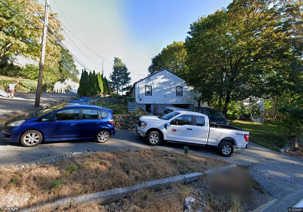
245 Forest St Arlington, MA 02474
Arlington Heights NeighborhoodEstimated Value: $745,000 - $916,000
2
Beds
1
Bath
936
Sq Ft
$868/Sq Ft
Est. Value
About This Home
This home is located at 245 Forest St, Arlington, MA 02474 and is currently estimated at $812,201, approximately $867 per square foot. 245 Forest St is a home located in Middlesex County with nearby schools including Peirce Elementary School, M. Norcross Stratton Elementary School, and Ottoson Middle School.
Ownership History
Date
Name
Owned For
Owner Type
Purchase Details
Closed on
May 3, 2002
Sold by
Pessotti William J and Pessotti Robin King
Bought by
Doherty George
Current Estimated Value
Home Financials for this Owner
Home Financials are based on the most recent Mortgage that was taken out on this home.
Original Mortgage
$226,200
Outstanding Balance
$96,858
Interest Rate
7.13%
Mortgage Type
Purchase Money Mortgage
Estimated Equity
$715,343
Purchase Details
Closed on
Aug 25, 1999
Sold by
Knauth Geoffrey S and Knauth Dewitt R
Bought by
Pessotti William J and Pessotti Robin K
Home Financials for this Owner
Home Financials are based on the most recent Mortgage that was taken out on this home.
Original Mortgage
$210,635
Interest Rate
7.53%
Mortgage Type
Purchase Money Mortgage
Purchase Details
Closed on
Sep 16, 1996
Sold by
Burner Michael G and Burner Darcy G
Bought by
Knauth Geoffrey S and Knauth Robin Jd
Home Financials for this Owner
Home Financials are based on the most recent Mortgage that was taken out on this home.
Original Mortgage
$144,000
Interest Rate
8.18%
Mortgage Type
Purchase Money Mortgage
Purchase Details
Closed on
Mar 14, 1994
Sold by
Kurth Virginia A
Bought by
Burner Michael G and Burner Darcy G
Home Financials for this Owner
Home Financials are based on the most recent Mortgage that was taken out on this home.
Original Mortgage
$137,700
Interest Rate
6.93%
Mortgage Type
Purchase Money Mortgage
Create a Home Valuation Report for This Property
The Home Valuation Report is an in-depth analysis detailing your home's value as well as a comparison with similar homes in the area
Home Values in the Area
Average Home Value in this Area
Purchase History
| Date | Buyer | Sale Price | Title Company |
|---|---|---|---|
| Doherty George | $282,750 | -- | |
| Pessotti William J | $229,000 | -- | |
| Knauth Geoffrey S | $160,000 | -- | |
| Burner Michael G | $135,000 | -- |
Source: Public Records
Mortgage History
| Date | Status | Borrower | Loan Amount |
|---|---|---|---|
| Open | Doherty George | $226,200 | |
| Previous Owner | Burner Michael G | $225,000 | |
| Previous Owner | Burner Michael G | $210,635 | |
| Previous Owner | Burner Michael G | $144,000 | |
| Previous Owner | Burner Michael G | $137,700 |
Source: Public Records
Tax History Compared to Growth
Tax History
| Year | Tax Paid | Tax Assessment Tax Assessment Total Assessment is a certain percentage of the fair market value that is determined by local assessors to be the total taxable value of land and additions on the property. | Land | Improvement |
|---|---|---|---|---|
| 2025 | $7,649 | $710,200 | $497,800 | $212,400 |
| 2024 | $7,265 | $686,000 | $491,700 | $194,300 |
| 2023 | $7,041 | $628,100 | $443,200 | $184,900 |
| 2022 | $6,734 | $589,700 | $425,000 | $164,700 |
| 2021 | $6,624 | $584,100 | $425,000 | $159,100 |
| 2020 | $6,460 | $584,100 | $425,000 | $159,100 |
| 2019 | $6,490 | $576,400 | $431,000 | $145,400 |
| 2018 | $5,644 | $465,300 | $321,800 | $143,500 |
| 2017 | $5,462 | $434,900 | $291,400 | $143,500 |
| 2016 | $5,412 | $422,800 | $279,300 | $143,500 |
| 2015 | $5,145 | $379,700 | $236,800 | $142,900 |
Source: Public Records
Map
Nearby Homes
- 281 Forest St
- 16 Ridge St
- 455 Summer St Unit 455
- 6 Pawnee Dr
- 0 Reed St
- 4 Beck Rd
- 14 Park Avenue Extension
- 1 Watermill Place Unit 309
- 1 Watermill Place Unit 308
- 51 Lowell St
- 10 Viking Rd
- 11 Lowell St Unit B
- 58 Westminster Ave Unit 58
- 1205 Massachusetts Ave
- 181 Lowell St
- 12 Longmeadow Rd
- 10 Colonial Village Dr Unit 2
- 6 Appleton Place
- 37 Pine St
- 15 Higgins St Unit 17