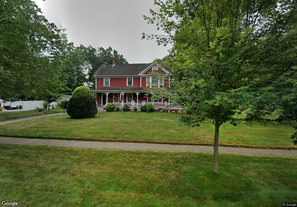
245 Maple Rd Longmeadow, MA 01106
Estimated Value: $465,000 - $497,013
4
Beds
3
Baths
2,236
Sq Ft
$214/Sq Ft
Est. Value
About This Home
This home is located at 245 Maple Rd, Longmeadow, MA 01106 and is currently estimated at $478,003, approximately $213 per square foot. 245 Maple Rd is a home located in Hampden County with nearby schools including Wolf Swamp Road School, Glenbrook Middle School, and Longmeadow High School.
Ownership History
Date
Name
Owned For
Owner Type
Purchase Details
Closed on
May 1, 1992
Sold by
Gordenstein Ronald S
Bought by
Dambrov Robert L
Current Estimated Value
Home Financials for this Owner
Home Financials are based on the most recent Mortgage that was taken out on this home.
Original Mortgage
$144,000
Interest Rate
8.96%
Mortgage Type
Purchase Money Mortgage
Purchase Details
Closed on
Dec 1, 1978
Bought by
White John N and White Louise A
Create a Home Valuation Report for This Property
The Home Valuation Report is an in-depth analysis detailing your home's value as well as a comparison with similar homes in the area
Home Values in the Area
Average Home Value in this Area
Purchase History
We collect this data history from publicly available records. To have your information removed, we recommend requesting removal directly through your county’s website.
| Date | Buyer | Sale Price | Title Company |
|---|---|---|---|
| Dambrov Robert L | $144,000 | -- | |
| White John N | $31,000 | -- |
Source: Public Records
Mortgage History
We collect this data history from publicly available records. To have your information removed, we recommend requesting removal directly through your county’s website.
| Date | Status | Borrower | Loan Amount |
|---|---|---|---|
| Closed | White John N | $42,500 | |
| Closed | White John N | $144,000 | |
| Previous Owner | White John N | $89,250 | |
| Previous Owner | White John N | $28,000 |
Source: Public Records
Tax History
| Year | Tax Paid | Tax Assessment Tax Assessment Total Assessment is a certain percentage of the fair market value that is determined by local assessors to be the total taxable value of land and additions on the property. | Land | Improvement |
|---|---|---|---|---|
| 2025 | $9,098 | $430,800 | $155,800 | $275,000 |
| 2024 | $9,519 | $460,300 | $155,800 | $304,500 |
| 2023 | $8,153 | $355,700 | $108,700 | $247,000 |
| 2022 | $7,444 | $302,100 | $124,900 | $177,200 |
| 2021 | $7,363 | $297,600 | $127,000 | $170,600 |
| 2020 | $6,827 | $282,000 | $111,400 | $170,600 |
| 2019 | $6,878 | $285,500 | $119,200 | $166,300 |
| 2018 | $6,577 | $270,200 | $131,200 | $139,000 |
| 2017 | $6,371 | $270,200 | $131,200 | $139,000 |
| 2016 | $6,450 | $265,100 | $131,200 | $133,900 |
| 2015 | $6,347 | $268,700 | $129,700 | $139,000 |
Source: Public Records
Map
Nearby Homes
- 131 Lincoln Rd
- 6 Ferncroft St
- 10 Nevins Ave
- 32 Lincoln Rd
- 51 Roosevelt Blvd
- 3 Marble Rd
- 1435 Longmeadow St
- 59 Brookside Village Unit 59
- 30 Alban Rd
- 27 Booth St
- 132 Barrington Rd
- 537 George Washington Rd
- 12 Booth Rd
- 1214 Longmeadow St
- 449 The Meadows
- 24 Prynne Ridge Rd
- 56 Liberty Ln
- 46 Liberty Ln
- 43 Liberty Ln
- 41 Liberty Ln
Your Personal Tour Guide
Ask me questions while you tour the home.