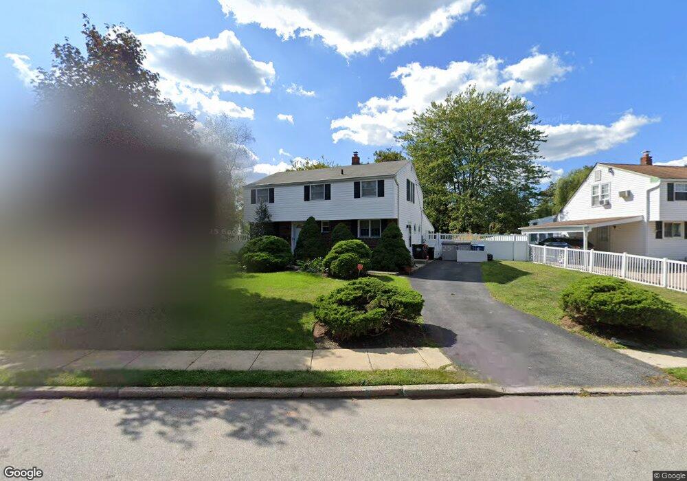
245 Meadowbrook Rd King of Prussia, PA 19406
Estimated Value: $501,000 - $571,000
3
Beds
2
Baths
2,048
Sq Ft
$259/Sq Ft
Est. Value
About This Home
This home is located at 245 Meadowbrook Rd, King of Prussia, PA 19406 and is currently estimated at $529,842, approximately $258 per square foot. 245 Meadowbrook Rd is a home located in Montgomery County with nearby schools including Candlebrook Elementary School, Upper Merion Middle School, and Upper Merion High School.
Ownership History
Date
Name
Owned For
Owner Type
Purchase Details
Closed on
Sep 25, 2008
Sold by
Gledhill Virginia E and Betts Karen J
Bought by
Harding Paul C and Harding Lisa M
Current Estimated Value
Home Financials for this Owner
Home Financials are based on the most recent Mortgage that was taken out on this home.
Original Mortgage
$296,346
Outstanding Balance
$197,064
Interest Rate
6.43%
Estimated Equity
$332,778
Create a Home Valuation Report for This Property
The Home Valuation Report is an in-depth analysis detailing your home's value as well as a comparison with similar homes in the area
Home Values in the Area
Average Home Value in this Area
Purchase History
| Date | Buyer | Sale Price | Title Company |
|---|---|---|---|
| Harding Paul C | $298,000 | None Available |
Source: Public Records
Mortgage History
| Date | Status | Borrower | Loan Amount |
|---|---|---|---|
| Open | Harding Paul C | $296,346 |
Source: Public Records
Tax History Compared to Growth
Tax History
| Year | Tax Paid | Tax Assessment Tax Assessment Total Assessment is a certain percentage of the fair market value that is determined by local assessors to be the total taxable value of land and additions on the property. | Land | Improvement |
|---|---|---|---|---|
| 2025 | $4,443 | $144,170 | $58,460 | $85,710 |
| 2024 | $4,443 | $144,170 | $58,460 | $85,710 |
| 2023 | $4,286 | $144,170 | $58,460 | $85,710 |
| 2022 | $4,102 | $144,170 | $58,460 | $85,710 |
| 2021 | $3,975 | $144,170 | $58,460 | $85,710 |
| 2020 | $3,799 | $144,170 | $58,460 | $85,710 |
| 2019 | $3,734 | $144,170 | $58,460 | $85,710 |
| 2018 | $3,734 | $144,170 | $58,460 | $85,710 |
| 2017 | $3,600 | $144,170 | $58,460 | $85,710 |
| 2016 | $3,543 | $144,170 | $58,460 | $85,710 |
| 2015 | $3,412 | $144,170 | $58,460 | $85,710 |
| 2014 | $3,412 | $144,170 | $58,460 | $85,710 |
Source: Public Records
Map
Nearby Homes
- 227 Crossfield Rd
- 300 Independence Rd
- 391 Prince Frederick St
- 612 Brewster Alley Unit 74
- 413 Brandywine Ln
- 418 Springhouse Rd
- 245 Chapel Ln Unit 80B
- 251 Chapel Ln Unit 83B
- 243 Chapel Ln Unit 79A
- 407 Chestnut Way
- 108 Anderson Rd
- 400 Chestnut Way
- 112 Ivy Ln
- 422 Bluebuff Rd
- 501 W Dekalb Pike
- 104 Tyler Rd
- 191 Gunport Rd
- 384 Aspen Way Unit 142
- 374 Aspen Way Unit HS 139
- 361 Aspen Way
- 249 Meadowbrook Rd
- 266 Prince Frederick St
- 253 Meadowbrook Rd
- 261 Prince Frederick St
- 270 Prince Frederick St
- 246 Prince Frederick St
- 255 Prince Frederick St
- 257 Meadowbrook Rd
- 261 Pleasant Valley Rd
- 274 Prince Frederick St
- 256 Strawberry Ln
- 251 Prince Frederick St
- 252 Prince Frederick St
- 271 Prince Frederick St
- 261 Meadowbrook Rd
- 255 Pleasant Valley Rd
- 265 Strawberry Ln
- 247 Prince Frederick St
- 252 Strawberry Ln
- 248 Prince Frederick St