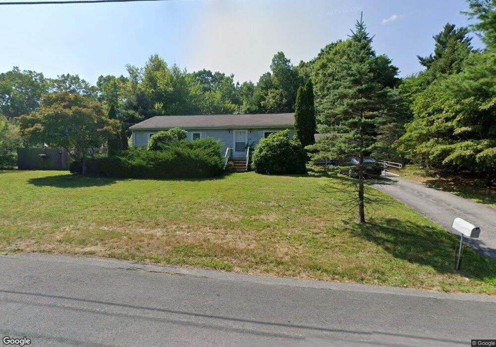
245 Mockingbird Way East Taunton, MA 02718
East Taunton NeighborhoodEstimated Value: $494,679 - $536,000
3
Beds
1
Bath
1,092
Sq Ft
$474/Sq Ft
Est. Value
About This Home
This home is located at 245 Mockingbird Way, East Taunton, MA 02718 and is currently estimated at $517,670, approximately $474 per square foot. 245 Mockingbird Way is a home located in Bristol County with nearby schools including East Taunton Elementary School, Taunton High School, and Our Lady of Lourdes School.
Ownership History
Date
Name
Owned For
Owner Type
Purchase Details
Closed on
Apr 15, 2009
Sold by
Norcutt Richard A and Norcutt Josephine
Bought by
Norcutt Alan G
Current Estimated Value
Purchase Details
Closed on
Jun 27, 1995
Sold by
Lagzdins Willy and Reynolds Nancy D
Bought by
Norcutt George and Norcutt Josephine
Home Financials for this Owner
Home Financials are based on the most recent Mortgage that was taken out on this home.
Original Mortgage
$88,000
Interest Rate
8.31%
Create a Home Valuation Report for This Property
The Home Valuation Report is an in-depth analysis detailing your home's value as well as a comparison with similar homes in the area
Home Values in the Area
Average Home Value in this Area
Purchase History
| Date | Buyer | Sale Price | Title Company |
|---|---|---|---|
| Norcutt Alan G | -- | -- | |
| Norcutt George | $115,000 | -- |
Source: Public Records
Mortgage History
| Date | Status | Borrower | Loan Amount |
|---|---|---|---|
| Previous Owner | Norcutt George | $88,000 | |
| Previous Owner | Norcutt George | $94,000 |
Source: Public Records
Tax History Compared to Growth
Tax History
| Year | Tax Paid | Tax Assessment Tax Assessment Total Assessment is a certain percentage of the fair market value that is determined by local assessors to be the total taxable value of land and additions on the property. | Land | Improvement |
|---|---|---|---|---|
| 2025 | $4,714 | $430,900 | $141,000 | $289,900 |
| 2024 | $4,441 | $396,900 | $141,000 | $255,900 |
| 2023 | $4,291 | $356,100 | $134,600 | $221,500 |
| 2022 | $4,236 | $321,400 | $122,900 | $198,500 |
| 2021 | $4,033 | $284,000 | $111,700 | $172,300 |
| 2020 | $4,024 | $270,800 | $111,700 | $159,100 |
| 2019 | $4,088 | $259,400 | $111,700 | $147,700 |
| 2018 | $3,853 | $243,600 | $112,800 | $130,800 |
| 2017 | $3,684 | $234,500 | $107,000 | $127,500 |
| 2016 | $3,553 | $226,600 | $103,800 | $122,800 |
| 2015 | $3,467 | $231,000 | $106,900 | $124,100 |
| 2014 | $3,328 | $227,800 | $106,900 | $120,900 |
Source: Public Records
Map
Nearby Homes
- 220 Erin Rd
- 81 Tania Dr
- 203 Bluejay Ln
- 28 B Staples St Unit B
- 68 Metacomet Ave
- 550 Middleboro Ave
- 96 Old Colony Ave Unit 264
- 649 Middleboro Ave
- 96 Old Colony Ave Unit 318
- 96 Old Colony Ave Unit 268
- 96 Old Colony Ave Unit 202
- 218R Hart St Unit B
- 120 South St E
- 32 Kendall Ct
- 17 Maries Way
- 210 Linsay Dr
- 31 Bruno's Way Unit A
- 3 Karena Dr Unit 8
- 170 Hart St Unit B
- 138 Pine Tree Ln
- 257 Mockingbird Way
- 231 Mockingbird Way
- 230 Erin Rd
- 35 Bluejay Ln
- 65 Bluejay Ln
- 256 Mockingbird Way
- 25 Bluejay Ln
- 271 Mockingbird Way
- 79 Bluejay Ln
- 79 Bluejay Ln Unit 1
- 71 Bluejay Ln
- 20 Kingfisher Way
- 285 Mockingbird Way
- 225 Erin Rd
- 15 Kingfisher Way
- 206 Mockingbird Way
- 30 Bluejay Ln
- 9 Bluejay Ln
- 91 Bluejay Ln
- 66 Bluejay Ln