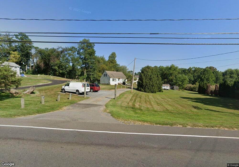
245 Monmouth Rd Wrightstown, NJ 08562
Estimated Value: $261,000 - $461,000
Studio
--
Bath
1,200
Sq Ft
$308/Sq Ft
Est. Value
About This Home
This home is located at 245 Monmouth Rd, Wrightstown, NJ 08562 and is currently estimated at $369,302, approximately $307 per square foot. 245 Monmouth Rd is a home located in Burlington County with nearby schools including C.B. Lamb Elementary School, North Hanover Township Upper Elementary School, and Northern Burlington County Regional Middle School.
Ownership History
Date
Name
Owned For
Owner Type
Purchase Details
Closed on
Aug 17, 2015
Sold by
Gibbs Elizabeth
Bought by
Taft Randolf and Norbye Mali
Current Estimated Value
Purchase Details
Closed on
May 10, 2000
Sold by
Lawson David A and Lawson Wendy L
Bought by
Worrad Joseph E and Sprague Geraldine G
Home Financials for this Owner
Home Financials are based on the most recent Mortgage that was taken out on this home.
Original Mortgage
$120,000
Interest Rate
8%
Purchase Details
Closed on
Jul 2, 1999
Sold by
Jacob Michael A and Jacob Mary Ann
Bought by
Lawson David A and Lawson Wendy L
Home Financials for this Owner
Home Financials are based on the most recent Mortgage that was taken out on this home.
Original Mortgage
$10,000
Interest Rate
7.39%
Mortgage Type
Credit Line Revolving
Purchase Details
Closed on
Jul 17, 1995
Sold by
Jacob Michael A and Jacob Mary Ann
Bought by
Jacob Michael A and Jacob Mary Ann
Create a Home Valuation Report for This Property
The Home Valuation Report is an in-depth analysis detailing your home's value as well as a comparison with similar homes in the area
Home Values in the Area
Average Home Value in this Area
Purchase History
| Date | Buyer | Sale Price | Title Company |
|---|---|---|---|
| Taft Randolf | $60,000 | North American Title Agency | |
| Worrad Joseph E | $151,000 | -- | |
| Lawson David A | $150,000 | -- | |
| Jacob Michael A | -- | -- |
Source: Public Records
Mortgage History
| Date | Status | Borrower | Loan Amount |
|---|---|---|---|
| Previous Owner | Worrad Joseph E | $120,000 | |
| Previous Owner | Lawson David A | $10,000 | |
| Previous Owner | Lawson David A | $120,000 |
Source: Public Records
Tax History
| Year | Tax Paid | Tax Assessment Tax Assessment Total Assessment is a certain percentage of the fair market value that is determined by local assessors to be the total taxable value of land and additions on the property. | Land | Improvement |
|---|---|---|---|---|
| 2025 | $4,824 | $202,200 | $50,800 | $151,400 |
| 2024 | $4,469 | $202,200 | $50,800 | $151,400 |
| 2023 | $4,469 | $202,200 | $50,800 | $151,400 |
| 2022 | $4,487 | $202,200 | $50,800 | $151,400 |
| 2021 | $4,437 | $197,300 | $50,800 | $146,500 |
| 2020 | $4,425 | $197,300 | $50,800 | $146,500 |
| 2019 | $4,388 | $197,300 | $50,800 | $146,500 |
| 2018 | $4,191 | $197,300 | $50,800 | $146,500 |
| 2017 | $4,102 | $197,300 | $50,800 | $146,500 |
| 2016 | $4,090 | $197,300 | $50,800 | $146,500 |
| 2015 | $4,169 | $201,100 | $54,600 | $146,500 |
| 2014 | $3,925 | $201,100 | $54,600 | $146,500 |
Source: Public Records
Map
Nearby Homes
- 194 Jacobstown New Egypt Rd Unit 2
- 194 Jacobstown New Egypt Rd Unit 4
- 194 Jacobstown New Egypt Rd Unit 73
- 194 Jacobstown New Egypt Rd
- 83 Chesterfield Jacobstown Rd
- 0 Larrison Rd
- 53 Meany Rd
- 301 Meany Rd
- 347 Jacobstown Cookstown Rd
- 181 Cookstown New Egypt Rd Unit B37
- XX Cookstown New Egypt Rd
- 6 Mary St
- 20 Belmont Rd
- 10 Mary St
- 114 Cookstown New Egypt Rd Unit C7
- 44 Churchill Blvd
- 54 Churchill Blvd
- 71 Jacobstown Rd
- 18 Emerald Rd
- 23 Gulfstream Rd
Your Personal Tour Guide
Ask me questions while you tour the home.