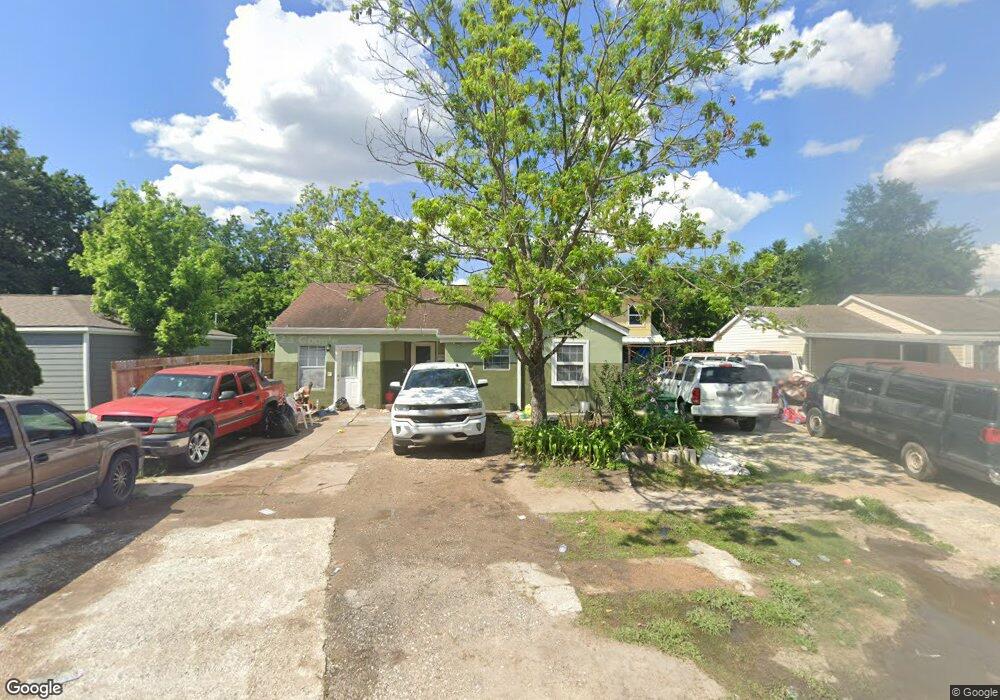
245 Norview Dr Houston, TX 77022
Independence Heights NeighborhoodEstimated Value: $273,615 - $397,000
3
Beds
2
Baths
2,760
Sq Ft
$110/Sq Ft
Est. Value
About This Home
This home is located at 245 Norview Dr, Houston, TX 77022 and is currently estimated at $304,654, approximately $110 per square foot. 245 Norview Dr is a home located in Harris County with nearby schools including Kennedy Elementary School, Williams Middle, and Booker T Washington Sr High.
Ownership History
Date
Name
Owned For
Owner Type
Purchase Details
Closed on
Mar 7, 2016
Sold by
Enriquez Maria A
Bought by
Enriquez J Teodoro and Enriquez Elvia
Current Estimated Value
Purchase Details
Closed on
Apr 20, 1995
Sold by
Hud
Bought by
Enriquez Teodoro J and Enriquez Maria A
Home Financials for this Owner
Home Financials are based on the most recent Mortgage that was taken out on this home.
Original Mortgage
$11,000
Interest Rate
13%
Purchase Details
Closed on
Dec 19, 1994
Sold by
Alliance Mtg Company
Bought by
Hud
Purchase Details
Closed on
Sep 12, 1994
Sold by
Pitre Ervin and Pitre Joyce Ann
Bought by
Alliance Mtg Company
Create a Home Valuation Report for This Property
The Home Valuation Report is an in-depth analysis detailing your home's value as well as a comparison with similar homes in the area
Home Values in the Area
Average Home Value in this Area
Purchase History
| Date | Buyer | Sale Price | Title Company |
|---|---|---|---|
| Enriquez J Teodoro | -- | None Available | |
| Enriquez Teodoro J | $22,600 | -- | |
| Hud | -- | -- | |
| Alliance Mtg Company | -- | -- |
Source: Public Records
Mortgage History
| Date | Status | Borrower | Loan Amount |
|---|---|---|---|
| Previous Owner | Enriquez Teodoro J | $11,000 |
Source: Public Records
Tax History
| Year | Tax Paid | Tax Assessment Tax Assessment Total Assessment is a certain percentage of the fair market value that is determined by local assessors to be the total taxable value of land and additions on the property. | Land | Improvement |
|---|---|---|---|---|
| 2025 | $2,975 | $221,691 | $114,368 | $107,323 |
| 2024 | $2,975 | $238,481 | $114,368 | $124,113 |
| 2023 | $2,975 | $216,583 | $91,494 | $125,089 |
| 2022 | $2,536 | $171,309 | $91,494 | $79,815 |
| 2021 | $2,440 | $159,854 | $91,494 | $68,360 |
| 2020 | $2,305 | $133,805 | $45,747 | $88,058 |
| 2019 | $2,190 | $103,539 | $45,747 | $57,792 |
| 2018 | $1,299 | $80,620 | $26,686 | $53,934 |
| 2017 | $1,808 | $80,620 | $26,686 | $53,934 |
| 2016 | $1,644 | $76,593 | $19,061 | $57,532 |
| 2015 | $931 | $63,603 | $19,061 | $44,542 |
| 2014 | $931 | $53,728 | $19,061 | $34,667 |
Source: Public Records
Map
Nearby Homes
- 241 Norview Dr
- 218 Victoria Dr
- 0 Victoria Unit 54691087
- 4510 Trevor Park Ln
- 247 E Janisch Rd
- 219 E Janisch Rd
- 121 Norview Dr
- 144 Knightsbridge Park Ln
- 115 E Thornton Rd
- 126 Knightsbridge Park Ln
- 4516 Werner St
- 148 W Whitney St
- 330 Victoria Dr
- 108 Knightsbridge Park Ln
- 316 C Walthall Dr Unit D
- 316 C Walthall Dr Unit B
- 316 C Walthall Dr Unit A
- 316 C Walthall Dr Unit E
- 316 C Walthall Dr Unit F
- 316 C Walthall Dr Unit C
Your Personal Tour Guide
Ask me questions while you tour the home.