245 Old Cart Way North Andover, MA 01845
Estimated Value: $1,148,000 - $1,208,000
4
Beds
3
Baths
3,080
Sq Ft
$383/Sq Ft
Est. Value
About This Home
This home is located at 245 Old Cart Way, North Andover, MA 01845 and is currently estimated at $1,178,340, approximately $382 per square foot. 245 Old Cart Way is a home located in Essex County with nearby schools including Franklin Elementary School, North Andover Middle School, and North Andover High School.
Ownership History
Date
Name
Owned For
Owner Type
Purchase Details
Closed on
Mar 2, 2015
Sold by
Pepoli Karen S
Bought by
Saia Karen M
Current Estimated Value
Home Financials for this Owner
Home Financials are based on the most recent Mortgage that was taken out on this home.
Original Mortgage
$417,000
Outstanding Balance
$314,840
Interest Rate
3.3%
Mortgage Type
Adjustable Rate Mortgage/ARM
Estimated Equity
$863,500
Purchase Details
Closed on
Oct 14, 1994
Sold by
Jdp Dev Co Inc
Bought by
Pepoli Christopher
Create a Home Valuation Report for This Property
The Home Valuation Report is an in-depth analysis detailing your home's value as well as a comparison with similar homes in the area
Home Values in the Area
Average Home Value in this Area
Purchase History
| Date | Buyer | Sale Price | Title Company |
|---|---|---|---|
| Saia Karen M | -- | -- | |
| Pepoli Christopher | $125,000 | -- |
Source: Public Records
Mortgage History
| Date | Status | Borrower | Loan Amount |
|---|---|---|---|
| Open | Saia Karen M | $417,000 | |
| Closed | Saia Karen M | $50,000 | |
| Previous Owner | Pepoli Christopher | $457,500 | |
| Previous Owner | Pepoli Christopher | $25,000 |
Source: Public Records
Tax History Compared to Growth
Tax History
| Year | Tax Paid | Tax Assessment Tax Assessment Total Assessment is a certain percentage of the fair market value that is determined by local assessors to be the total taxable value of land and additions on the property. | Land | Improvement |
|---|---|---|---|---|
| 2025 | $12,116 | $1,076,000 | $442,100 | $633,900 |
| 2024 | $11,559 | $1,042,300 | $420,300 | $622,000 |
| 2023 | $10,818 | $883,800 | $336,500 | $547,300 |
| 2022 | $10,323 | $763,000 | $292,900 | $470,100 |
| 2021 | $9,929 | $700,700 | $266,800 | $433,900 |
| 2020 | $9,537 | $694,100 | $260,200 | $433,900 |
| 2019 | $9,308 | $694,100 | $260,200 | $433,900 |
| 2018 | $10,085 | $694,100 | $260,200 | $433,900 |
| 2017 | $9,638 | $674,900 | $235,000 | $439,900 |
| 2016 | $9,157 | $641,700 | $239,300 | $402,400 |
| 2015 | $9,116 | $633,500 | $223,800 | $409,700 |
Source: Public Records
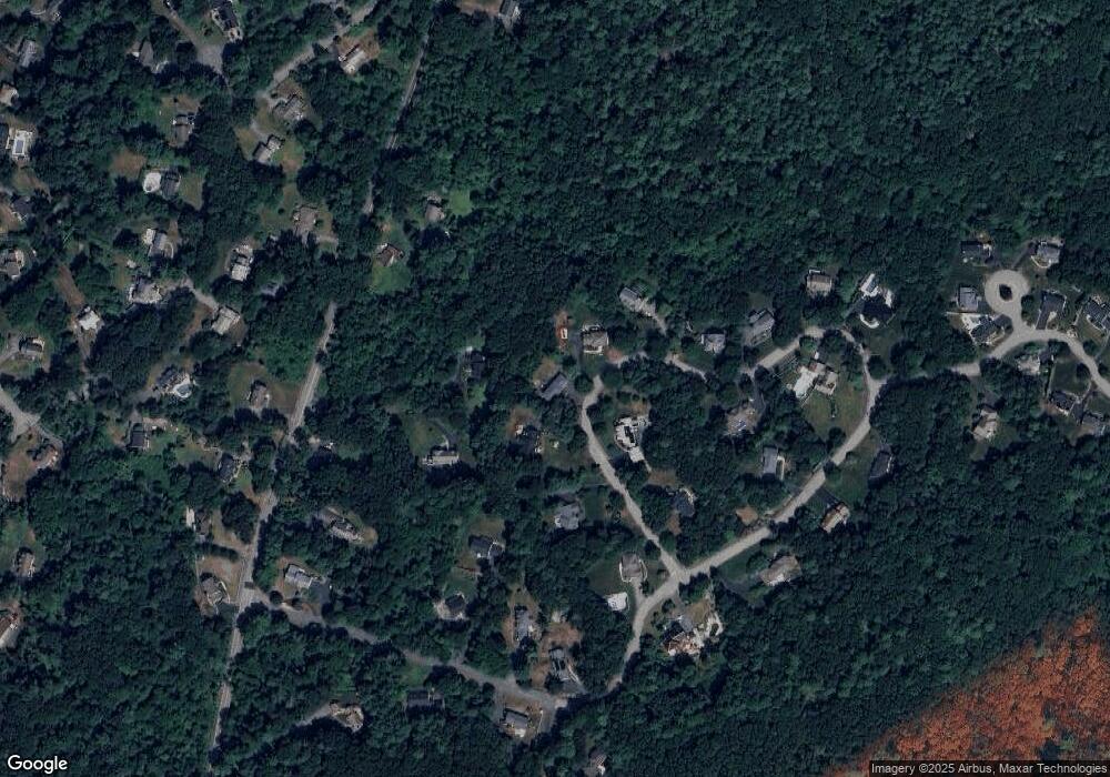
Map
Nearby Homes
- 7 Sullivan St
- 8 Athena Cir
- 80 Compass Point Unit 80
- 6 Gray Rd
- 2 Tamys Ln
- 10 Woodchuck Ln
- 133B Salem
- 12 Farnum St
- 4 Buchan Rd
- 3 Harvest Dr Unit 106
- 2 Harvest Dr Unit 209
- 2 Harvest Dr Unit 301
- 3 Harvest Dr Unit 303
- 3 Harvest Dr Unit 107
- 104 Salem St
- 331 S Main St
- 53 Salem St
- 21 Rocky Hill Rd
- 34 Rosemont Dr
- 50 Hidden Rd
- 235 Old Cart Way
- 296 Boston St
- 225 Old Cart Way
- 255 Old Cart Way
- 240 Old Cart Way
- 314 Boston St
- 274 Boston St
- 262 Boston St
- 215 Old Cart Way
- 267 Old Cart Way
- 208 Old Cart Way
- 529 Boston St
- 274 Old Cart Way
- 199 Old Cart Way
- 42 Old Cart Way
- 100 Old Cart Way
- 322 Boston St
- 138 Old Cart Way
- 336 Boston St
- 54 Old Cart Way