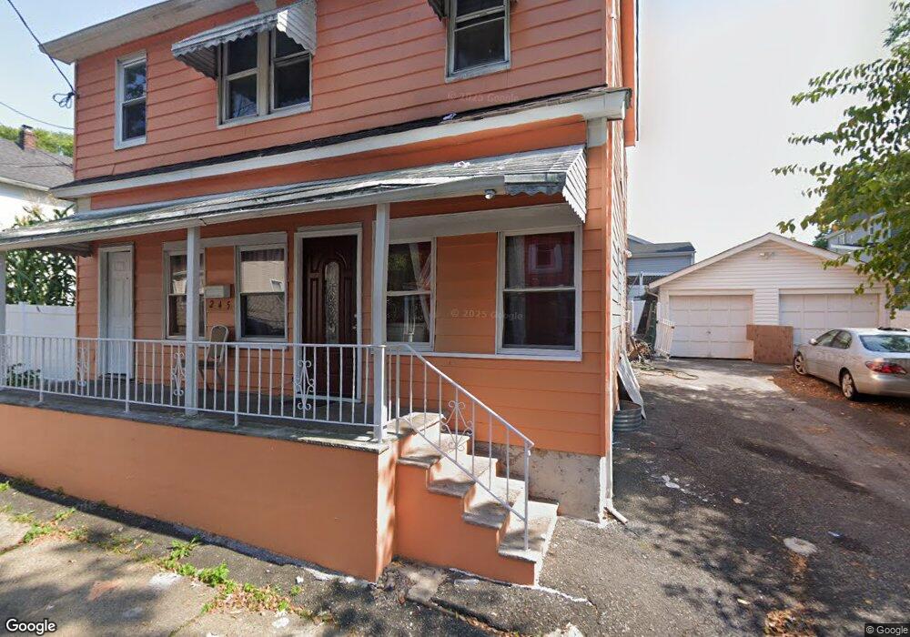
245 Oswald Place Vauxhall, NJ 07088
Estimated Value: $339,470 - $511,000
--
Bed
--
Bath
--
Sq Ft
6,752
Sq Ft Lot
About This Home
This home is located at 245 Oswald Place, Vauxhall, NJ 07088 and is currently estimated at $428,368. 245 Oswald Place is a home located in Union County with nearby schools including Union High School and St Michael Parish School.
Ownership History
Date
Name
Owned For
Owner Type
Purchase Details
Closed on
Nov 21, 2014
Sold by
Mclain Annette
Bought by
Fleurmond Majeur and Phanord Sherly
Current Estimated Value
Home Financials for this Owner
Home Financials are based on the most recent Mortgage that was taken out on this home.
Original Mortgage
$215,223
Interest Rate
4.75%
Mortgage Type
FHA
Purchase Details
Closed on
Aug 11, 1994
Sold by
Mclain Addie L
Bought by
Mclain Addie L and Hanna Daisey
Create a Home Valuation Report for This Property
The Home Valuation Report is an in-depth analysis detailing your home's value as well as a comparison with similar homes in the area
Home Values in the Area
Average Home Value in this Area
Purchase History
| Date | Buyer | Sale Price | Title Company |
|---|---|---|---|
| Fleurmond Majeur | $173,000 | Guardian Title Services Llc | |
| Mclain Addie L | -- | -- |
Source: Public Records
Mortgage History
| Date | Status | Borrower | Loan Amount |
|---|---|---|---|
| Previous Owner | Fleurmond Majeur | $215,223 |
Source: Public Records
Tax History Compared to Growth
Tax History
| Year | Tax Paid | Tax Assessment Tax Assessment Total Assessment is a certain percentage of the fair market value that is determined by local assessors to be the total taxable value of land and additions on the property. | Land | Improvement |
|---|---|---|---|---|
| 2025 | $6,862 | $30,700 | $9,900 | $20,800 |
| 2024 | $6,652 | $30,700 | $9,900 | $20,800 |
| 2023 | $6,652 | $30,700 | $9,900 | $20,800 |
| 2022 | $6,421 | $30,700 | $9,900 | $20,800 |
| 2021 | $6,266 | $30,700 | $9,900 | $20,800 |
| 2020 | $6,141 | $30,700 | $9,900 | $20,800 |
| 2019 | $6,058 | $30,700 | $9,900 | $20,800 |
| 2018 | $5,955 | $30,700 | $9,900 | $20,800 |
| 2017 | $5,867 | $30,700 | $9,900 | $20,800 |
| 2016 | $5,724 | $30,700 | $9,900 | $20,800 |
| 2015 | $5,629 | $30,700 | $9,900 | $20,800 |
| 2014 | $5,503 | $30,700 | $9,900 | $20,800 |
Source: Public Records
Map
Nearby Homes
- 297 Oswald Place
- 257 Hilton Ave
- 287 Ohio St
- 274 Indiana St
- 289 Indiana St
- 385 Stiles St
- 27 Roselyn Place
- 2140 Springfield Ave
- 28 Overlook Terrace
- 56 Broadview Ave
- 24 Manley Terrace
- 2768 Vauxhall Rd
- 2281 Copper Hill Dr
- 1707 Burnet Ave
- 14 Melman Terrace
- 16 Hart Place
- 2269 Copper Hill Dr
- 2265 Copper Hill Dr
- 2 Hart Place
- 72 Concord Ave
- 245 Oswald Place Unit 2
- 251 Oswald Place
- 236 Carnegie Place
- 244 Carnegie Place
- 254 Oswald Place
- 250 Oswald Place
- 255 Oswald Place
- 233 Oswald Place
- 260 Oswald Place
- 230 Carnegie Place
- 254 Carnegie Place
- 228 Carnegie Place Unit 2
- 228 Carnegie Place
- 226 Carnegie Place
- 262 Oswald Place
- 24 Oswald Place
- 263 Oswald Place
- 249 Carnegie Place
- 221 Hilton Ave
- 257 Carnegie Place