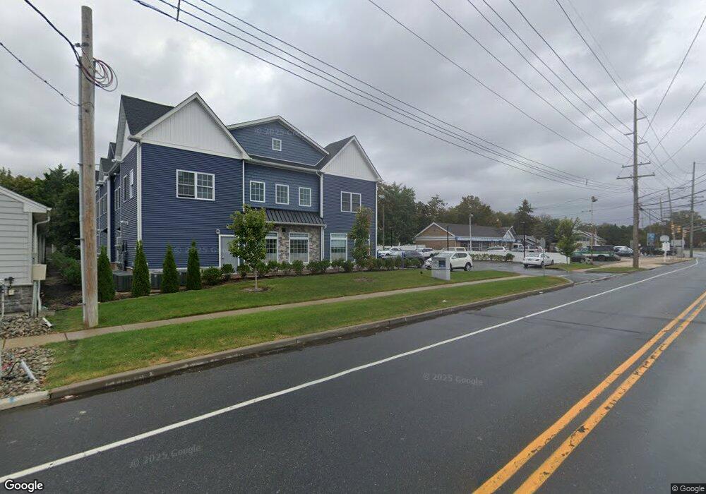
245 Parker Ave Unit C Manasquan, NJ 08736
Estimated Value: $1,581,960
--
Bed
--
Bath
16,086
Sq Ft
$98/Sq Ft
Est. Value
About This Home
This home is located at 245 Parker Ave Unit C, Manasquan, NJ 08736 and is currently priced at $1,581,960, approximately $98 per square foot. 245 Parker Ave Unit C is a home located in Monmouth County with nearby schools including Manasquan Elementary School, Manasquan High School, and The Brookside School.
Ownership History
Date
Name
Owned For
Owner Type
Purchase Details
Closed on
Sep 25, 2018
Sold by
Mulligan Lora A and Mulligan Shawn Mulligan
Bought by
245 Parker Ave Llc
Current Estimated Value
Home Financials for this Owner
Home Financials are based on the most recent Mortgage that was taken out on this home.
Interest Rate
4.65%
Purchase Details
Closed on
May 9, 2018
Sold by
Queen Robert L and Kregg Sharon Q
Bought by
Mulligan Shawn and Mulligan Lora A
Create a Home Valuation Report for This Property
The Home Valuation Report is an in-depth analysis detailing your home's value as well as a comparison with similar homes in the area
Home Values in the Area
Average Home Value in this Area
Purchase History
| Date | Buyer | Sale Price | Title Company |
|---|---|---|---|
| 245 Parker Ave Llc | $835,000 | -- | |
| Mulligan Shawn | $900,000 | Westcor Land Title Ins Co |
Source: Public Records
Mortgage History
| Date | Status | Borrower | Loan Amount |
|---|---|---|---|
| Closed | 245 Parker Ave Llc | -- |
Source: Public Records
Tax History Compared to Growth
Tax History
| Year | Tax Paid | Tax Assessment Tax Assessment Total Assessment is a certain percentage of the fair market value that is determined by local assessors to be the total taxable value of land and additions on the property. | Land | Improvement |
|---|---|---|---|---|
| 2025 | $42,437 | $2,386,800 | $580,000 | $1,806,800 |
| 2024 | $9,924 | $2,386,800 | $580,000 | $1,806,800 |
| 2023 | $9,924 | $580,000 | $580,000 | $0 |
| 2022 | $9,552 | $580,000 | $580,000 | $0 |
| 2021 | $9,552 | $580,000 | $580,000 | $0 |
| 2020 | $9,419 | $580,000 | $580,000 | $0 |
| 2019 | $9,065 | $580,000 | $580,000 | $0 |
| 2018 | $9,015 | $590,000 | $580,000 | $10,000 |
| 2017 | $12,858 | $874,700 | $580,000 | $294,700 |
| 2016 | $12,517 | $874,700 | $580,000 | $294,700 |
| 2015 | $17,500 | $1,024,000 | $633,700 | $390,300 |
| 2014 | $18,048 | $1,057,300 | $667,000 | $390,300 |
Source: Public Records
Map
Nearby Homes
- 721 Crescent Place
- 534 Washington Blvd Unit 6
- 15 Spruce Ave
- 504 Crescent Pkwy
- 20 Old Squan Rd
- 507 Crescent Pkwy
- 409 Sea Girt Ave
- 22 Woodland Ave
- 800 Fourth St
- 802 4th Ave
- 800 4th Ave
- 708 New York Blvd
- 80 Stockton Lake Blvd
- 300 Washington Blvd
- 34 Broad St Unit 306
- 219 Neptune Place
- 3 Central Ave
- 205 Stockton Blvd
- 510 Beacon Blvd
- 217 Neptune Place
- 245 Parker Ave Unit 2
- 245 Parker Ave Unit 4
- 245 Parker Ave Unit 1
- 245 Parker Ave Unit 5
- 245 Parker Ave Unit 6
- 245 Parker Ave Unit B
- 245 Parker Ave Unit A
- 139 1/2 Sea Girt Ave
- 154 Curtis Place
- 158 Curtis Place
- 139 Sea Girt Ave
- 129 Sea Girt Ave Unit A
- 129 Sea Girt Ave Unit 2
- 129 Sea Girt Ave
- 256 Parker Ave Unit 52-254
- 256 Parker Ave
- 150 Curtis Place
- 125 Sea Girt Ave
- 146 Curtis Place
- 140 Curtis Place