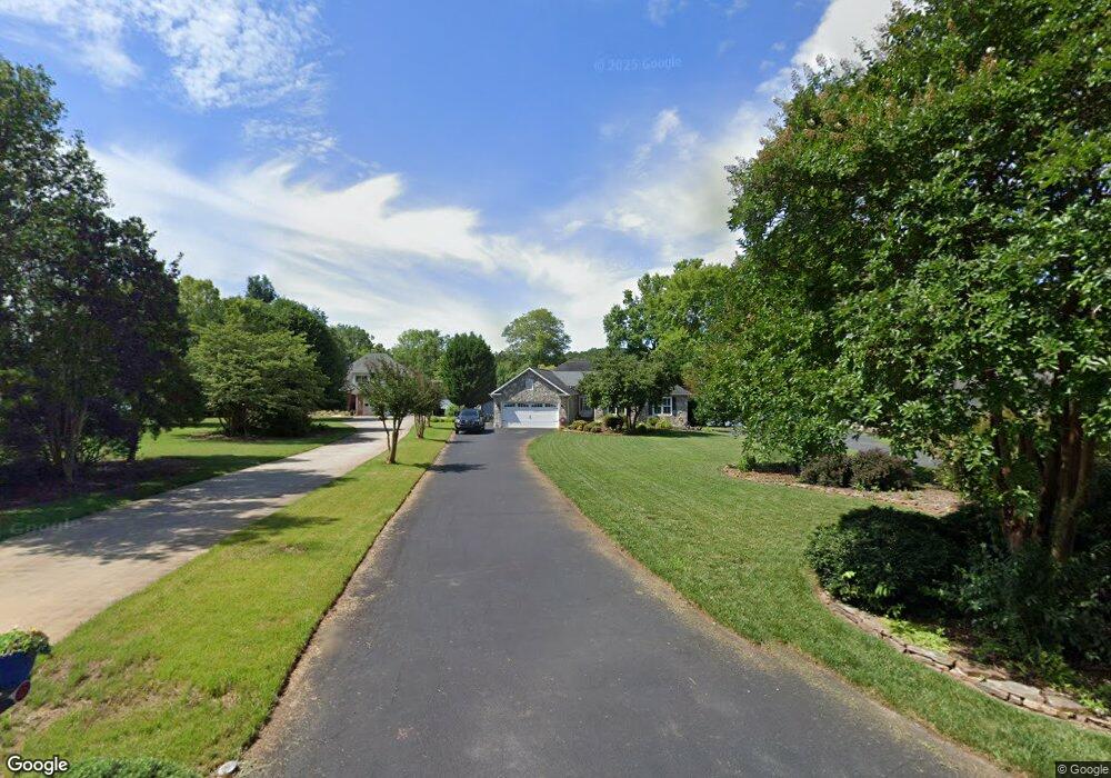
245 Pebble Point Salisbury, NC 28146
Estimated Value: $610,000 - $659,000
--
Bed
2
Baths
2,036
Sq Ft
$315/Sq Ft
Est. Value
About This Home
This home is located at 245 Pebble Point, Salisbury, NC 28146 and is currently estimated at $642,136, approximately $315 per square foot. 245 Pebble Point is a home located in Rowan County with nearby schools including E Hanford Dole Elementary School, North Rowan Middle School, and North Rowan High School.
Ownership History
Date
Name
Owned For
Owner Type
Purchase Details
Closed on
Jun 6, 2013
Sold by
Frank Teresa Morgan
Bought by
Cox Michael J and Cox Sue Ellen
Current Estimated Value
Home Financials for this Owner
Home Financials are based on the most recent Mortgage that was taken out on this home.
Original Mortgage
$296,437
Interest Rate
3.59%
Mortgage Type
New Conventional
Purchase Details
Closed on
Oct 17, 2003
Sold by
Tuttle Wallace C and Tuttle Sylvia E
Bought by
Frank Teresa Morgan
Home Financials for this Owner
Home Financials are based on the most recent Mortgage that was taken out on this home.
Original Mortgage
$241,530
Interest Rate
6.45%
Mortgage Type
Purchase Money Mortgage
Create a Home Valuation Report for This Property
The Home Valuation Report is an in-depth analysis detailing your home's value as well as a comparison with similar homes in the area
Home Values in the Area
Average Home Value in this Area
Purchase History
| Date | Buyer | Sale Price | Title Company |
|---|---|---|---|
| Cox Michael J | $382,500 | None Available | |
| Frank Teresa Morgan | $249,000 | -- |
Source: Public Records
Mortgage History
| Date | Status | Borrower | Loan Amount |
|---|---|---|---|
| Previous Owner | Cox Michael J | $296,437 | |
| Previous Owner | Frank Teresa Morgan | $241,530 |
Source: Public Records
Tax History Compared to Growth
Tax History
| Year | Tax Paid | Tax Assessment Tax Assessment Total Assessment is a certain percentage of the fair market value that is determined by local assessors to be the total taxable value of land and additions on the property. | Land | Improvement |
|---|---|---|---|---|
| 2025 | $3,465 | $519,123 | $175,000 | $344,123 |
| 2024 | $3,465 | $519,123 | $175,000 | $344,123 |
| 2023 | $3,465 | $519,123 | $175,000 | $344,123 |
| 2022 | $2,524 | $338,832 | $133,500 | $205,332 |
| 2021 | $2,499 | $338,832 | $133,500 | $205,332 |
| 2020 | $2,420 | $328,126 | $133,500 | $194,626 |
| 2019 | $2,420 | $328,126 | $133,500 | $194,626 |
| 2018 | $2,087 | $285,294 | $116,000 | $169,294 |
| 2017 | $2,087 | $285,294 | $116,000 | $169,294 |
| 2016 | $2,164 | $285,294 | $116,000 | $169,294 |
| 2015 | $2,200 | $285,294 | $116,000 | $169,294 |
| 2014 | $2,302 | $284,558 | $116,000 | $168,558 |
Source: Public Records
Map
Nearby Homes
- 465 White Crane Rd
- 621 Sunset Pointe Dr
- 453 Sunset Pointe Dr
- 1547 Sunset Pointe Dr
- 1140 Inlet Point Rd
- 1053 Inlet Point Rd
- 0 Tidewater Rd
- 1135 Rudder Cir
- 1105 Rudder Cir
- 1261 Sunset Pointe Dr Unit 60
- 1283 Sunset Pointe Dr
- 350 River Country Rd
- 1525 Sunset Pointe Dr
- 260 River Country Rd
- 330 Waters Rd
- 23 AC Ned Marsh Rd
- 5555 Long Ferry Rd
- 215 Meadow Lake Dr
- 238 Bluff Ln
- 3445 Long Ferry Rd
- 255 Pebble Point
- 325 Pebble Point
- 265 Pebble Point
- 125 Pebble Point
- 335 Pebble Point
- 6785 Goodman Lake Rd
- 6769 Goodman Lake Rd
- 355 Pebble Point
- 6751 Goodman Lake Rd
- 375 Pebble Point
- 6743 Goodman Lake Rd
- Lot 81 Sunset Pointe Dr
- 85 Sunset Pointe Dr
- L11 Sunset Pointe Dr
- Lot 7 Sunset Pointe Dr Unit 7
- Lot 95 Sunset Pointe Dr Unit 95
- 425 Pebble Point
- 0 Sunset Pointe Dr Unit 837915
- L100 Sunset Pointe Dr
- 00 Sunset Pointe Dr