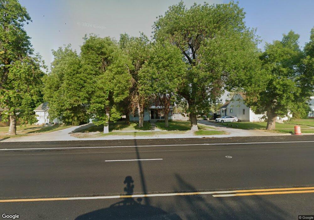
245 S Main St Smithfield, UT 84335
Estimated Value: $400,998 - $439,000
4
Beds
1
Bath
1,815
Sq Ft
$229/Sq Ft
Est. Value
About This Home
This home is located at 245 S Main St, Smithfield, UT 84335 and is currently estimated at $415,750, approximately $229 per square foot. 245 S Main St is a home located in Cache County with nearby schools including Summit School, Cedar Ridge School, and North Cache Middle School.
Ownership History
Date
Name
Owned For
Owner Type
Purchase Details
Closed on
Aug 20, 2018
Sold by
Swenson Matthew A
Bought by
Swenson Matthew A and Swenson Kristen B
Current Estimated Value
Home Financials for this Owner
Home Financials are based on the most recent Mortgage that was taken out on this home.
Original Mortgage
$216,015
Outstanding Balance
$190,211
Interest Rate
5.25%
Mortgage Type
FHA
Estimated Equity
$225,539
Purchase Details
Closed on
Mar 22, 2010
Sold by
Watkins Laura Lee and Watkins Thomas Allen
Bought by
Fisher Paul Orville and Fisher Karen Anita
Home Financials for this Owner
Home Financials are based on the most recent Mortgage that was taken out on this home.
Original Mortgage
$141,391
Interest Rate
5.25%
Mortgage Type
FHA
Create a Home Valuation Report for This Property
The Home Valuation Report is an in-depth analysis detailing your home's value as well as a comparison with similar homes in the area
Home Values in the Area
Average Home Value in this Area
Purchase History
| Date | Buyer | Sale Price | Title Company |
|---|---|---|---|
| Swenson Matthew A | -- | Hickman Land Title Company | |
| Swenson Matthew A | -- | Hickman Land Title Company | |
| Fisher Paul Orville | -- | American Secure Title |
Source: Public Records
Mortgage History
| Date | Status | Borrower | Loan Amount |
|---|---|---|---|
| Open | Swenson Matthew A | $216,015 | |
| Closed | Swenson Matthew A | $9,336 | |
| Closed | Swenson Matthew A | $216,015 | |
| Previous Owner | Fisher Paul Orville | $141,391 |
Source: Public Records
Tax History
| Year | Tax Paid | Tax Assessment Tax Assessment Total Assessment is a certain percentage of the fair market value that is determined by local assessors to be the total taxable value of land and additions on the property. | Land | Improvement |
|---|---|---|---|---|
| 2025 | $1,719 | $230,100 | $0 | $0 |
| 2024 | $1,816 | $227,995 | $0 | $0 |
| 2023 | $1,917 | $227,655 | $0 | $0 |
| 2022 | $1,749 | $204,350 | $0 | $0 |
| 2021 | $1,679 | $279,420 | $75,000 | $204,420 |
| 2020 | $1,551 | $237,958 | $75,000 | $162,958 |
| 2019 | $1,471 | $213,208 | $50,250 | $162,958 |
| 2018 | $1,397 | $196,150 | $50,250 | $145,900 |
| 2017 | $908 | $76,150 | $0 | $0 |
| 2016 | $924 | $76,150 | $0 | $0 |
| 2015 | $928 | $76,150 | $0 | $0 |
| 2014 | $910 | $76,155 | $0 | $0 |
| 2013 | -- | $76,155 | $0 | $0 |
Source: Public Records
Map
Nearby Homes
Your Personal Tour Guide
Ask me questions while you tour the home.