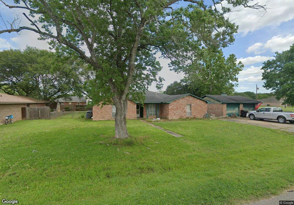
245 Yaupon Dr Brazoria, TX 77422
Estimated Value: $297,537 - $352,000
4
Beds
2
Baths
2,520
Sq Ft
$125/Sq Ft
Est. Value
About This Home
This home is located at 245 Yaupon Dr, Brazoria, TX 77422 and is currently estimated at $315,884, approximately $125 per square foot. 245 Yaupon Dr is a home located in Brazoria County.
Ownership History
Date
Name
Owned For
Owner Type
Purchase Details
Closed on
Feb 25, 1997
Sold by
Aldrich Terry and Aldrich Pamela A
Bought by
Bender Joel A and Bender Hala Maggie
Current Estimated Value
Home Financials for this Owner
Home Financials are based on the most recent Mortgage that was taken out on this home.
Original Mortgage
$97,410
Outstanding Balance
$12,002
Interest Rate
7.92%
Estimated Equity
$303,882
Purchase Details
Closed on
Oct 15, 1993
Sold by
Tielke Jody V and Tielke Darlene D
Bought by
Aldrich Terry and Aldrich Pamela A
Home Financials for this Owner
Home Financials are based on the most recent Mortgage that was taken out on this home.
Original Mortgage
$70,000
Interest Rate
6.79%
Create a Home Valuation Report for This Property
The Home Valuation Report is an in-depth analysis detailing your home's value as well as a comparison with similar homes in the area
Home Values in the Area
Average Home Value in this Area
Purchase History
| Date | Buyer | Sale Price | Title Company |
|---|---|---|---|
| Bender Joel A | -- | -- | |
| Aldrich Terry | -- | -- |
Source: Public Records
Mortgage History
| Date | Status | Borrower | Loan Amount |
|---|---|---|---|
| Open | Bender Joel A | $97,410 | |
| Previous Owner | Aldrich Terry | $70,000 |
Source: Public Records
Tax History Compared to Growth
Tax History
| Year | Tax Paid | Tax Assessment Tax Assessment Total Assessment is a certain percentage of the fair market value that is determined by local assessors to be the total taxable value of land and additions on the property. | Land | Improvement |
|---|---|---|---|---|
| 2025 | $4,058 | $303,030 | $29,990 | $273,040 |
| 2023 | $4,058 | $277,598 | $27,130 | $299,880 |
| 2022 | $5,700 | $252,362 | $23,940 | $241,420 |
| 2021 | $5,407 | $229,420 | $20,750 | $208,670 |
| 2020 | $5,506 | $222,590 | $19,150 | $203,440 |
| 2019 | $5,360 | $209,980 | $15,960 | $194,020 |
| 2018 | $4,912 | $191,370 | $19,150 | $172,220 |
| 2017 | $5,130 | $201,930 | $19,150 | $182,780 |
| 2016 | $4,664 | $190,670 | $15,960 | $174,710 |
| 2015 | $3,353 | $176,060 | $15,960 | $160,100 |
| 2014 | $3,353 | $145,210 | $15,960 | $129,250 |
Source: Public Records
Map
Nearby Homes
- 229 Yaupon Dr
- 523 Lazy Ln
- 232 Magnolia St
- 0 Pecan Dr
- 307 Avenue G
- 409 Carlton St
- 1208 S Brooks St
- 230 E New York St
- 34654 Fm 521 Rd
- 8922 Fm 521 Rd
- 706 E New York St
- 549 E New York St
- 4773 County Road 652
- 310 E Texas St
- 401 E Texas St
- 0 Cr-747a
- TBD Cr-318
- 320 Cr-320
- 0 Cr-318 Unit 18304666
- TBD Cr-318 Tract 7c