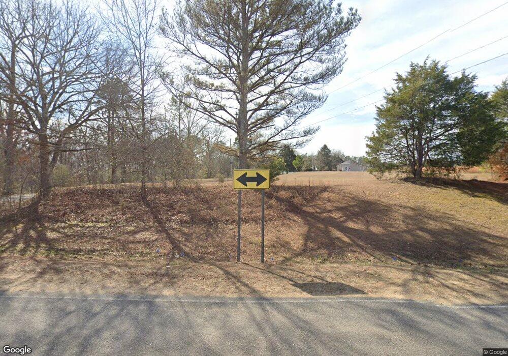
2450 Burntfields Rd Fulton, MI 38843
Estimated Value: $240,000 - $375,000
3
Beds
3
Baths
2,800
Sq Ft
$110/Sq Ft
Est. Value
About This Home
This home is located at 2450 Burntfields Rd, Fulton, MI 38843 and is currently estimated at $309,208, approximately $110 per square foot. 2450 Burntfields Rd is a home located in Itawamba County.
Ownership History
Date
Name
Owned For
Owner Type
Purchase Details
Closed on
Nov 16, 2020
Sold by
Wilson Melissa M and Mills Peggy
Bought by
Mills David G and Mills Tiffany
Current Estimated Value
Home Financials for this Owner
Home Financials are based on the most recent Mortgage that was taken out on this home.
Original Mortgage
$172,762
Outstanding Balance
$153,734
Interest Rate
2.8%
Mortgage Type
New Conventional
Estimated Equity
$155,474
Purchase Details
Closed on
Sep 16, 2016
Sold by
Williams Deonne and Williams Christie
Bought by
Wilson Melissa M and Mills Peggy
Home Financials for this Owner
Home Financials are based on the most recent Mortgage that was taken out on this home.
Original Mortgage
$176,739
Interest Rate
3.25%
Mortgage Type
FHA
Create a Home Valuation Report for This Property
The Home Valuation Report is an in-depth analysis detailing your home's value as well as a comparison with similar homes in the area
Purchase History
| Date | Buyer | Sale Price | Title Company |
|---|---|---|---|
| Mills David G | -- | None Available | |
| Wilson Melissa M | -- | -- |
Source: Public Records
Mortgage History
| Date | Status | Borrower | Loan Amount |
|---|---|---|---|
| Open | Mills David G | $172,762 | |
| Previous Owner | Wilson Melissa M | $176,739 |
Source: Public Records
Tax History
| Year | Tax Paid | Tax Assessment Tax Assessment Total Assessment is a certain percentage of the fair market value that is determined by local assessors to be the total taxable value of land and additions on the property. | Land | Improvement |
|---|---|---|---|---|
| 2024 | $15 | $13,575 | $0 | $0 |
| 2023 | $1,527 | $13,731 | $0 | $0 |
| 2022 | $1,500 | $13,892 | $0 | $0 |
| 2021 | $1,354 | $12,765 | $0 | $0 |
| 2020 | $1,196 | $11,545 | $0 | $0 |
| 2019 | $1,178 | $11,673 | $0 | $0 |
| 2018 | $1,223 | $12,029 | $0 | $0 |
| 2017 | $76 | $11,880 | $0 | $0 |
| 2015 | $52 | $79,020 | $7,730 | $71,290 |
| 2014 | $52 | $78,540 | $7,670 | $70,870 |
| 2013 | -- | $77,210 | $7,640 | $69,570 |
Source: Public Records
Map
Nearby Homes
- 0
- 0 0 Scott Senter Road (30 Ac)
- Lot 5A Arrowhead Dr
- 0 Beaver Lake Rd
- Lot 8 Old Beaver Lake Rd
- Lot 14 Old Beaver Lake Rd
- 12 Old Beaver Lake Cove
- 4625 Tucker Rd
- 0 0 Scott Senter Road (170 Ac)
- Lot 8 Dogwood Estates
- Lot 2 Dogwood Estates
- Lot 1 Dogwood Estates Rd
- 0 Possum Trot Rd
- 895 Sandy Springs Rd
- 500 Lindsey Rd N
- 549 Lake Dr
- 1732 Lake Dr
- 0 Martin Rd NE
- Tbd
- 2635 Joe Wheeler Brown Rd
- 2450 Burntfields Rd
- 678 James Williams Rd
- 2490 Burntfields Rd
- 341 Carson Williams Rd
- 0 Burntfields Rd
- 2275 Burntfields Rd
- 190 Carson Williams Rd
- 2575 Burntfields Rd
- 315 Carson Williams Rd
- 2855 Burntfields Rd
- 3060 Burntfields Rd
- 3114 Burntfields Rd
- 3161 Burntfields Rd
- 2 Charles Williams Rd
- 22367 Old Hwy 25 N
- 3237 Burntfields Rd
Your Personal Tour Guide
Ask me questions while you tour the home.
