2450 N 1000 W Driggs, ID 83422
Estimated Value: $764,000 - $1,139,000
4
Beds
2
Baths
2,544
Sq Ft
$356/Sq Ft
Est. Value
About This Home
This home is located at 2450 N 1000 W, Driggs, ID 83422 and is currently estimated at $904,533, approximately $355 per square foot. 2450 N 1000 W is a home with nearby schools including Driggs Elementary School, Teton High School, and The Learning Academy of Teton Valley.
Ownership History
Date
Name
Owned For
Owner Type
Purchase Details
Closed on
Oct 29, 2019
Sold by
Little Kenneth C and Little Vivian S
Bought by
Little Thomas Aaron and Little Kenneth C
Current Estimated Value
Purchase Details
Closed on
Nov 22, 2013
Sold by
Little Whitney and Little Wanda
Bought by
Little Kenneth C and Little Vivian S
Purchase Details
Closed on
Dec 24, 2012
Sold by
Saldi Linda F
Bought by
Little Thomas Aaron and Little Mary Frances
Home Financials for this Owner
Home Financials are based on the most recent Mortgage that was taken out on this home.
Original Mortgage
$35,000
Interest Rate
3.29%
Mortgage Type
Unknown
Create a Home Valuation Report for This Property
The Home Valuation Report is an in-depth analysis detailing your home's value as well as a comparison with similar homes in the area
Home Values in the Area
Average Home Value in this Area
Purchase History
| Date | Buyer | Sale Price | Title Company |
|---|---|---|---|
| Little Thomas Aaron | -- | None Available | |
| Little Kenneth C | -- | None Available | |
| Little Thomas Aaron | -- | First American Title |
Source: Public Records
Mortgage History
| Date | Status | Borrower | Loan Amount |
|---|---|---|---|
| Previous Owner | Little Thomas Aaron | $35,000 |
Source: Public Records
Tax History Compared to Growth
Tax History
| Year | Tax Paid | Tax Assessment Tax Assessment Total Assessment is a certain percentage of the fair market value that is determined by local assessors to be the total taxable value of land and additions on the property. | Land | Improvement |
|---|---|---|---|---|
| 2025 | $1,816 | $680,284 | $156,562 | $523,722 |
| 2024 | $1,816 | $665,850 | $142,128 | $523,722 |
| 2023 | $1,816 | $665,567 | $141,845 | $523,722 |
| 2022 | $1,696 | $507,752 | $104,950 | $402,802 |
| 2021 | $2,057 | $378,266 | $83,622 | $294,644 |
| 2020 | $2,115 | $316,715 | $80,932 | $235,783 |
| 2019 | $1,723 | $314,733 | $78,950 | $235,783 |
| 2018 | $1,605 | $283,841 | $71,162 | $212,679 |
| 2017 | $1,415 | $277,425 | $64,746 | $212,679 |
| 2016 | $1,430 | $254,678 | $62,905 | $191,773 |
| 2015 | $1,316 | $220,691 | $71,121 | $149,570 |
| 2011 | -- | $46,960 | $46,960 | $0 |
Source: Public Records
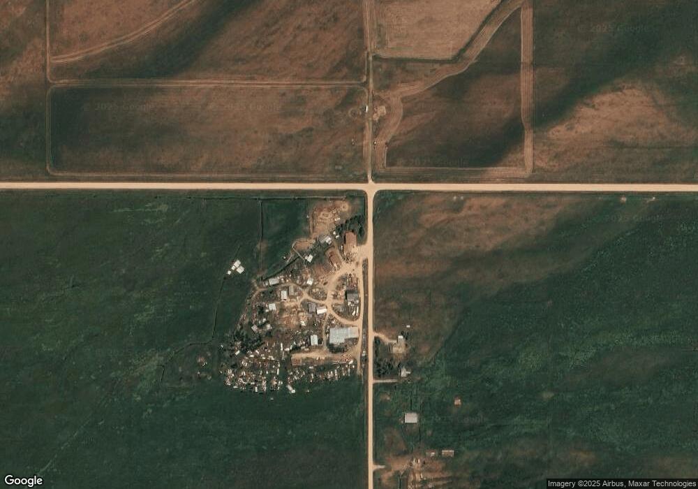
Map
Nearby Homes
- TBD Lot 1 Hillside Ln
- TBD Lot 9 Hillside Ln
- 2929 Iron Wood Dr
- 3278 S 1000 E
- 381 E 3000 S
- 250 E 1750 S
- 1570 Larsen Ln
- 295 S 3000 S
- 1330 Larsen Ln
- TBD W 3000 S
- 2657 Rendezvous Dr
- 268 Lone Cowboy Rd
- 485 Lone Cowboy Rd
- TBD S 1750 E
- 980 S 1000 E
- 2 W 2500 S
- 1227 Pine View Ln
- 1460 Cherry Grove Ln
- 1108 Pine View Ln
- 1102 Pine View Ln