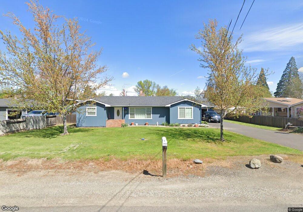
2450 Robin Ln Central Point, OR 97502
Estimated Value: $392,000 - $463,704
About This Home
This home is located at 2450 Robin Ln, Central Point, OR 97502 and is currently estimated at $428,568, approximately $389 per square foot. 2450 Robin Ln is a home located in Jackson County with nearby schools including Richardson Elementary School, Scenic Middle School, and Crater High School.
Ownership History
We collect this data history from publicly available records. To have your information removed, we recommend requesting removal directly through your county’s website.
Purchase Details
Purchase Details
Home Financials for this Owner
Home Financials are based on the most recent Mortgage that was taken out on this home.Purchase Details
Purchase Details
Purchase History
We collect this data history from publicly available records. To have your information removed, we recommend requesting removal directly through your county’s website.
| Date | Buyer | Sale Price | Title Company |
|---|---|---|---|
| -- | None Available | ||
| $130,000 | Ticor Title | ||
| $219,659 | Ticor Title | ||
| -- | Accommodation | ||
| -- | Lawyers Title Insurance Corp |
Mortgage History
We collect this data history from publicly available records. To have your information removed, we recommend requesting removal directly through your county’s website.
| Date | Status | Borrower | Loan Amount |
|---|---|---|---|
| Open | $104,000 |
Tax History
We collect this data history from publicly available records. To have your information removed, we recommend requesting removal directly through your county’s website.
| Year | Tax Paid | Tax Assessment Tax Assessment Total Assessment is a certain percentage of the fair market value that is determined by local assessors to be the total taxable value of land and additions on the property. | Land | Improvement |
|---|---|---|---|---|
| 2026 | $3,261 | $267,080 | -- | -- |
| 2025 | $3,186 | $259,310 | $110,830 | $148,480 |
| 2024 | $3,186 | $251,760 | $97,790 | $153,970 |
| 2023 | $3,080 | $244,430 | $94,950 | $149,480 |
| 2022 | $3,014 | $244,430 | $94,950 | $149,480 |
| 2021 | $2,929 | $237,320 | $92,190 | $145,130 |
| 2020 | $2,843 | $230,410 | $89,500 | $140,910 |
| 2019 | $2,778 | $217,190 | $84,360 | $132,830 |
| 2018 | $2,692 | $210,870 | $81,910 | $128,960 |
| 2017 | $2,628 | $210,870 | $81,910 | $128,960 |
| 2016 | $2,551 | $198,770 | $77,200 | $121,570 |
| 2015 | $2,433 | $198,770 | $77,200 | $121,570 |
| 2014 | $2,374 | $187,370 | $72,770 | $114,600 |
Map
- 570 Bachand Cir
- 429 Mayberry Ln
- 545 Diego Ct Unit 1
- 574 Grey Hawk Way
- 50 Kathryn Ct
- 10 Donna Way
- 109 Vincent Ave
- 3307 Freeland Rd
- 612 Vincent Ave
- 120 Nadine Ln
- 501 Palo Verde Way
- 752 Mallory Ct
- 207 Holiday Ln
- 196 Nadine Ln
- 349 W Pine St
- 359 Jans Ct
- 871 Holley Way
- 626 Griffin Oaks Dr
- 895 Holley Way
- 928 Buck Point St
Ask me questions while you tour the home.