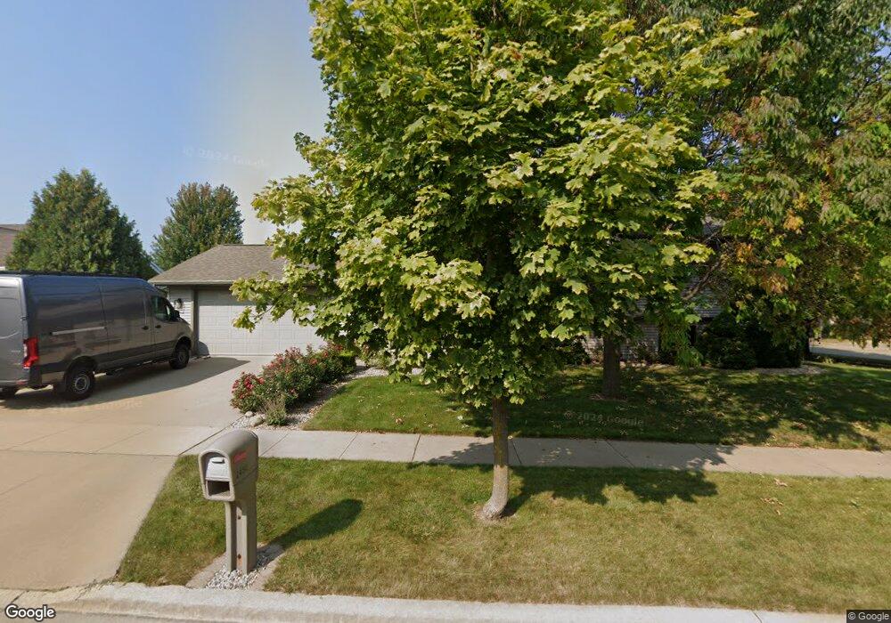
2450 Security Dr Oshkosh, WI 54904
Estimated Value: $353,000 - $366,000
3
Beds
2
Baths
2,000
Sq Ft
$180/Sq Ft
Est. Value
About This Home
This home is located at 2450 Security Dr, Oshkosh, WI 54904 and is currently estimated at $360,680, approximately $180 per square foot. 2450 Security Dr is a home located in Winnebago County with nearby schools including Franklin Elementary School, Tipler Middle School, and West High School.
Ownership History
Date
Name
Owned For
Owner Type
Purchase Details
Closed on
Dec 23, 2021
Sold by
Lindemann Loren D and Estate Of Carie L Tesch
Bought by
Koechell Dean W
Current Estimated Value
Purchase Details
Closed on
May 12, 2006
Sold by
Ludwig Scott D and Ludwig Kasi L
Bought by
Osowski Patrick J and Osowski Beth D
Home Financials for this Owner
Home Financials are based on the most recent Mortgage that was taken out on this home.
Original Mortgage
$148,000
Interest Rate
6.56%
Mortgage Type
New Conventional
Create a Home Valuation Report for This Property
The Home Valuation Report is an in-depth analysis detailing your home's value as well as a comparison with similar homes in the area
Purchase History
| Date | Buyer | Sale Price | Title Company |
|---|---|---|---|
| Koechell Dean W | $209,900 | None Available | |
| Osowski Patrick J | $185,000 | None Available |
Source: Public Records
Mortgage History
| Date | Status | Borrower | Loan Amount |
|---|---|---|---|
| Previous Owner | Osowski Patrick J | $148,000 |
Source: Public Records
Tax History
| Year | Tax Paid | Tax Assessment Tax Assessment Total Assessment is a certain percentage of the fair market value that is determined by local assessors to be the total taxable value of land and additions on the property. | Land | Improvement |
|---|---|---|---|---|
| 2024 | $5,528 | $306,400 | $39,700 | $266,700 |
| 2023 | $4,906 | $176,600 | $30,500 | $146,100 |
| 2022 | $4,890 | $176,600 | $30,500 | $146,100 |
| 2021 | $4,588 | $176,600 | $30,500 | $146,100 |
| 2020 | $4,404 | $176,600 | $30,500 | $146,100 |
| 2019 | $5,052 | $176,600 | $30,500 | $146,100 |
| 2018 | $4,989 | $176,600 | $30,500 | $146,100 |
| 2017 | $4,398 | $176,600 | $30,500 | $146,100 |
| 2016 | $4,611 | $181,300 | $30,500 | $150,800 |
| 2015 | $4,483 | $181,300 | $30,500 | $150,800 |
| 2014 | $4,523 | $181,300 | $30,500 | $150,800 |
| 2013 | $4,529 | $181,300 | $30,500 | $150,800 |
Source: Public Records
Map
Nearby Homes
- 363 Sunnybrook Dr
- 2457 Blake Ct
- 765 N Washburn St
- 1775 Lombard Ave
- 855 Greenfield Trail
- 3009 Omro Rd
- 1875 Rath Ln
- 1753 W 5th Ave
- 1519 Adams Ave
- 612 S Westfield St
- 1051 S Oakwood Rd
- 0 Quail Run Dr Unit 50290410
- 0 Quail Run Dr Unit 50290411
- 0 Quail Run Dr Unit 50290414
- 0 Quail Run Dr Unit 50290413
- 1422 W 2nd Ave
- 1416 W 2nd Ave
- 1325 S Westhaven Dr
- 3140 Bailey Ct
- 937 N Sawyer St
- 2460 Security Dr
- 439 Sunnybrook Dr
- 2491 Security Dr
- 398 Sunnybrook Dr
- 2480 Security Dr
- 397 Sunnybrook Dr
- 424 Sunnybrook Dr
- 453 Sunnybrook Dr
- 436 Sunnybrook Dr
- 2461 Security Dr
- 412 Sunnybrook Dr
- 448 Sunnybrook Dr
- 2471 Security Dr
- 392 Sunnybrook Dr
- 2485 Security Dr
- 2490 Security Dr
- 467 Sunnybrook Dr
- 391 Sunnybrook Dr
- 460 Sunnybrook Dr
- 472 Sunnybrook Dr
Your Personal Tour Guide
Ask me questions while you tour the home.