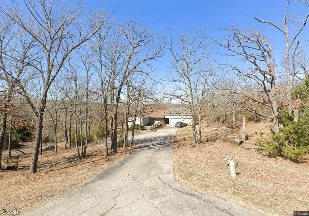
2450 Thunderbird Ln Sapulpa, OK 74066
Estimated Value: $418,000 - $492,808
4
Beds
3
Baths
3,423
Sq Ft
$131/Sq Ft
Est. Value
About This Home
This home is located at 2450 Thunderbird Ln, Sapulpa, OK 74066 and is currently estimated at $447,202, approximately $130 per square foot. 2450 Thunderbird Ln is a home located in Creek County with nearby schools including Lone Star Public School, Eagle Point Christian Academy, and American Christian Academy.
Ownership History
Date
Name
Owned For
Owner Type
Purchase Details
Closed on
May 5, 2017
Sold by
Bly Ernest and Bly Patricia
Bought by
Arnold Melanie K and Arnold William A
Current Estimated Value
Purchase Details
Closed on
Feb 28, 2008
Sold by
Bank Of New York Company N A
Bought by
Bly Ernest and Bly Patricia
Create a Home Valuation Report for This Property
The Home Valuation Report is an in-depth analysis detailing your home's value as well as a comparison with similar homes in the area
Home Values in the Area
Average Home Value in this Area
Purchase History
| Date | Buyer | Sale Price | Title Company |
|---|---|---|---|
| Arnold Melanie K | $239,000 | First American Title | |
| Bly Ernest | $116,000 | None Available |
Source: Public Records
Tax History
| Year | Tax Paid | Tax Assessment Tax Assessment Total Assessment is a certain percentage of the fair market value that is determined by local assessors to be the total taxable value of land and additions on the property. | Land | Improvement |
|---|---|---|---|---|
| 2025 | $3,858 | $36,863 | $4,656 | $32,207 |
| 2024 | $3,675 | $35,108 | $4,656 | $30,452 |
| 2023 | $3,675 | $33,436 | $4,656 | $28,780 |
| 2022 | $3,387 | $31,844 | $4,656 | $27,188 |
| 2021 | $2,669 | $24,703 | $4,656 | $20,047 |
| 2020 | $3,405 | $27,117 | $4,656 | $22,461 |
| 2019 | $3,059 | $28,725 | $4,656 | $24,069 |
| 2018 | $3,108 | $28,725 | $4,656 | $24,069 |
| 2017 | $1,516 | $13,920 | $1,848 | $12,072 |
| 2016 | $1,445 | $13,920 | $1,848 | $12,072 |
| 2015 | -- | $13,920 | $1,848 | $12,072 |
| 2014 | -- | $13,920 | $1,848 | $12,072 |
Source: Public Records
Map
Nearby Homes
- 2310 S Hickory St
- 1930 S Bixby St
- 2600 S Hickory St
- 710 W Mary Lynn Dr
- 1965 S Scott St
- 2806 S Hickory St
- 2326 S Main St
- 2203 S Poplar St
- 14 E Portland Ave
- 112 W Linda St
- 6 E Fairlane Dr
- 2124 S Main St
- 2125 S Main St
- 37 E Fairlane Place
- 55 E Fairlane Ct Unit 3
- 215 W Burnham Ave
- 1424 S Main St
- 119 E Ross Ave
- 1310 Panther Ln
- 1600 S Park St
- 2440 Thunderbird Ln
- 0 Thunderbird Ln
- 2424 Thunderbird Ln
- 2447 Thunderbird Ln
- 2455 Thunderbird Ln
- 621 Pinto Ln
- 611 Pinto Ln
- 2431 Thunderbird Ln
- 631 Pinto Ln
- 2505 Thunderbird Ln
- 2419 Thunderbird Ln
- 2409 Thunderbird Ln
- 2448 Galaxy Rd
- 616 Pinto Ln
- 2521 Thunderbird Ln
- 507 Fairlane Dr
- 512 Fairlane Dr
- 634 Pinto Ln
- 2529 Thunderbird Ln
- 0 W Pinto Ln
Your Personal Tour Guide
Ask me questions while you tour the home.