2451 Apache Dr Sidney, OH 45365
Estimated Value: $221,000 - $332,000
4
Beds
2
Baths
1,896
Sq Ft
$150/Sq Ft
Est. Value
About This Home
This home is located at 2451 Apache Dr, Sidney, OH 45365 and is currently estimated at $284,642, approximately $150 per square foot. 2451 Apache Dr is a home located in Shelby County with nearby schools including Sidney High School, Holy Angels Catholic School, and Christian Academy Schools.
Ownership History
Date
Name
Owned For
Owner Type
Purchase Details
Closed on
Apr 8, 2021
Sold by
Bertke Dale E and Bertke Lois J
Bought by
Lakelife Properties Llc
Current Estimated Value
Purchase Details
Closed on
Feb 24, 2010
Sold by
Mccord Edward and Mccord Lisa
Bought by
Bertke Dale E and Bertke Lois J
Home Financials for this Owner
Home Financials are based on the most recent Mortgage that was taken out on this home.
Original Mortgage
$103,875
Interest Rate
5.11%
Mortgage Type
New Conventional
Create a Home Valuation Report for This Property
The Home Valuation Report is an in-depth analysis detailing your home's value as well as a comparison with similar homes in the area
Home Values in the Area
Average Home Value in this Area
Purchase History
| Date | Buyer | Sale Price | Title Company |
|---|---|---|---|
| Lakelife Properties Llc | -- | None Available | |
| Bertke Dale E | $138,500 | Attorney |
Source: Public Records
Mortgage History
| Date | Status | Borrower | Loan Amount |
|---|---|---|---|
| Previous Owner | Bertke Dale E | $103,875 |
Source: Public Records
Tax History
| Year | Tax Paid | Tax Assessment Tax Assessment Total Assessment is a certain percentage of the fair market value that is determined by local assessors to be the total taxable value of land and additions on the property. | Land | Improvement |
|---|---|---|---|---|
| 2024 | $2,839 | $78,760 | $13,020 | $65,740 |
| 2023 | $2,864 | $78,760 | $13,020 | $65,740 |
| 2022 | $2,598 | $63,240 | $11,960 | $51,280 |
| 2021 | $2,624 | $63,240 | $11,960 | $51,280 |
| 2020 | $2,624 | $63,240 | $11,960 | $51,280 |
| 2019 | $2,159 | $52,140 | $9,940 | $42,200 |
| 2018 | $2,130 | $52,140 | $9,940 | $42,200 |
| 2017 | $2,107 | $52,140 | $9,940 | $42,200 |
| 2016 | $1,999 | $49,370 | $10,510 | $38,860 |
| 2015 | $2,004 | $49,370 | $10,510 | $38,860 |
| 2014 | $2,004 | $49,370 | $10,510 | $38,860 |
| 2013 | $2,468 | $56,170 | $10,510 | $45,660 |
Source: Public Records
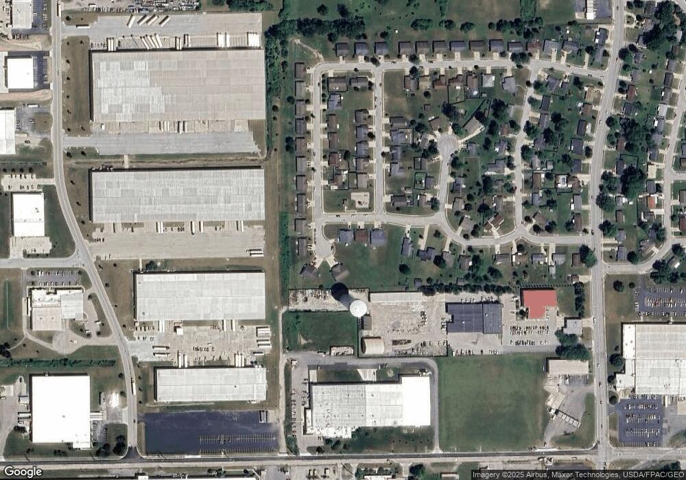
Map
Nearby Homes
- 1901 Shawnee Dr
- 1883 Shawnee Dr
- 305 S Vandemark Rd
- 1843 Robert Place
- 3202 W Michigan St
- 1808 Glenn Place
- 111 Stolle Ave
- 00 Norcold Dr
- 000 Norcold Dr
- 00 Folkerth Ave
- 632 Folkerth Ave Unit 50
- 416 & 418 Fifth Ave
- 508 Urban Ave
- 1116 Taft St
- 0 Sharp Unit 1043619
- 0 County Road 25a Rd Unit 951259
- 0 County Road 25a Rd Unit 1043551
- 0 Russell Unit 1043361
- 00 Fair Rd
- 1624 Holly Place
- 2441 Apache Dr
- 2461 Apache Dr
- 2431 Apache Dr
- 2481 Apache Dr
- 2491 Apache Dr
- 2471 Apache Dr
- 2501 Apache Dr
- 2510 Apache Dr
- 289 Sherri Ann Ave
- 2411 Apache Dr
- 2511 Apache Dr
- 306 Sherri Ann Ave
- 273 Sherri Ann Ave
- 2520 Apache Dr
- 2521 Apache Dr
- 2405 Apache Dr
- 274 Sherri Ann Ave
- 311 King Ct
- 257 Sherri Ann Ave
- 2530 Apache Dr
Your Personal Tour Guide
Ask me questions while you tour the home.