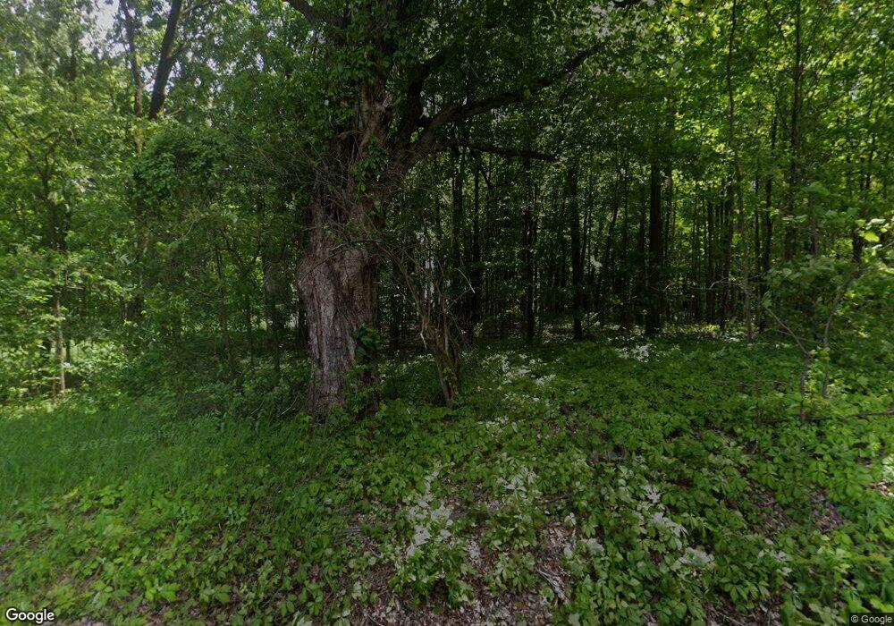
24511 63rd Ave Mattawan, MI 49071
Estimated Value: $395,000 - $808,940
Studio
1
Bath
1,988
Sq Ft
$282/Sq Ft
Est. Value
About This Home
This home is located at 24511 63rd Ave, Mattawan, MI 49071 and is currently estimated at $559,980, approximately $281 per square foot. 24511 63rd Ave is a home located in Van Buren County with nearby schools including Mattawan Early Elementary School, Mattawan Early Childhood Education Center, and Mattawan Later Elementary School.
Ownership History
Date
Name
Owned For
Owner Type
Purchase Details
Closed on
May 24, 2017
Sold by
Mroczek James F and Mroczek Laura A
Bought by
Mroczek James F and James F Mroczek Revocable Trust
Current Estimated Value
Purchase Details
Closed on
Dec 20, 2016
Sold by
Hanson Donna J and Mroczek James F
Bought by
Mroczek James F
Purchase Details
Closed on
Oct 5, 2001
Sold by
Mroczek James F
Bought by
Mroczek James F and Mroczek Laura A
Create a Home Valuation Report for This Property
The Home Valuation Report is an in-depth analysis detailing your home's value as well as a comparison with similar homes in the area
Home Values in the Area
Average Home Value in this Area
Purchase History
| Date | Buyer | Sale Price | Title Company |
|---|---|---|---|
| Mroczek James F | -- | Attorney | |
| Mroczek James F | -- | Attorney | |
| Mroczek James F | -- | -- |
Source: Public Records
Tax History
| Year | Tax Paid | Tax Assessment Tax Assessment Total Assessment is a certain percentage of the fair market value that is determined by local assessors to be the total taxable value of land and additions on the property. | Land | Improvement |
|---|---|---|---|---|
| 2025 | $5,461 | $487,600 | $0 | $0 |
| 2024 | $1,618 | $464,000 | $0 | $0 |
| 2023 | $1,541 | $380,900 | $0 | $0 |
| 2022 | $4,902 | $343,200 | $0 | $0 |
| 2021 | $4,720 | $314,100 | $168,000 | $146,100 |
| 2020 | $4,656 | $283,400 | $141,000 | $142,400 |
| 2019 | $4,314 | $271,000 | $271,000 | $0 |
| 2018 | $4,214 | $272,100 | $272,100 | $0 |
| 2017 | $4,067 | $229,400 | $0 | $0 |
| 2016 | $3,389 | $226,200 | $0 | $0 |
| 2015 | $3,005 | $226,200 | $0 | $0 |
| 2014 | $2,950 | $185,900 | $0 | $0 |
| 2013 | -- | $176,500 | $176,500 | $0 |
Source: Public Records
Map
Nearby Homes
- 61121 Airpark Ln
- 10711 Mystic Heights Trail
- 58994 Interlaken St
- 58285 Interlaken St
- 58913 Swenson St
- 59103 Silvergrass Dr
- 58586 Swenson St
- 58367 Swenson St
- 58640 Swenson St
- 59075 Norton St
- 59072 Swenson St
- 58802 Swenson St
- Integrity 1750 Plan at Concord Farms
- Elements 1680 Plan at Concord Farms
- Integrity 1460 Plan at Concord Farms
- Integrity 1610 Plan at Concord Farms
- Traditions 3100 Plan at Concord Farms
- Traditions 3390 V8.2b Plan at Concord Farms
- Integrity 1520 Plan at Concord Farms
- Elements 2090 Plan at Concord Farms
- 24353 63rd Ave
- 25045 63rd Ave
- 25045 63rd Ave
- 63762 County Road 652
- 24380 63rd Ave
- 24470 63rd Ave
- 24320 63rd Ave
- 24225 63rd Ave
- 64834 County Road 652
- 24230 63rd Ave
- 24405 Oak Ln
- 64790 County Road 652
- 24333 Oak Ln
- 24333 Oak Ln
- 63908 County Road 652
- 25203 63rd Ave
- 24419 Oak Ln
- 24148 63rd Ave
- 24241 Oak Ln
- 24213 Oak Ln
Your Personal Tour Guide
Ask me questions while you tour the home.
