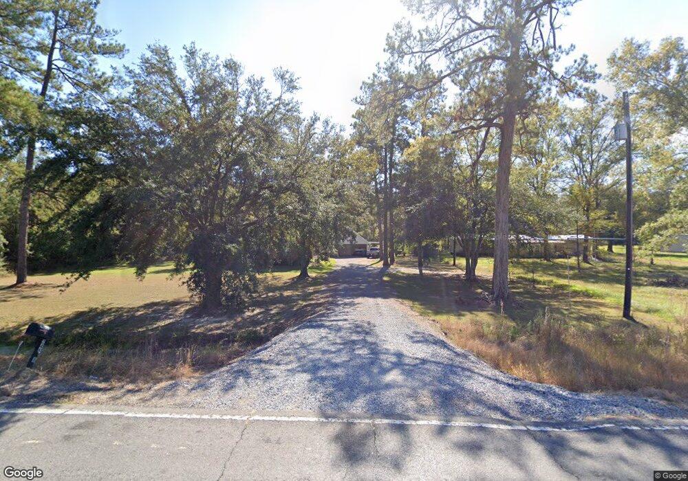
24518 Hwy 42 Hwy Holden, LA 70744
Estimated Value: $212,000 - $310,150
3
Beds
2
Baths
1,864
Sq Ft
$148/Sq Ft
Est. Value
About This Home
This home is located at 24518 Hwy 42 Hwy, Holden, LA 70744 and is currently estimated at $275,038, approximately $147 per square foot. 24518 Hwy 42 Hwy is a home located in Livingston Parish with nearby schools including Springfield Elementary School, Springfield Middle School, and Springfield High School.
Ownership History
Date
Name
Owned For
Owner Type
Purchase Details
Closed on
Nov 8, 2005
Sold by
Ricks Clary Cary Chadwick and Ricks Clary Deborah
Bought by
Carollo Tracy Allen and Carollo Marie Lynn Tarifa
Current Estimated Value
Home Financials for this Owner
Home Financials are based on the most recent Mortgage that was taken out on this home.
Original Mortgage
$147,250
Outstanding Balance
$80,681
Interest Rate
6.04%
Mortgage Type
New Conventional
Estimated Equity
$194,357
Create a Home Valuation Report for This Property
The Home Valuation Report is an in-depth analysis detailing your home's value as well as a comparison with similar homes in the area
Home Values in the Area
Average Home Value in this Area
Purchase History
| Date | Buyer | Sale Price | Title Company |
|---|---|---|---|
| Carollo Tracy Allen | $155,000 | None Available |
Source: Public Records
Mortgage History
| Date | Status | Borrower | Loan Amount |
|---|---|---|---|
| Open | Carollo Tracy Allen | $147,250 |
Source: Public Records
Tax History Compared to Growth
Tax History
| Year | Tax Paid | Tax Assessment Tax Assessment Total Assessment is a certain percentage of the fair market value that is determined by local assessors to be the total taxable value of land and additions on the property. | Land | Improvement |
|---|---|---|---|---|
| 2024 | $1,896 | $23,231 | $3,244 | $19,987 |
| 2023 | $1,499 | $17,190 | $2,920 | $14,270 |
| 2022 | $1,513 | $17,190 | $2,920 | $14,270 |
| 2021 | $1,519 | $17,190 | $2,920 | $14,270 |
| 2020 | $1,510 | $17,190 | $2,920 | $14,270 |
| 2019 | $1,492 | $16,700 | $1,370 | $15,330 |
| 2018 | $1,492 | $16,700 | $1,370 | $15,330 |
| 2017 | $1,484 | $16,700 | $1,370 | $15,330 |
| 2015 | $781 | $16,290 | $1,220 | $15,070 |
| 2014 | $794 | $16,290 | $1,220 | $15,070 |
Source: Public Records
Map
Nearby Homes
- Tract 8 Lorin Wall Rd
- Tract 16 Lorin Wall Rd
- Tract 15 Lorin Wall Rd
- Tract 14 Lorin Wall Rd
- Tract 13 Lorin Wall Rd
- Tract 12 Lorin Wall Rd
- Tract 9 Lorin Wall Rd
- 24744 La Hwy 42
- La 441 Unit LotWP001
- 25210 Phillip Richardson Ln
- TBD Church of God Rd
- 28890 Phillip Richardson Rd
- 27302 Lakeview Ln
- 23748 Hutchinson Rd
- 25790 Oak Alley Dr
- 25798 Louisiana 42
- Tract JB-4 George White Rd
- 29424 George White Rd
- 29617 George White Rd
- 29581 George White Rd
- 24510 Louisiana 42
- 24510 La 42 Hwy
- 24510 Highway 42
- 24518 La 42 Hwy
- 24518 La 42 Hwy
- 24528 La 42 Hwy
- 24590 Louisiana 42
- 24590 La 42 Hwy
- 24608 La 42 Hwy
- 24600 La Hwy 42
- 24600 La 42 Hwy
- 24600 Hwy 42 Hwy
- 24600 Louisiana 42
- 25401 Lorin Wall Rd
- 24602 La 42 Hwy
- 24466 La 42 Hwy
- 25385 Lorin Wall Rd
- 24640 La Hwy 42
- 24640 La 42 Hwy
- 24648 Louisiana 42
