2452 Highway 53 W Dawsonville, GA 30534
Dawson County NeighborhoodEstimated Value: $319,000 - $392,000
3
Beds
2
Baths
1,544
Sq Ft
$235/Sq Ft
Est. Value
About This Home
This home is located at 2452 Highway 53 W, Dawsonville, GA 30534 and is currently estimated at $363,589, approximately $235 per square foot. 2452 Highway 53 W is a home located in Dawson County with nearby schools including Robinson Elementary School, Dawson County Junior High School, and Dawson County Middle School.
Ownership History
Date
Name
Owned For
Owner Type
Purchase Details
Closed on
Dec 28, 2004
Sold by
Fouts Jerry
Bought by
Mccord John P Slade
Current Estimated Value
Purchase Details
Closed on
Dec 17, 2004
Sold by
Fouts Jerry M
Bought by
Mccord John P and Mccord Slade
Create a Home Valuation Report for This Property
The Home Valuation Report is an in-depth analysis detailing your home's value as well as a comparison with similar homes in the area
Home Values in the Area
Average Home Value in this Area
Purchase History
| Date | Buyer | Sale Price | Title Company |
|---|---|---|---|
| Mccord John P Slade | $159,900 | -- | |
| Mccord John P | $159,900 | -- |
Source: Public Records
Tax History Compared to Growth
Tax History
| Year | Tax Paid | Tax Assessment Tax Assessment Total Assessment is a certain percentage of the fair market value that is determined by local assessors to be the total taxable value of land and additions on the property. | Land | Improvement |
|---|---|---|---|---|
| 2024 | $1,779 | $111,540 | $18,720 | $92,820 |
| 2023 | $1,781 | $108,660 | $14,240 | $94,420 |
| 2022 | $1,746 | $83,520 | $11,240 | $72,280 |
| 2021 | $1,595 | $72,504 | $11,240 | $61,264 |
| 2020 | $1,554 | $67,664 | $8,600 | $59,064 |
| 2019 | $1,380 | $59,824 | $8,600 | $51,224 |
| 2018 | $1,383 | $59,824 | $8,600 | $51,224 |
| 2017 | $1,434 | $61,957 | $14,709 | $47,248 |
| 2016 | $1,415 | $61,167 | $14,957 | $46,210 |
| 2015 | $1,403 | $58,831 | $13,610 | $45,220 |
| 2014 | $1,290 | $52,623 | $13,610 | $39,013 |
| 2013 | -- | $48,474 | $13,610 | $34,863 |
Source: Public Records
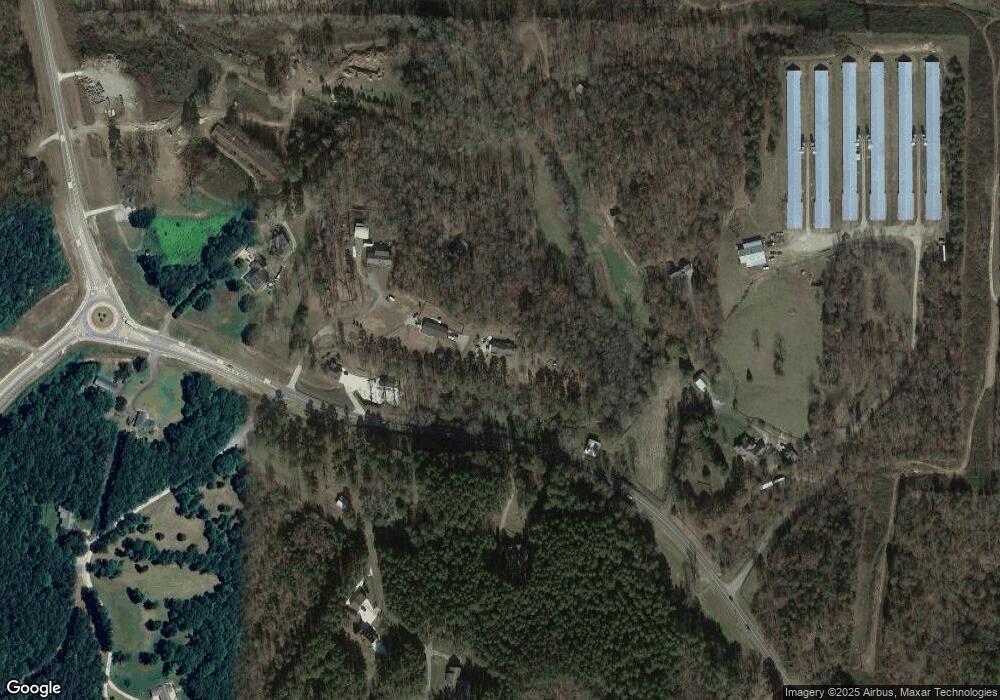
Map
Nearby Homes
- 166 Elliott Family Pkwy
- 7975 Fireside Farm Dr
- 700 Joe Lane Cox Rd Unit 221
- 702 Joe Lane Cox Rd Unit 201
- 702 Joe Lane Cox Rd Unit 220
- 702 Joe Lane Cox Rd Unit 102
- 159 Trace Bluff
- 151 Trace Bluff
- 139 Trace Bluff
- 230 Flowing Trail
- 129 Trace Bluff
- Burke Plan at Villas at Dawsonville
- Arlington Plan at Villas at Dawsonville
- Dillon Plan at Villas at Dawsonville
- Clayton Plan at Villas at Dawsonville
- Edinburg Plan at Villas at Dawsonville
- Elijah Plan at Villas at Dawsonville - Townhomes
- Ellerbe Plan at Villas at Dawsonville
- 76 Trace Bluff
- 68 Trace Bluff
- 2456 Highway 53 W
- 220 Katydid Ln
- 2264 Highway 53 W
- 2458 Highway 53 W
- 66 Katydid Ln
- 2210 Highway 53 W
- 2408 Highway 53 W
- 2293 Highway 53 W
- 2214 Highway 53 W
- 0 Highway 183 Unit 3157340
- 0 Highway 183 Unit 7608784
- 0 Highway 183 Unit 8018657
- 0 Highway 183 Unit 8039173
- 180 Daniel Dr
- 144 Daniel Dr
- 239 Will Hall Rd
- 267 Daniel Dr
- 0 Elliott Family Pkwy Hwy 83
- 0 Elliott Family Parkway Aka Hwy 183
- 0000 Elliott Family Pkwy