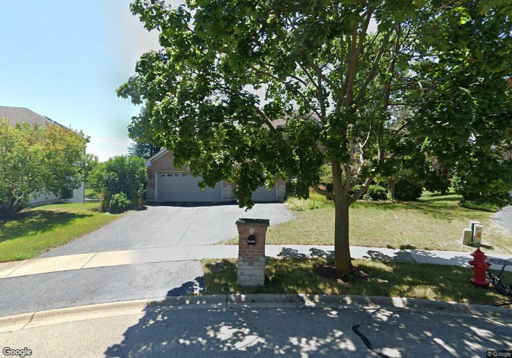
24521 Rockefeller Ct Plainfield, IL 60544
North Plainfield NeighborhoodEstimated Value: $542,047 - $631,000
Studio
--
Bath
2,892
Sq Ft
$201/Sq Ft
Est. Value
About This Home
This home is located at 24521 Rockefeller Ct, Plainfield, IL 60544 and is currently estimated at $582,012, approximately $201 per square foot. 24521 Rockefeller Ct is a home located in Will County with nearby schools including Eagle Pointe Elementary School, Heritage Grove Middle School, and Plainfield North High School.
Ownership History
Date
Name
Owned For
Owner Type
Purchase Details
Closed on
Nov 28, 2005
Sold by
Cosmopolitan Bank & Trust
Bought by
Lucas Robb D and Lucas Cheryl L
Current Estimated Value
Home Financials for this Owner
Home Financials are based on the most recent Mortgage that was taken out on this home.
Original Mortgage
$315,450
Outstanding Balance
$177,230
Interest Rate
6.36%
Mortgage Type
Fannie Mae Freddie Mac
Estimated Equity
$404,782
Create a Home Valuation Report for This Property
The Home Valuation Report is an in-depth analysis detailing your home's value as well as a comparison with similar homes in the area
Home Values in the Area
Average Home Value in this Area
Purchase History
| Date | Buyer | Sale Price | Title Company |
|---|---|---|---|
| Lucas Robb D | $394,500 | Ticor Title |
Source: Public Records
Mortgage History
| Date | Status | Borrower | Loan Amount |
|---|---|---|---|
| Open | Lucas Robb D | $315,450 |
Source: Public Records
Tax History
| Year | Tax Paid | Tax Assessment Tax Assessment Total Assessment is a certain percentage of the fair market value that is determined by local assessors to be the total taxable value of land and additions on the property. | Land | Improvement |
|---|---|---|---|---|
| 2024 | $11,504 | $164,049 | $34,390 | $129,659 |
| 2023 | $11,504 | $148,165 | $31,060 | $117,105 |
| 2022 | $11,020 | $133,072 | $27,896 | $105,176 |
| 2021 | $9,745 | $124,366 | $26,071 | $98,295 |
| 2020 | $9,607 | $120,837 | $25,331 | $95,506 |
| 2019 | $9,270 | $115,137 | $24,136 | $91,001 |
| 2018 | $8,857 | $108,177 | $22,677 | $85,500 |
| 2017 | $8,584 | $102,801 | $21,550 | $81,251 |
| 2016 | $8,037 | $94,356 | $20,553 | $73,803 |
| 2015 | $7,323 | $88,389 | $19,253 | $69,136 |
| 2014 | $7,323 | $83,325 | $18,573 | $64,752 |
| 2013 | $7,323 | $83,325 | $18,573 | $64,752 |
Source: Public Records
Map
Nearby Homes
- 25004 Chelsea Ln
- 24535 W Beckham Cir
- 24439 W Beckham Cir
- 24112 W Joseph Ave
- 12854 S Sydney Cir
- 12966 S Twin Pines Ln
- 13018 S Sydney Cir
- 12901 S Twin Pines Ln
- 12950 S Twin Pines Ln
- 12938 S Beckham Dr
- 13028 Bradford Ln Unit 1
- 12916 S Mason Ln
- 24650 W Adalyn Ct
- 12942 S Sydney Cir
- 12946 S Sydney Cir
- 12913 Waterford Ct Unit 1
- 25216 Round Barn Rd Unit 11
- 24708 W Owen Ct
- 24505 W Kroll Dr Unit 67416
- 24420 W Alexis Ln Unit 55407
- 24533 Rockefeller Ct
- 24513 Rockefeller Ct
- 13603 Taylor Ct
- 24505 Rockefeller Ct
- 24534 Rockefeller Ct
- 13609 Taylor Ct
- 24520 Rockefeller Ct
- 24512 Rockefeller Ct
- 13604 Taylor Ct
- 24504 Rockefeller Ct
- 13522 Vicarage Dr
- 13613 Taylor Ct
- 13528 Vicarage Dr
- 13610 Taylor Ct
- 13500 Rockefeller Cir
- 13621 Taylor Ct
- 13616 Taylor Ct
- 13534 Vicarage Dr
- 13521 Vicarage Dr
- 13501 Rockefeller Cir