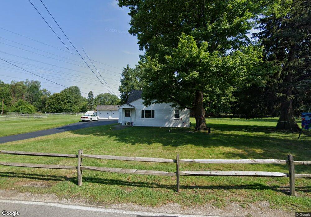
24528 Barrett Rd Olmsted Falls, OH 44138
Estimated Value: $251,000 - $318,000
3
Beds
1
Bath
1,421
Sq Ft
$200/Sq Ft
Est. Value
About This Home
This home is located at 24528 Barrett Rd, Olmsted Falls, OH 44138 and is currently estimated at $283,830, approximately $199 per square foot. 24528 Barrett Rd is a home located in Cuyahoga County with nearby schools including Falls-Lenox Primary Elementary School, Olmsted Falls Intermediate Building, and Olmsted Falls Middle School.
Ownership History
Date
Name
Owned For
Owner Type
Purchase Details
Closed on
Aug 4, 1995
Sold by
Mcwilliams Clyde L
Bought by
Pring Robert H and Pring Linda M
Current Estimated Value
Home Financials for this Owner
Home Financials are based on the most recent Mortgage that was taken out on this home.
Original Mortgage
$97,000
Interest Rate
7.56%
Mortgage Type
New Conventional
Purchase Details
Closed on
Jan 1, 1975
Bought by
Mcwilliams Mcwilliams C and Mcwilliams Dolores A
Create a Home Valuation Report for This Property
The Home Valuation Report is an in-depth analysis detailing your home's value as well as a comparison with similar homes in the area
Home Values in the Area
Average Home Value in this Area
Purchase History
| Date | Buyer | Sale Price | Title Company |
|---|---|---|---|
| Pring Robert H | $121,250 | -- | |
| Mcwilliams Mcwilliams C | -- | -- |
Source: Public Records
Mortgage History
| Date | Status | Borrower | Loan Amount |
|---|---|---|---|
| Closed | Pring Robert H | $97,000 |
Source: Public Records
Tax History Compared to Growth
Tax History
| Year | Tax Paid | Tax Assessment Tax Assessment Total Assessment is a certain percentage of the fair market value that is determined by local assessors to be the total taxable value of land and additions on the property. | Land | Improvement |
|---|---|---|---|---|
| 2024 | $5,354 | $82,215 | $17,640 | $64,575 |
| 2023 | $4,365 | $57,610 | $17,360 | $40,250 |
| 2022 | $4,446 | $57,610 | $17,360 | $40,250 |
| 2021 | $4,403 | $57,610 | $17,360 | $40,250 |
| 2020 | $4,046 | $48,410 | $14,600 | $33,810 |
| 2019 | $3,665 | $138,300 | $41,700 | $96,600 |
| 2018 | $3,460 | $48,410 | $14,600 | $33,810 |
| 2017 | $3,421 | $44,560 | $13,550 | $31,010 |
| 2016 | $3,403 | $44,560 | $13,550 | $31,010 |
| 2015 | $3,456 | $44,560 | $13,550 | $31,010 |
| 2014 | $3,456 | $44,560 | $13,550 | $31,010 |
Source: Public Records
Map
Nearby Homes
- 0 River Rd Unit 5169658
- 7587 Lewis Rd
- 7030 Columbia Rd
- 5668 Allendale Dr
- 260 Stone Ridge Way
- 228 Stone Ridge Way
- 3 Dogwood Ln
- 25118 Carey Ln
- 281-12-007 River Rd
- 5 Hawthorn Dr
- 281-12-024 River Rd
- 55 Patio Ln
- 11 Brookins Dr
- 5308 Columbia Rd
- 351 Lombardy Dr
- 7593 Columbia Rd
- 136 River Rock Way Unit D
- 100 River Rock Way
- 25725 Cook Rd
- 27 Sycamore Dr
- 7094 Spafford Rd
- 24537 Barrett Rd
- 24525 Barrett Rd
- 24521 Barrett Rd
- 24517 Barrett Rd
- 24555 Barrett Rd
- 24505 Barrett Rd
- 24497 Barrett Rd
- 24485 Barrett Rd
- 7253 Lewis Rd
- 6843 Lewis Rd
- 7273 Lewis Rd
- 7281 Lewis Rd
- 7331 Lewis Rd
- 7301 Lewis Rd
- 7311 Lewis Rd
- 6985 Lewis Rd
- 24475 Barrett Rd
- 7351 Lewis Rd
- 7280 Lewis Rd