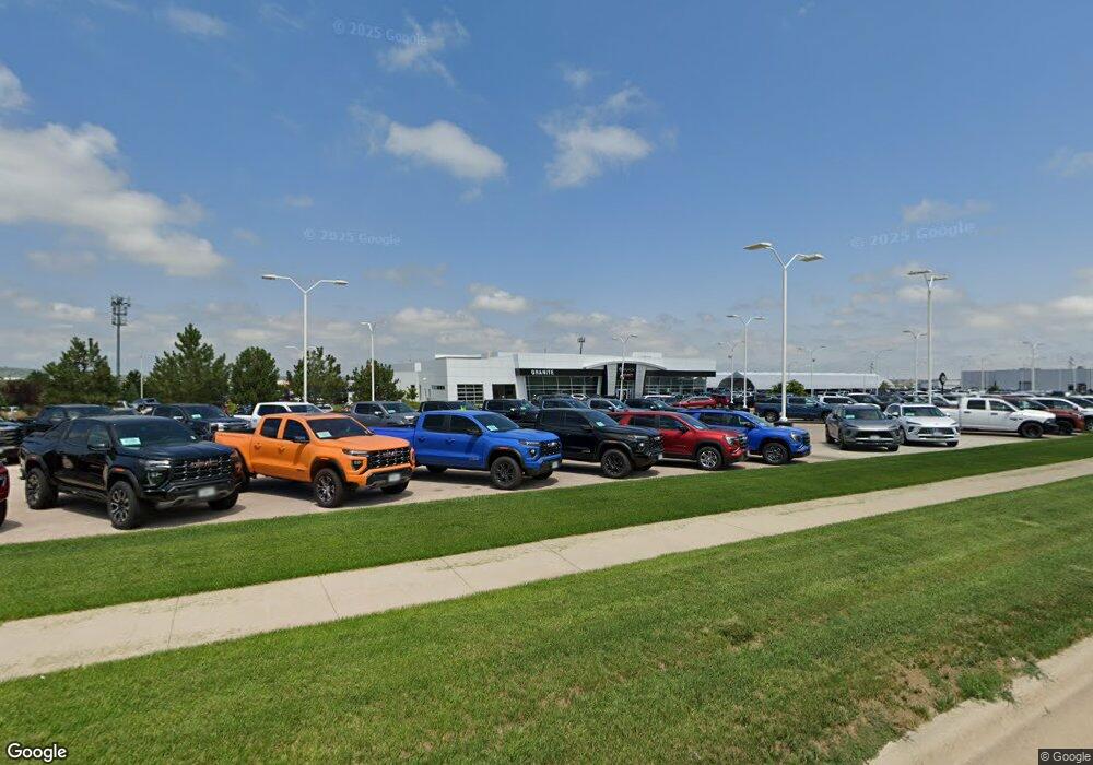
2454 E Mall Dr Rapid City, SD 57701
Northeast Rapid City Neighborhood
--
Bed
--
Bath
38,030
Sq Ft
13.47
Acres
About This Home
This home is located at 2454 E Mall Dr, Rapid City, SD 57701. 2454 E Mall Dr is a home located in Pennington County with nearby schools including Knollwood Heights Elementary School, North Middle School, and Central High School.
Ownership History
Date
Name
Owned For
Owner Type
Purchase Details
Closed on
May 18, 2023
Purchase Details
Closed on
Jun 3, 2014
Sold by
Not Provided
Bought by
Arm Land Llc
Home Financials for this Owner
Home Financials are based on the most recent Mortgage that was taken out on this home.
Original Mortgage
$9,360,000
Interest Rate
4.18%
Mortgage Type
Unknown
Create a Home Valuation Report for This Property
The Home Valuation Report is an in-depth analysis detailing your home's value as well as a comparison with similar homes in the area
Home Values in the Area
Average Home Value in this Area
Purchase History
| Date | Buyer | Sale Price | Title Company |
|---|---|---|---|
| -- | $23,300,000 | -- | |
| Arm Land Llc | -- | -- |
Source: Public Records
Mortgage History
| Date | Status | Borrower | Loan Amount |
|---|---|---|---|
| Previous Owner | Arm Land Llc | $9,360,000 |
Source: Public Records
Tax History Compared to Growth
Tax History
| Year | Tax Paid | Tax Assessment Tax Assessment Total Assessment is a certain percentage of the fair market value that is determined by local assessors to be the total taxable value of land and additions on the property. | Land | Improvement |
|---|---|---|---|---|
| 2025 | -- | $21,287,200 | $2,200,300 | $19,086,900 |
| 2024 | $281,571 | $20,381,300 | $2,200,300 | $18,181,000 |
| 2023 | $281,873 | $19,716,900 | $2,200,300 | $17,516,600 |
| 2022 | $288,471 | $18,999,000 | $2,200,300 | $16,798,700 |
| 2021 | $316,507 | $18,879,000 | $2,200,300 | $16,678,700 |
| 2020 | $312,807 | $18,053,000 | $2,200,300 | $15,852,700 |
| 2019 | $307,302 | $17,586,300 | $2,200,300 | $15,386,000 |
| 2018 | $299,316 | $17,335,000 | $2,200,300 | $15,134,700 |
| 2017 | $238,769 | $17,429,700 | $2,200,300 | $15,229,400 |
| 2016 | $38,992 | $13,046,100 | $2,200,300 | $10,845,800 |
| 2015 | $38,992 | $2,053,600 | $2,053,600 | $0 |
Source: Public Records
Map
Nearby Homes
- 0 E Mall Dr
- Lot 1B Eglin St
- 3211 E Mall Dr
- 3241 E Mall Dr
- 1980.4 Seger Dr
- 1980 Seger Dr Unit Lot 2
- 3550 E Mall Dr Unit Dakota Craft Dr
- 3715 Edwards St
- 217 Isaac St
- 1980.3 Seger Dr
- 2780.49 143rd Ave
- 3637 Edwards St
- 552 Aaron Ct
- 2780.39 143rd Ave
- 516 Aaron Ct
- 2780 143rd Ave Unit 17
- 2780 143rd Ave Unit Lot 58
- 2780 143rd Ave Unit 79
- 2780 143rd Ave Unit 15
- 2780 143rd Ave Unit 25
- 2511 Distribution Ln
- 1931 Dyess Ave
- 2219 Distribution Ln
- 2520 Distribution Ln
- 2323 E Mall Dr
- 2010 E Mall Dr
- 2203 Distribution Ln
- TBD Lot 3 Dyess Ave
- 1645 Dyess Ave
- 1880 Dyess Ave
- 1880 Dyess Ave Unit 2110 Dyess Avenue
- 2110 Dyess Ave
- 2130 Dyess Ave
- 0 Tish Blvd
- 2830 E Mall Dr
- 2160 Dyess Ave
- 2160 Dyess Ave Unit 2 North; 8 East; Sec
- 1920 E Mall Dr
- 2330 Emerson Ln
- 2230 Dyess Ave
