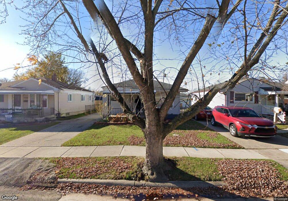
24543 Rosalind Ave Unit Bldg-Unit Eastpointe, MI 48021
Estimated Value: $150,000 - $164,000
--
Bed
2
Baths
948
Sq Ft
$167/Sq Ft
Est. Value
About This Home
This home is located at 24543 Rosalind Ave Unit Bldg-Unit, Eastpointe, MI 48021 and is currently estimated at $158,034, approximately $166 per square foot. 24543 Rosalind Ave Unit Bldg-Unit is a home located in Macomb County with nearby schools including Forest Park Elementary School, Eastpointe Middle School, and Reach Charter Academy.
Ownership History
Date
Name
Owned For
Owner Type
Purchase Details
Closed on
Dec 20, 2018
Sold by
Dream Place Llc
Bought by
Farris Saul
Current Estimated Value
Purchase Details
Closed on
Jul 26, 2016
Sold by
Macomb County Treasurer
Bought by
City Of Eastpointe
Create a Home Valuation Report for This Property
The Home Valuation Report is an in-depth analysis detailing your home's value as well as a comparison with similar homes in the area
Home Values in the Area
Average Home Value in this Area
Purchase History
| Date | Buyer | Sale Price | Title Company |
|---|---|---|---|
| Farris Saul | $106,000 | M S Title Agency Llc | |
| City Of Eastpointe | $246,526 | Attorney |
Source: Public Records
Tax History Compared to Growth
Tax History
| Year | Tax Paid | Tax Assessment Tax Assessment Total Assessment is a certain percentage of the fair market value that is determined by local assessors to be the total taxable value of land and additions on the property. | Land | Improvement |
|---|---|---|---|---|
| 2025 | $2,495 | $61,900 | $0 | $0 |
| 2024 | $2,356 | $57,600 | $0 | $0 |
| 2023 | $2,281 | $55,500 | $0 | $0 |
| 2022 | $2,359 | $46,100 | $0 | $0 |
| 2021 | $2,323 | $41,100 | $0 | $0 |
| 2020 | $2,218 | $36,400 | $0 | $0 |
| 2019 | $2,225 | $33,800 | $0 | $0 |
| 2018 | $2,334 | $26,220 | $0 | $0 |
| 2017 | $1,368 | $24,060 | $2,910 | $21,150 |
| 2016 | $1,547 | $24,060 | $0 | $0 |
| 2015 | $1,182 | $21,210 | $0 | $0 |
| 2013 | -- | $20,500 | $0 | $0 |
Source: Public Records
Map
Nearby Homes
- 24648 Wilmot Ave
- 24336 Warrington Ct
- 18240 Stephens Dr
- 24296 Roxana Ave
- 24883 Wilmot Ave
- 23785 Schroeder Ave
- 24880 Warrington Ave
- 24821 Almond Ave
- 24646 Tuscany Ave
- 24301 Kelly Rd
- 23784 Brittany Ave
- 23772 Brittany Ave
- 24245 Tuscany Ave
- 23373 Wilmot Ave
- 23799 Brittany Ave
- 24676 Lambrecht Ave
- 17225 Bell Ave
- 23329 Roxana Ave
- 24924 Tuscany Ave
- 24707 Saxony Ave
- 24543 Rosalind Ave
- 24546 Lexington Ave
- 24551 Rosalind Ave
- 24538 Lexington Ave
- 24535 Rosalind Ave
- 24527 Rosalind Ave
- 24552 Lexington Ave
- 24560 Lexington Ave
- 24530 Lexington Ave
- 24559 Rosalind Ave
- 24519 Rosalind Ave
- 24567 Rosalind Ave
- 24520 Lexington Ave
- 24568 Lexington Ave
- 24511 Rosalind Ave
- 24512 Lexington Ave
- 24575 Rosalind Ave
- 24501 Rosalind Ave
- 24578 Lexington Ave
- 24542 Rosalind Ave