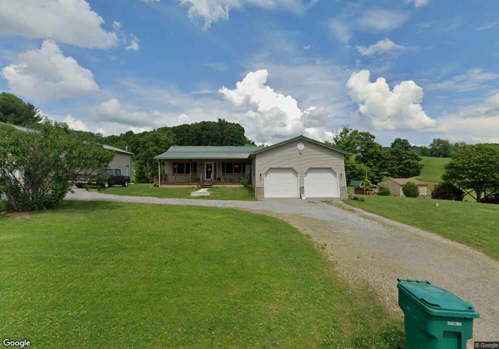
2455 Brushy Fork Rd Bridgeport, WV 26330
Estimated Value: $249,000 - $305,000
3
Beds
2
Baths
1,512
Sq Ft
$177/Sq Ft
Est. Value
About This Home
This home is located at 2455 Brushy Fork Rd, Bridgeport, WV 26330 and is currently estimated at $267,546, approximately $176 per square foot. 2455 Brushy Fork Rd is a home.
Ownership History
Date
Name
Owned For
Owner Type
Purchase Details
Closed on
Sep 26, 2008
Sold by
Keough Joseph Robert and Keough Vivian Lea
Bought by
Keough Joshua
Current Estimated Value
Home Financials for this Owner
Home Financials are based on the most recent Mortgage that was taken out on this home.
Original Mortgage
$5,000
Interest Rate
5.83%
Create a Home Valuation Report for This Property
The Home Valuation Report is an in-depth analysis detailing your home's value as well as a comparison with similar homes in the area
Home Values in the Area
Average Home Value in this Area
Purchase History
| Date | Buyer | Sale Price | Title Company |
|---|---|---|---|
| Keough Joshua | -- | None Available |
Source: Public Records
Mortgage History
| Date | Status | Borrower | Loan Amount |
|---|---|---|---|
| Closed | Keough Joshua | $5,000 |
Source: Public Records
Tax History Compared to Growth
Tax History
| Year | Tax Paid | Tax Assessment Tax Assessment Total Assessment is a certain percentage of the fair market value that is determined by local assessors to be the total taxable value of land and additions on the property. | Land | Improvement |
|---|---|---|---|---|
| 2025 | $1,277 | $109,620 | $28,260 | $81,360 |
| 2024 | $1,277 | $105,360 | $28,260 | $77,100 |
| 2023 | $1,208 | $103,440 | $28,260 | $75,180 |
| 2022 | $1,221 | $103,620 | $28,260 | $75,360 |
| 2021 | $1,214 | $104,220 | $28,260 | $75,960 |
| 2020 | $1,199 | $103,980 | $28,260 | $75,720 |
| 2019 | $1,205 | $104,460 | $28,260 | $76,200 |
| 2018 | $1,188 | $103,500 | $27,480 | $76,020 |
| 2017 | $1,240 | $108,480 | $26,700 | $81,780 |
| 2016 | $1,200 | $106,260 | $25,140 | $81,120 |
| 2015 | $1,177 | $103,620 | $23,520 | $80,100 |
| 2014 | $1,145 | $100,920 | $21,180 | $79,740 |
Source: Public Records
Map
Nearby Homes
- 542 Brushy Fork Rd
- 516 Brushy Fork Rd
- 131 Frisco Ln
- TBD Coplin Run Rd
- TBD Benedum Run Rd
- TBD Sterling Dr
- 332 Timberbrook Ln
- 54 Church St
- 4950 Buckhannon Pike
- 7 Mayflower Ln
- TBD Hinkle Lake Rd
- TBD N 24th St
- 210 Frisco Ln
- 2589 Philippi Pike
- 113 Frisco Ln
- 111 Frisco Ln
- 7644 Buckhannon Pike
- 0 Stouts Run Rd
- 8688 Cost Ave
- 8037 Maple Ave
- 2477 Brushy Fork Rd
- 2389 Brushy Fork Rd
- 2556 Brushy Fork Rd
- 2339 Brushy Fork Rd
- 2591 Brushy Fork Rd
- 2744 Brushy Fork Rd
- 58 Half and Half Dr
- 126 Half and Half Dr
- 2827 Brushy Fork Rd
- 2869 Brushy Fork Rd
- 299 Confederate Dr
- 286 Oake Den Farme Ln
- 3119 Hinkle Lake Rd
- 217 Ruffed Grouse Dr
- 243 Ruffed Grouse Dr
- 90 Whitetail Ln
- 322 Ruffed Grouse Dr
- 388 Ruffed Grouse Dr
- 156 Ruffed Grouse Dr
- 135 Ruffed Grouse Dr