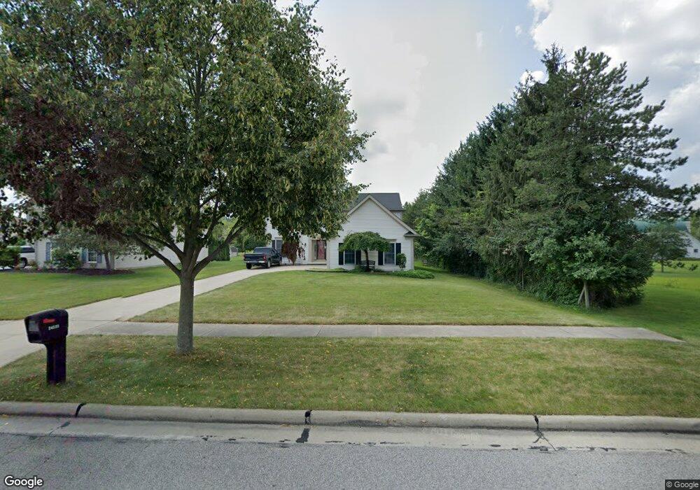
24555 West Rd Olmsted Falls, OH 44138
Estimated Value: $456,777 - $538,000
4
Beds
3
Baths
2,768
Sq Ft
$177/Sq Ft
Est. Value
About This Home
This home is located at 24555 West Rd, Olmsted Falls, OH 44138 and is currently estimated at $490,444, approximately $177 per square foot. 24555 West Rd is a home located in Cuyahoga County with nearby schools including Falls-Lenox Primary Elementary School, Olmsted Falls Intermediate Building, and Olmsted Falls Middle School.
Ownership History
Date
Name
Owned For
Owner Type
Purchase Details
Closed on
Jul 27, 2011
Sold by
Vanniel Leonard J and Van Niel Emily B
Bought by
Costa David M and Costa Diane L
Current Estimated Value
Purchase Details
Closed on
Jan 29, 1996
Sold by
Granite Dev
Bought by
Woodbridge Dev Co Inc
Home Financials for this Owner
Home Financials are based on the most recent Mortgage that was taken out on this home.
Original Mortgage
$554,400
Interest Rate
7.19%
Mortgage Type
New Conventional
Create a Home Valuation Report for This Property
The Home Valuation Report is an in-depth analysis detailing your home's value as well as a comparison with similar homes in the area
Home Values in the Area
Average Home Value in this Area
Purchase History
| Date | Buyer | Sale Price | Title Company |
|---|---|---|---|
| Costa David M | $225,000 | Maximum Title | |
| Woodbridge Dev Co Inc | $1,221,000 | -- |
Source: Public Records
Mortgage History
| Date | Status | Borrower | Loan Amount |
|---|---|---|---|
| Previous Owner | Woodbridge Dev Co Inc | $554,400 |
Source: Public Records
Tax History Compared to Growth
Tax History
| Year | Tax Paid | Tax Assessment Tax Assessment Total Assessment is a certain percentage of the fair market value that is determined by local assessors to be the total taxable value of land and additions on the property. | Land | Improvement |
|---|---|---|---|---|
| 2024 | $8,529 | $142,940 | $25,795 | $117,145 |
| 2023 | $7,587 | $106,050 | $23,660 | $82,390 |
| 2022 | $7,566 | $106,050 | $23,660 | $82,390 |
| 2021 | $7,491 | $106,050 | $23,660 | $82,390 |
| 2020 | $7,518 | $95,550 | $21,320 | $74,240 |
| 2019 | $6,671 | $273,000 | $60,900 | $212,100 |
| 2018 | $6,656 | $95,550 | $21,320 | $74,240 |
| 2017 | $6,332 | $84,910 | $17,290 | $67,620 |
| 2016 | $6,302 | $82,250 | $17,290 | $64,960 |
| 2015 | $5,860 | $82,250 | $17,290 | $64,960 |
| 2014 | $5,860 | $77,600 | $16,310 | $61,290 |
Source: Public Records
Map
Nearby Homes
- 8757 Roberts Ct Unit 25C
- Anderson Plan at Smokestack Trails
- Bramante Ranch Plan at Smokestack Trails
- Hudson Plan at Smokestack Trails
- Columbia Plan at Smokestack Trails
- Lehigh Plan at Smokestack Trails
- 8241 Lewis Rd
- 0
- 396 Crossbrook Dr
- Caroline Plan at Falls Landing - Villas
- Wexford Plan at Falls Landing - Villas
- Rosecliff Plan at Falls Landing - Villas
- 549 Wyleswood Dr
- 543 Wyleswood Dr
- 136 River Rock Way Unit D
- 537 Wyleswood Dr
- 23514 Grist Mill Ct Unit 4
- 100 River Rock Way
- 105 Clay Ct
- 25950 Bagley Rd
- 24495 West Rd
- 24435 West Rd
- 24452 Wilderness Trail
- 24400 Wilderness Trail
- 8782 Forest View Dr
- 8760 Forest View Dr
- 24580 West Rd
- 8804 Forest View Dr
- 24520 West Rd
- 24630 West Rd
- 24470 West Rd
- 8826 Forest View Dr
- 24690 West Rd
- 24410 West Rd
- 24464 Wilderness Trail
- 8724 Forest View Dr
- 8858 Forest View Dr
- 24515 Thicket Ln Unit H20
- 24547 Thicket Ln Unit H19
- 24589 Thicket Ln Unit H18